Purchases made through links earn us a small commission, at no extra cost to you.
The Vision Quest hike near Nordegg is one of the best hikes in the area for taking in views of Abraham Lake and Mount Michener.
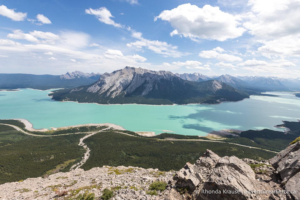
Short on distance but big on elevation, with scenery that’s as bold as the hike itself, Vision Quest makes you earn each stunning scene as you traverse rocky terrain up to a spectacular ridgeline.
Vision Quest Hike
Distance: 4.7 km round trip
Difficulty: Strenuous
Elevation Gain: 698 m
Surface: Dirt to start, a lot of loose rock/scree, some bare rock surface
Trail Type: Out and back
Time: 4- 6 hours (the average hiker should plan for 3- 3.5 hrs of moving time and allow for plenty of breaks)
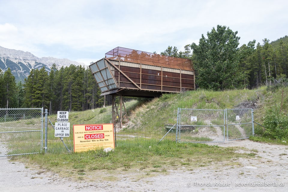
Trailhead: Cline Waste Transfer Station, just off of Hwy 11 (David Thompson Highway) about 45 km southwest of Nordegg.
* The distance and elevation don’t include the optional scramble to the summit.
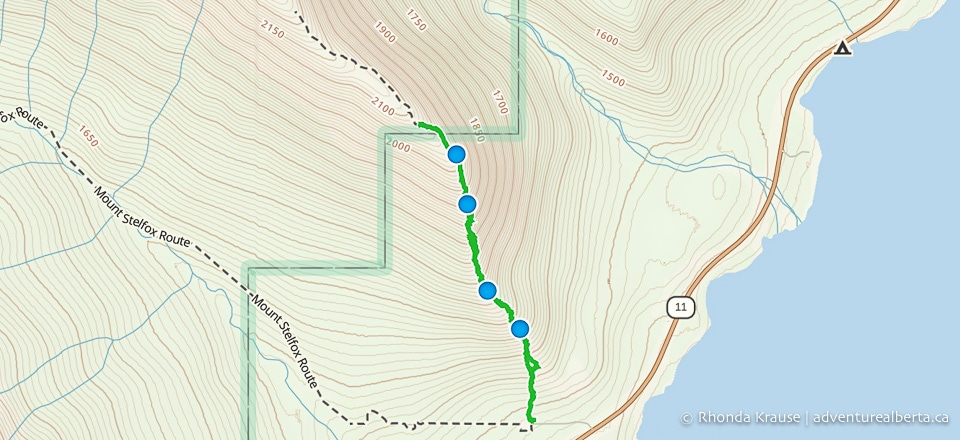
Vision Quest Trail Description
The Vision Quest Ridge hike is a leg-burner the entire way through, starting with a short ascent through the forest then an unrelenting, very steep climb (almost 700 m in just over 2 km) to a rocky ridgeline at 2,100 ft.
The hike begins next to the Cline Waste Transfer Station and the dirt trail is marked with a sign that says “Hiking” just before it enters into the trees.
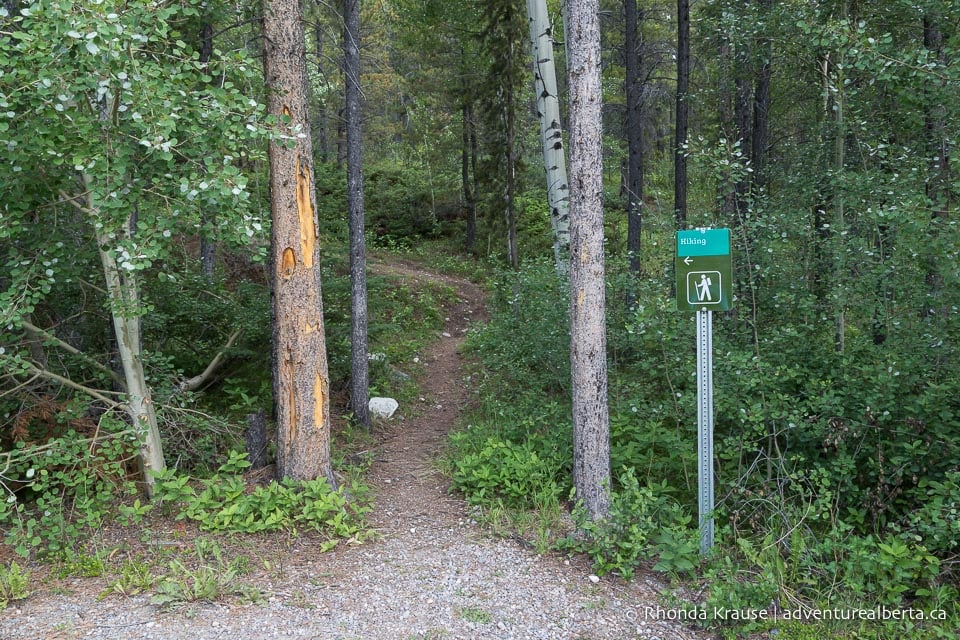
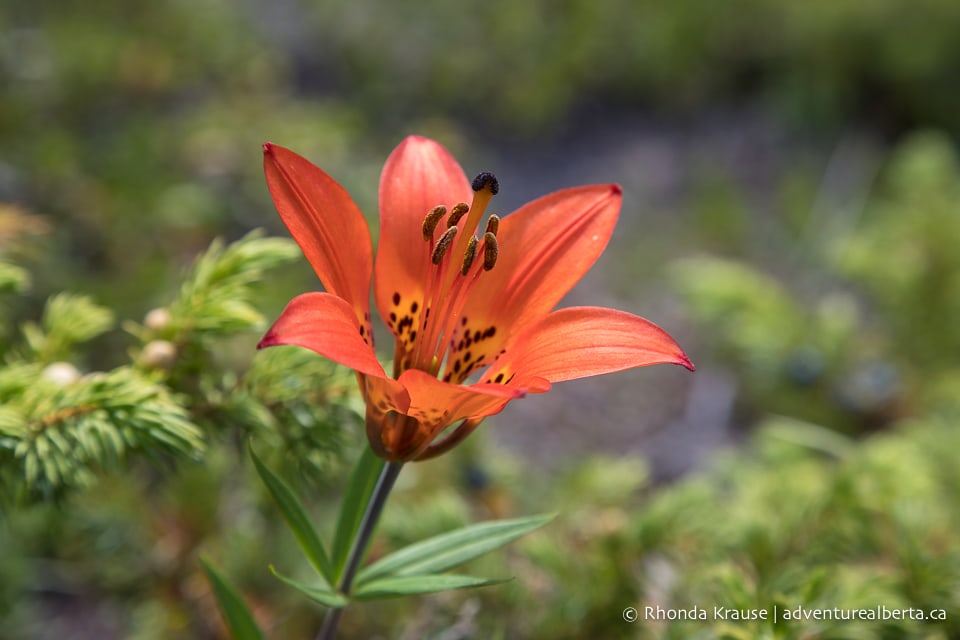
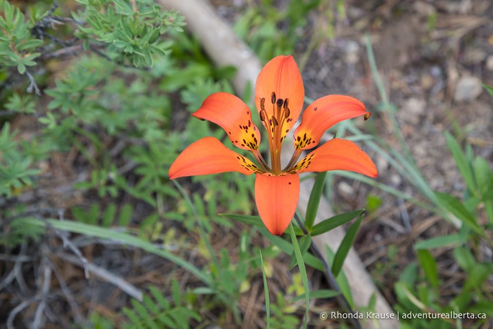
The trail meanders through the forest, passing by tiny meadows with wildflowers that brighten up the green slope.
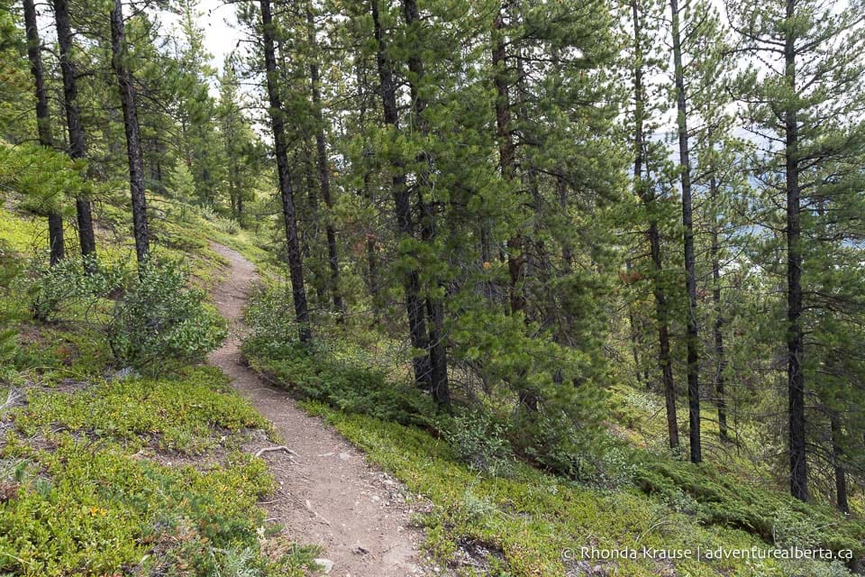
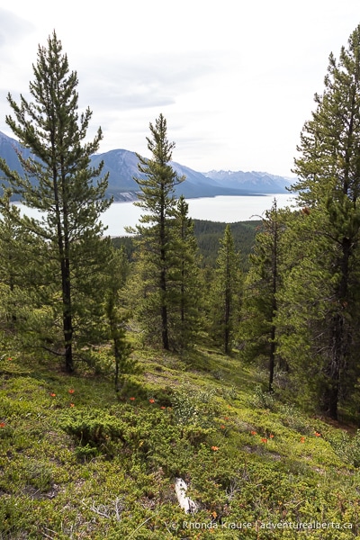
Soon the trail splits in two but the paths later meet up again near the edge of the forest, so it doesn’t really matter which way you choose.
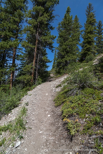
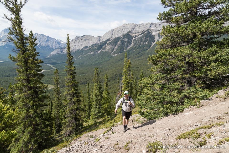
About 15 minutes into the hike, the trail exits the shelter of the forest, the path starts to become rockier, and the views open up as you continue to gain elevation.
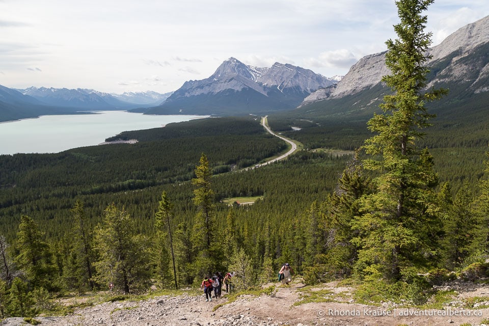

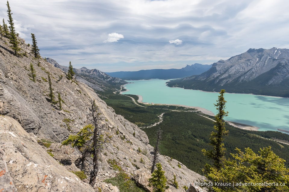
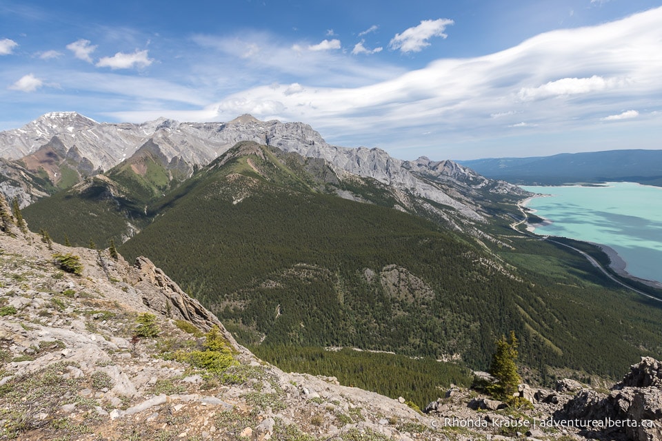
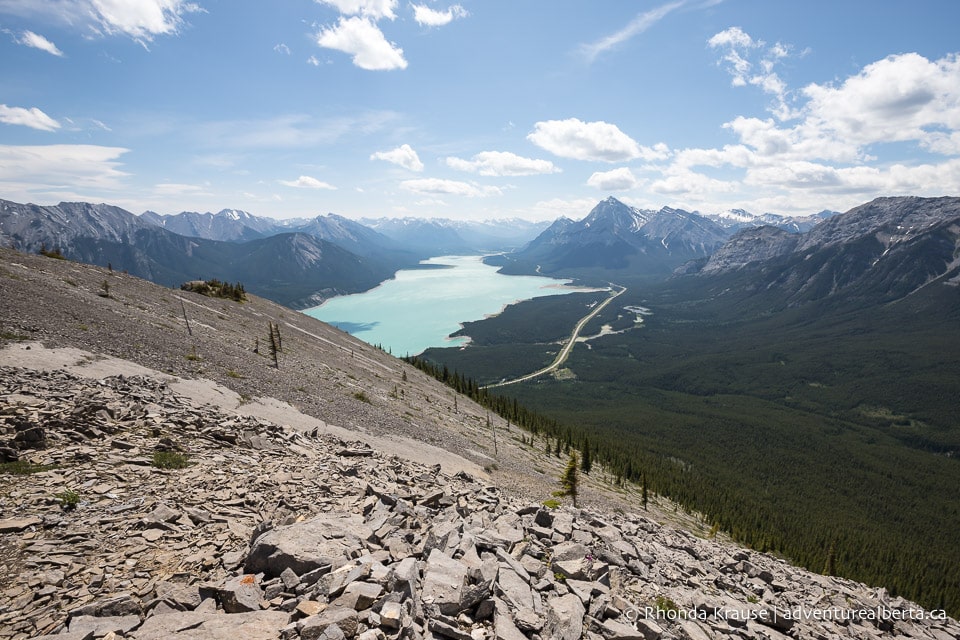
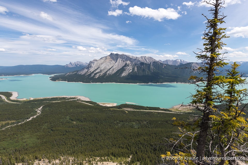
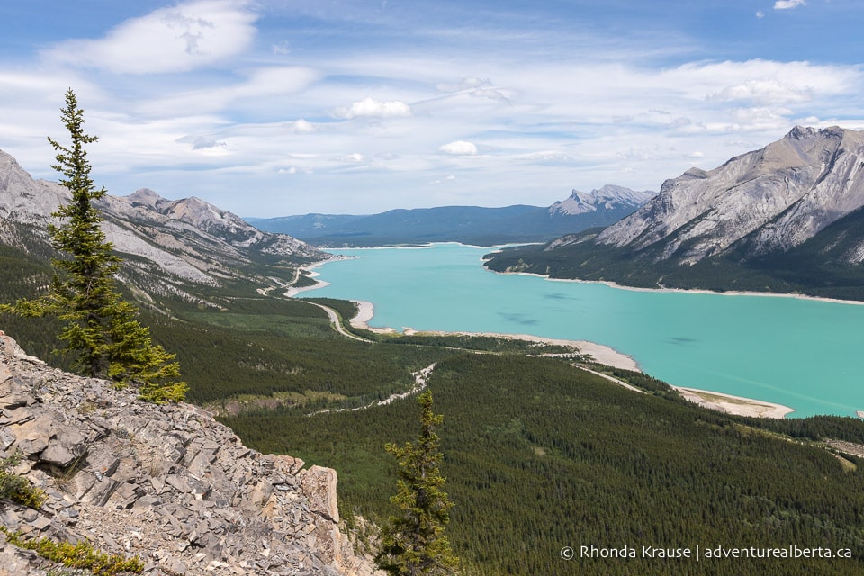
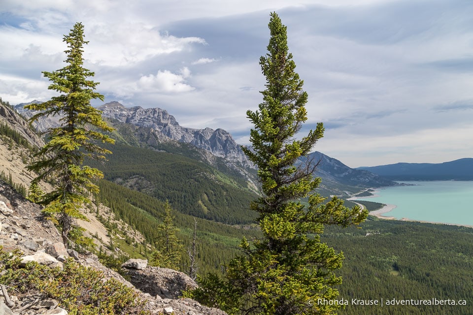
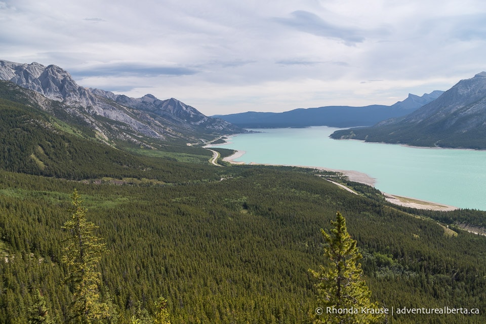
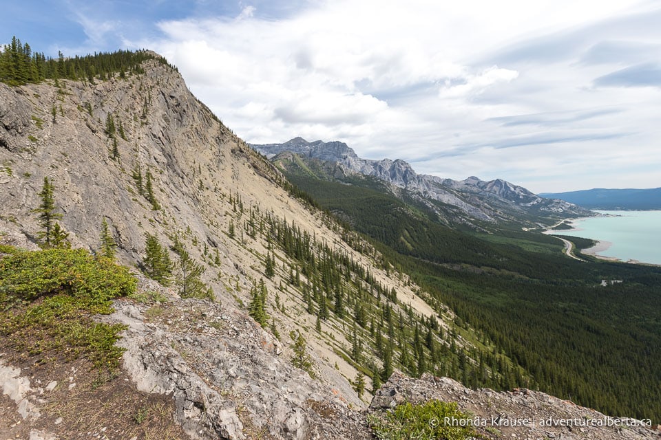
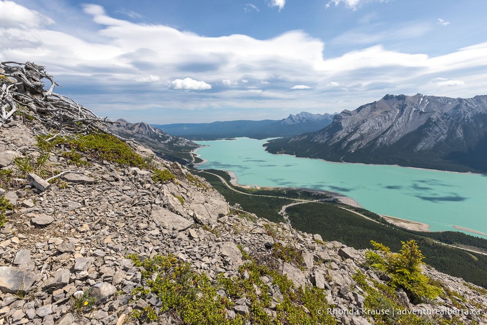
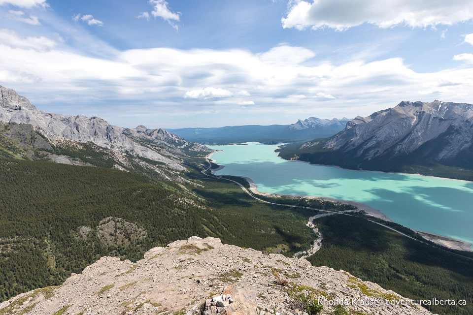
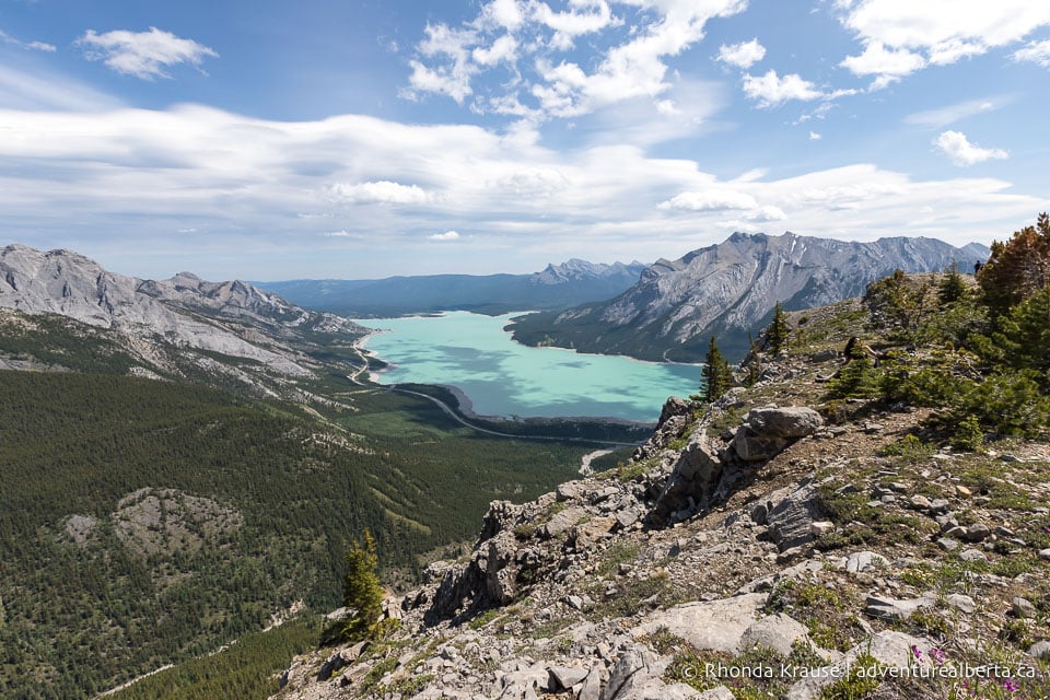
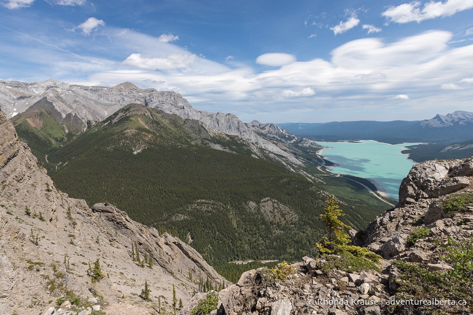
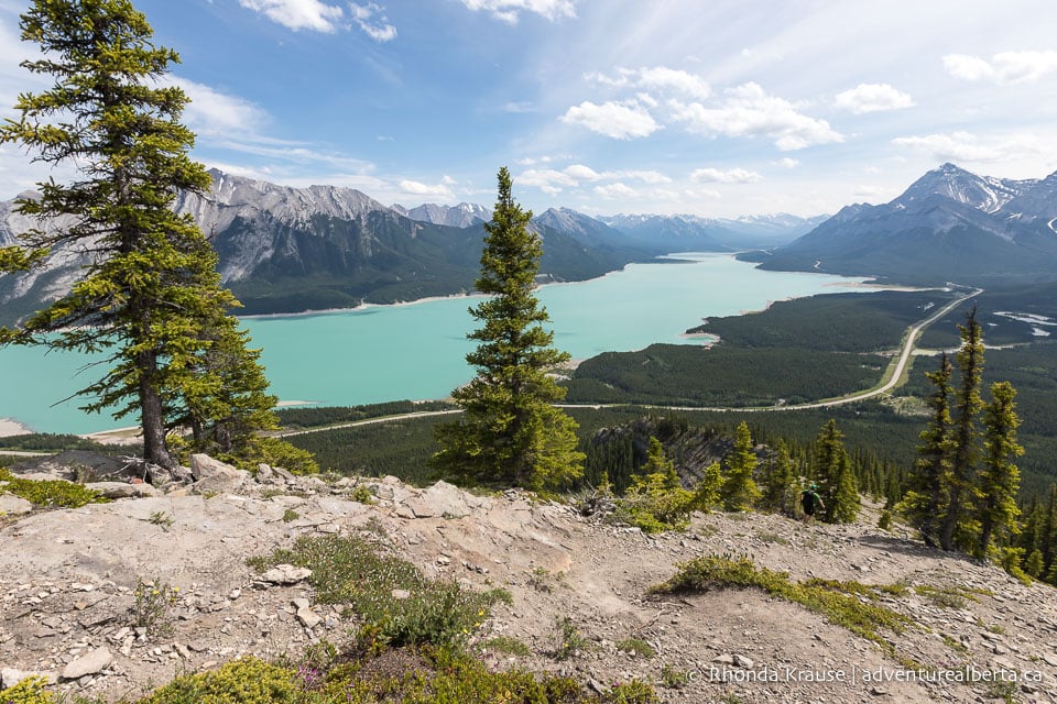
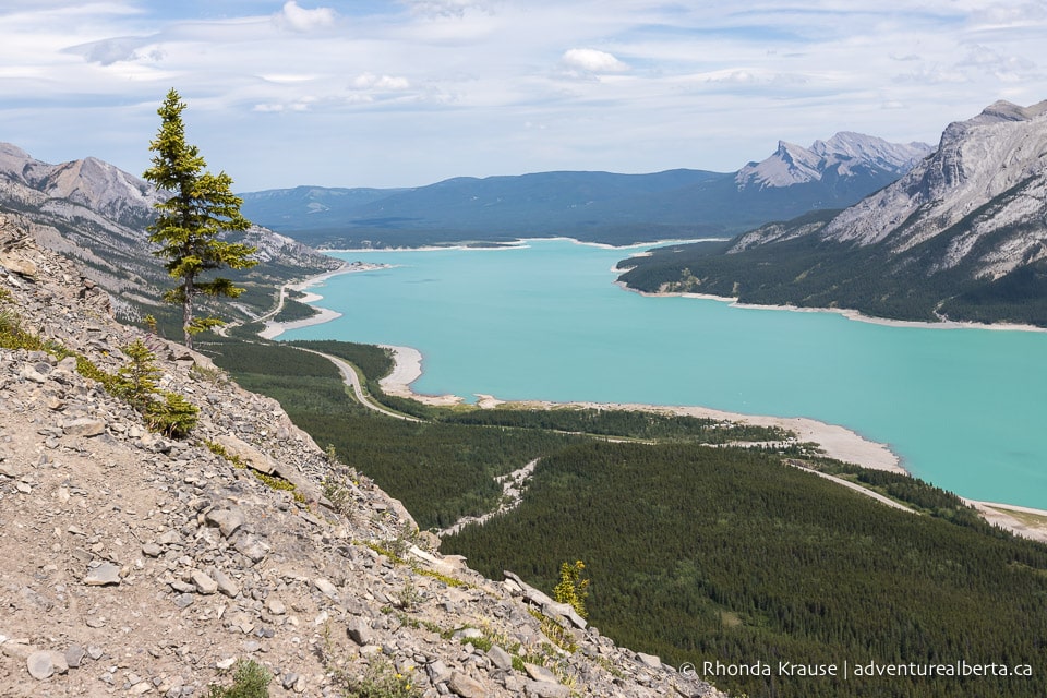
Looking back you can see Abraham Lake and the David Thompson Highway leading towards Elliot Peak and Sentinel Mountain. It’s impressive how much elevation has already been gained, proving that the Vision Quest hike is no joke!
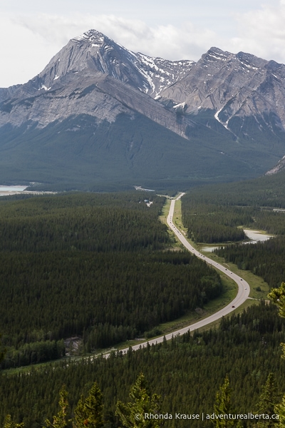
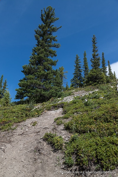
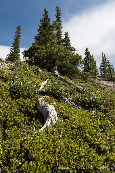
Continuing up the hillside, the trees gradually become more and more spaced out, revealing views of the surrounding mountains.
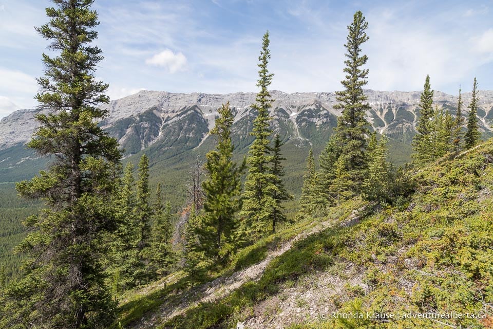
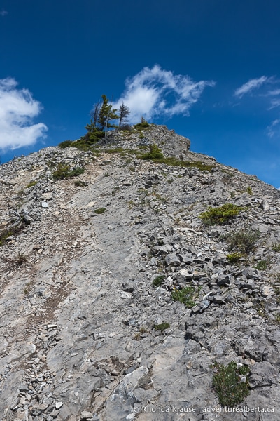
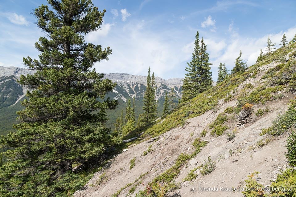
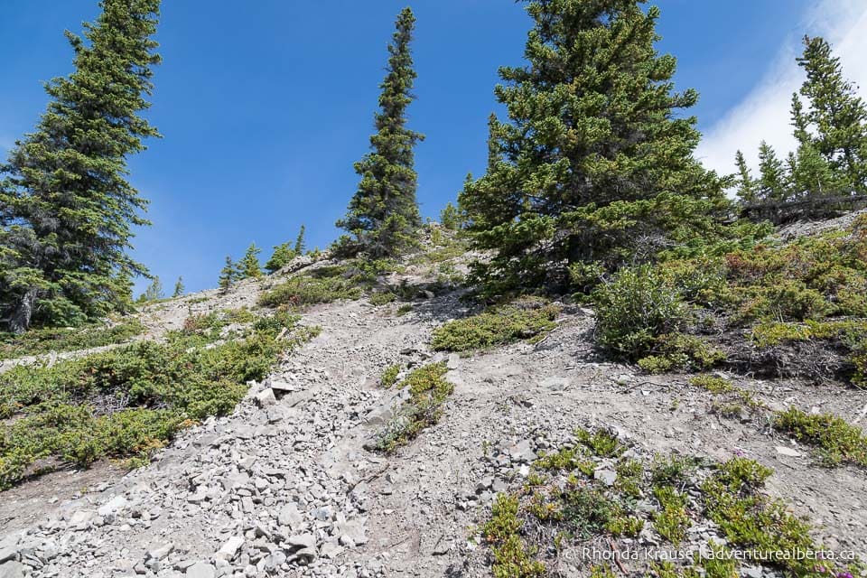
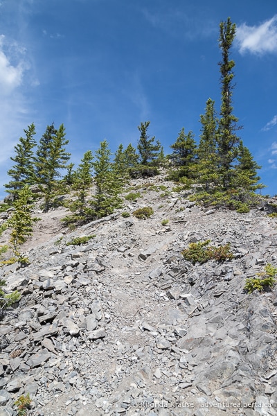
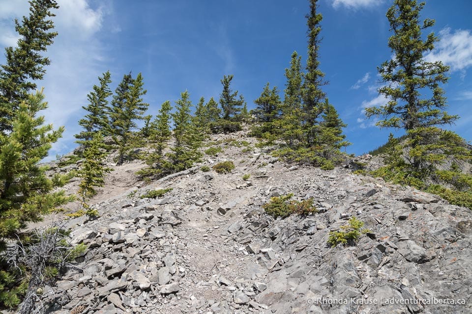
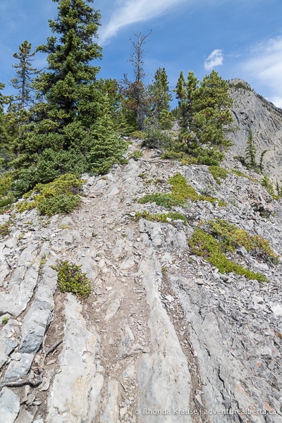
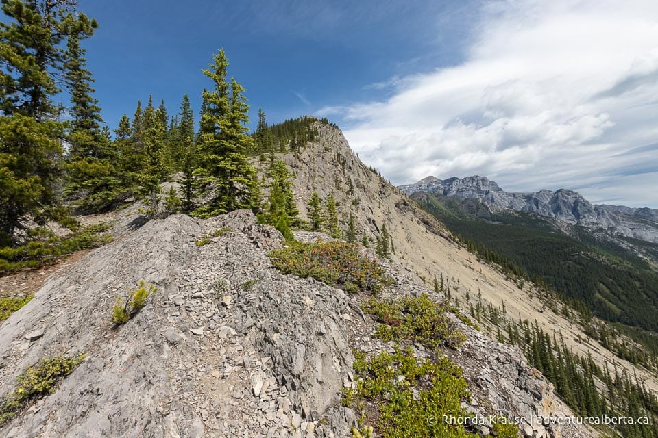
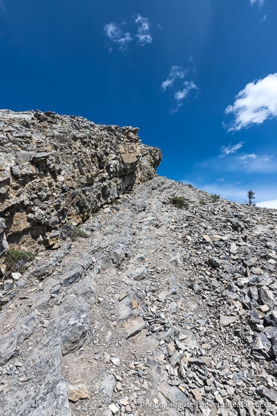
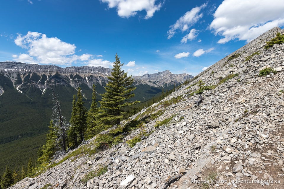
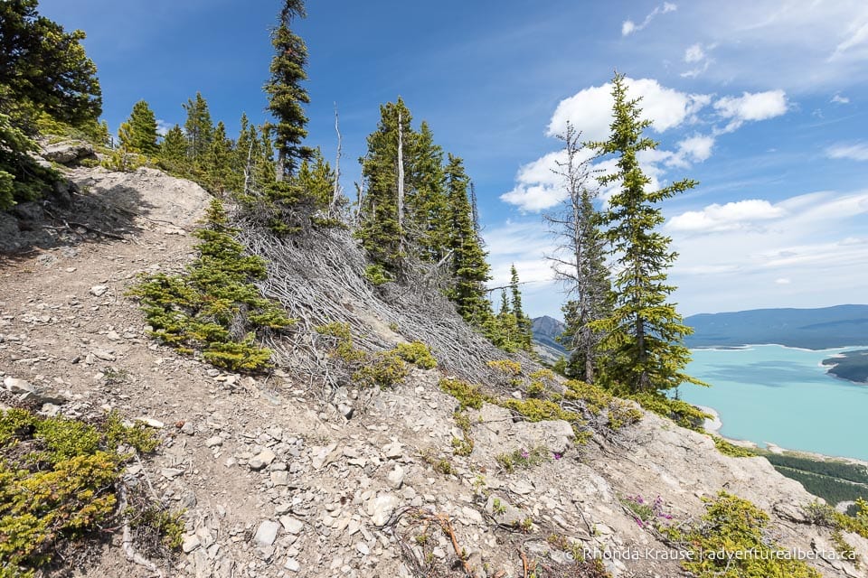
The higher you hike, the rockier the terrain becomes and eventually the route is no longer as obvious at it once was.
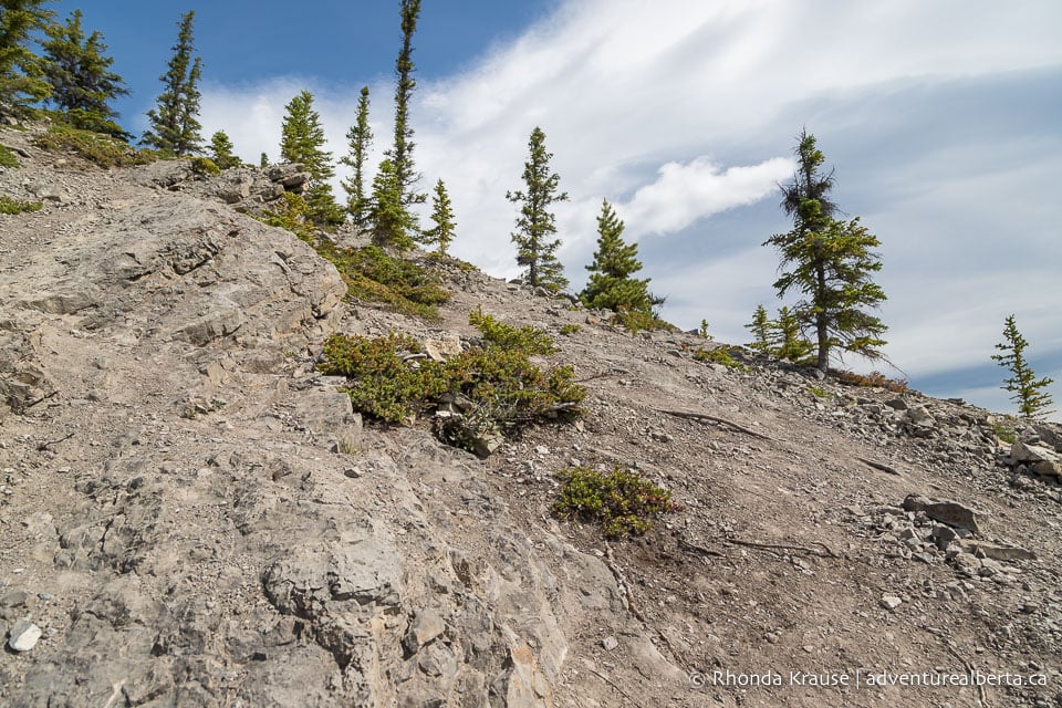
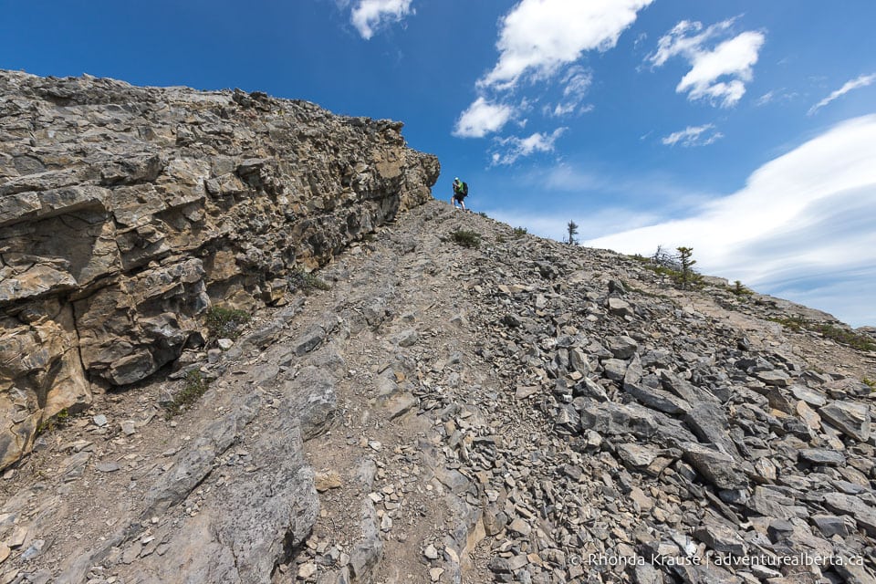
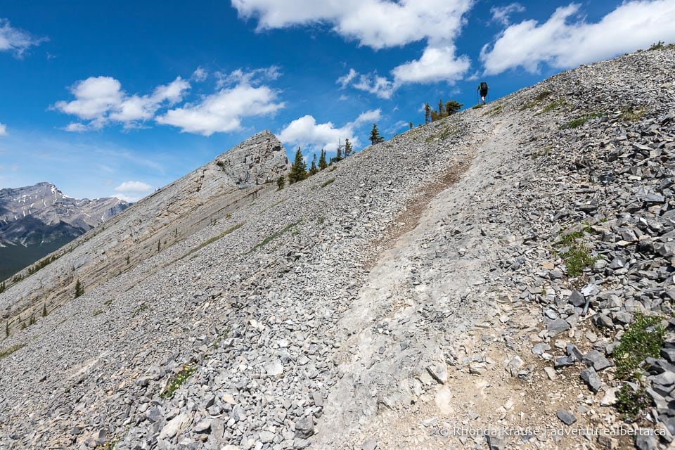
In some places you’ll notice several different trails but they all head in the same direction- up. Much of the Vision Quest hike is a “choose your own adventure” and you’ll need to make some minor route decisions based on the terrain. Basically, choose the path of least resistance, the one you’re most comfortable with, and keep on going up.
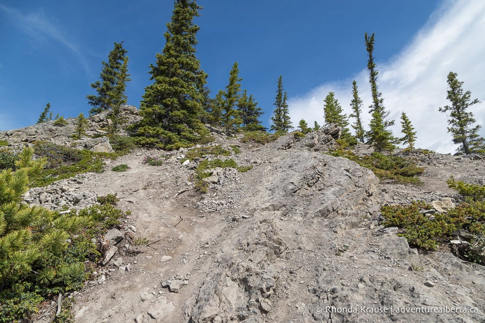
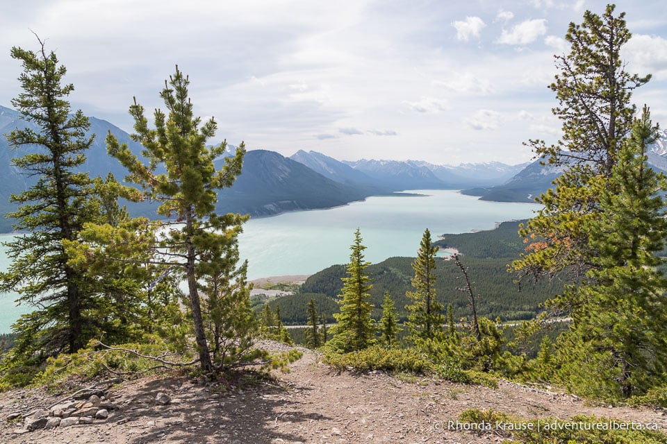
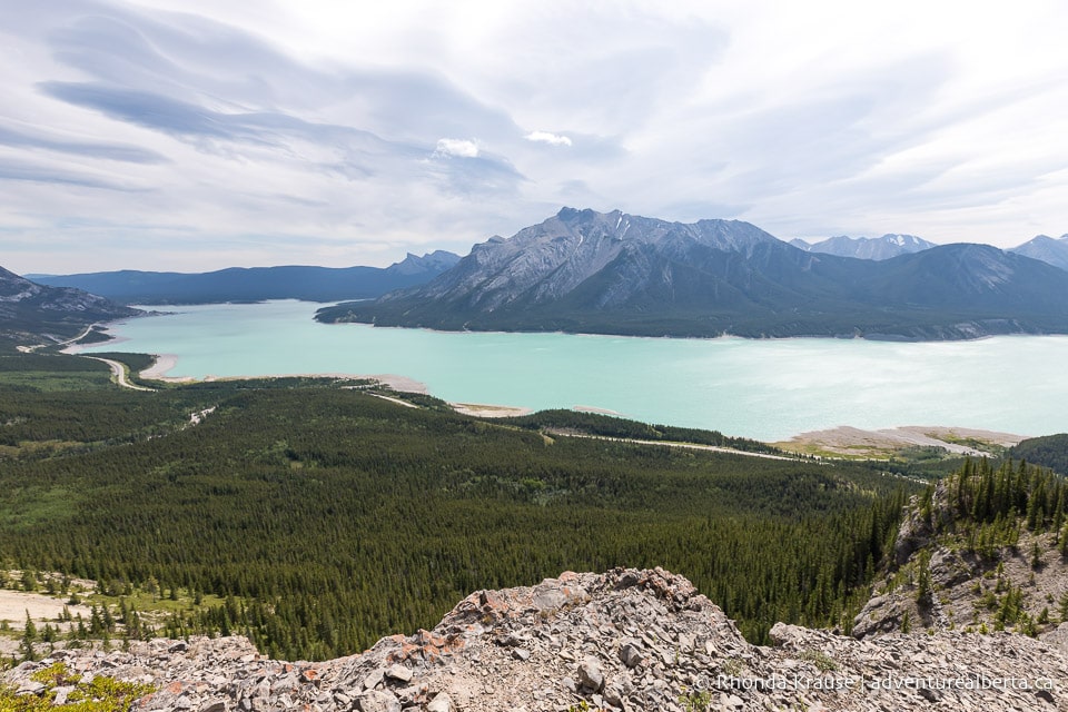
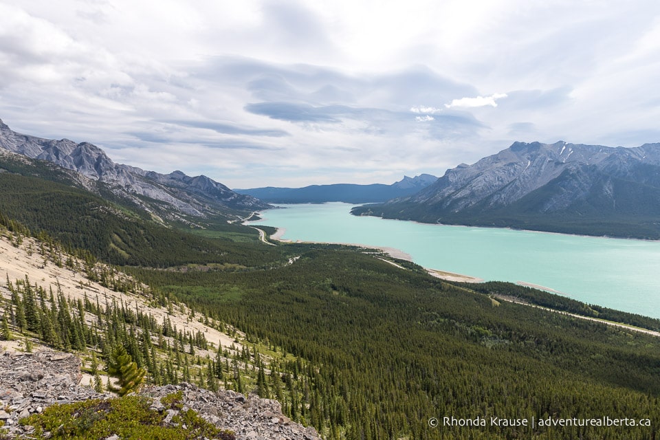
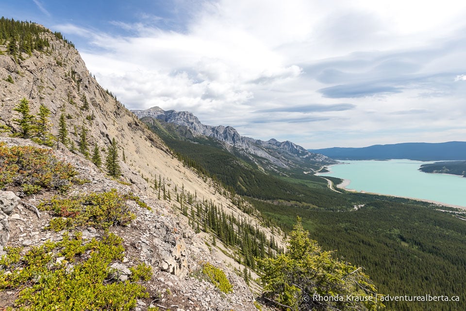
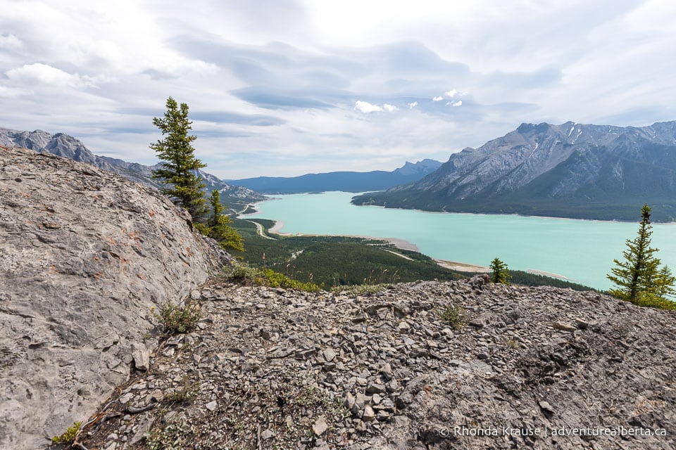
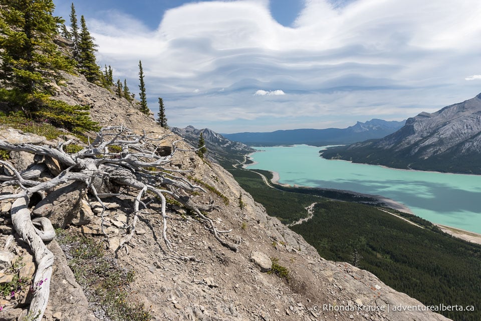
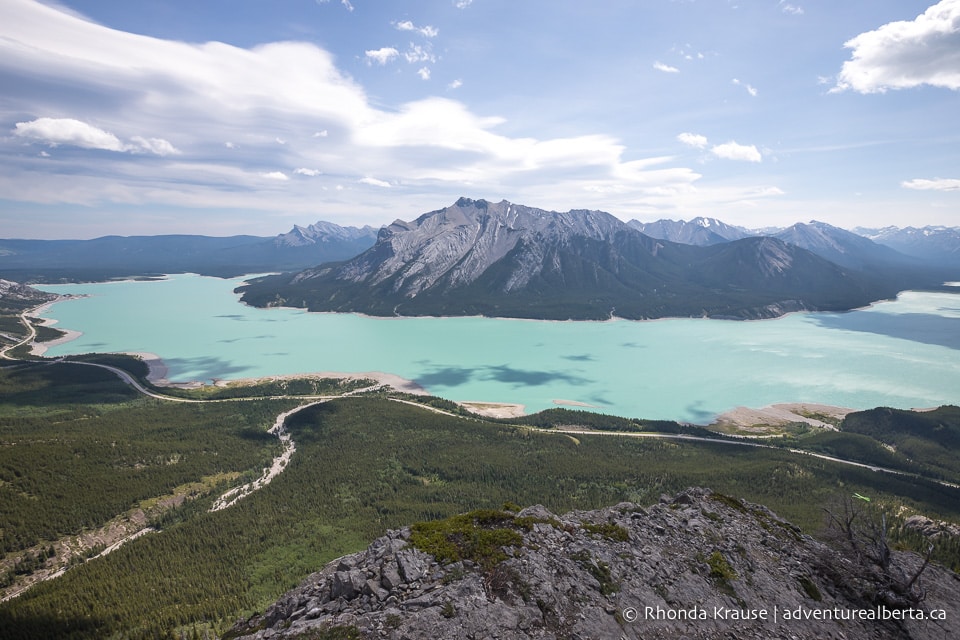
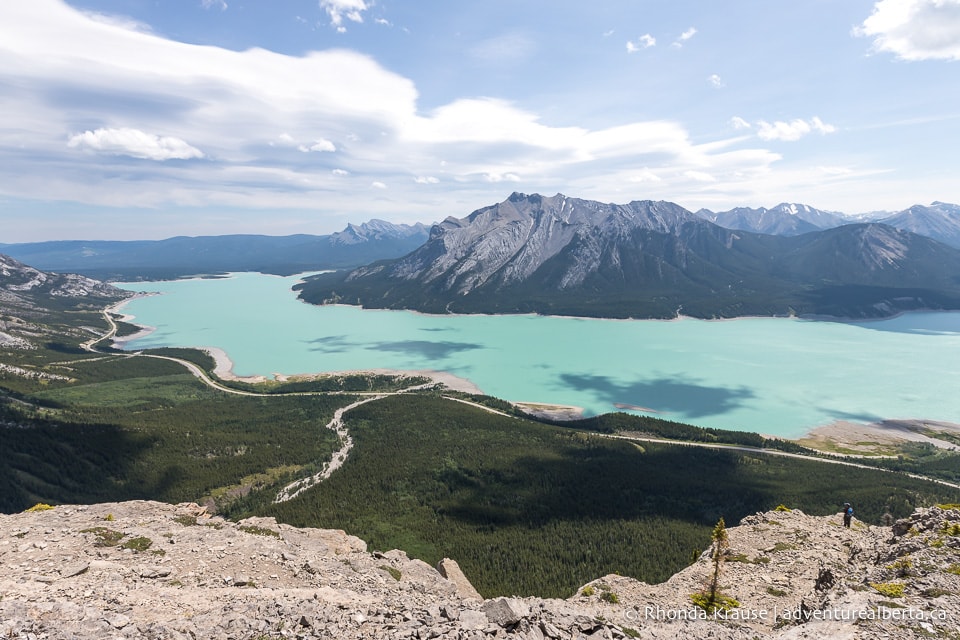
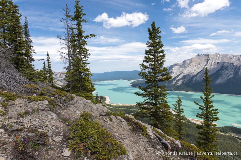
Throughout much of the hike there are fantastic views of Abraham Lake down in the valley, especially if you choose to walk on the right side, closest to the lake. The views are part of the reason why this hike can take so long- when you’re not stopping to catch your breath you’ll be stopping to admire the scenery!
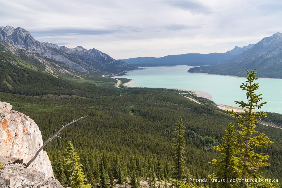
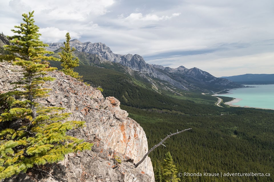
Just shy of 1 km into the hike you’ll come to the first major point of interest on the trail- the vision quest site. It’s said that the Stoney Nakoda First Nation people would come here for vision quests, a spiritual experience that connects one with nature and the Creator.
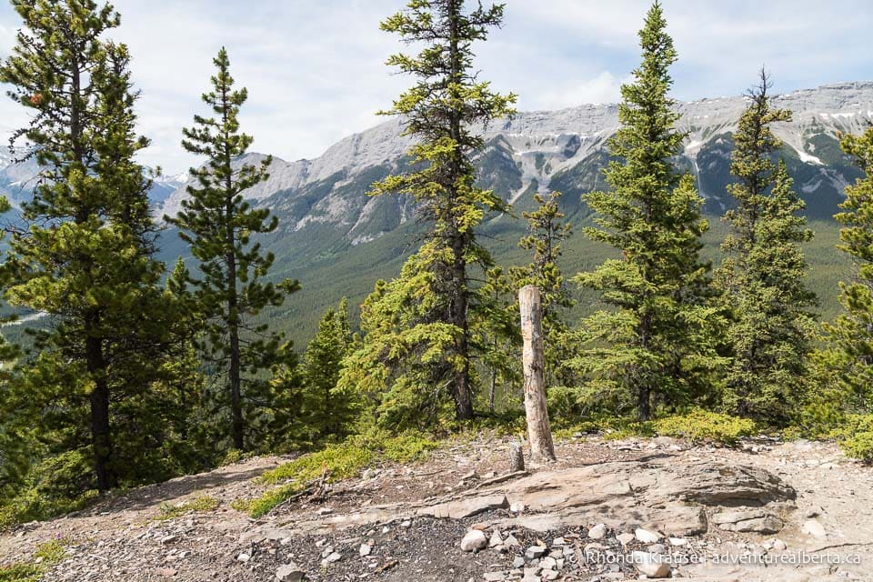
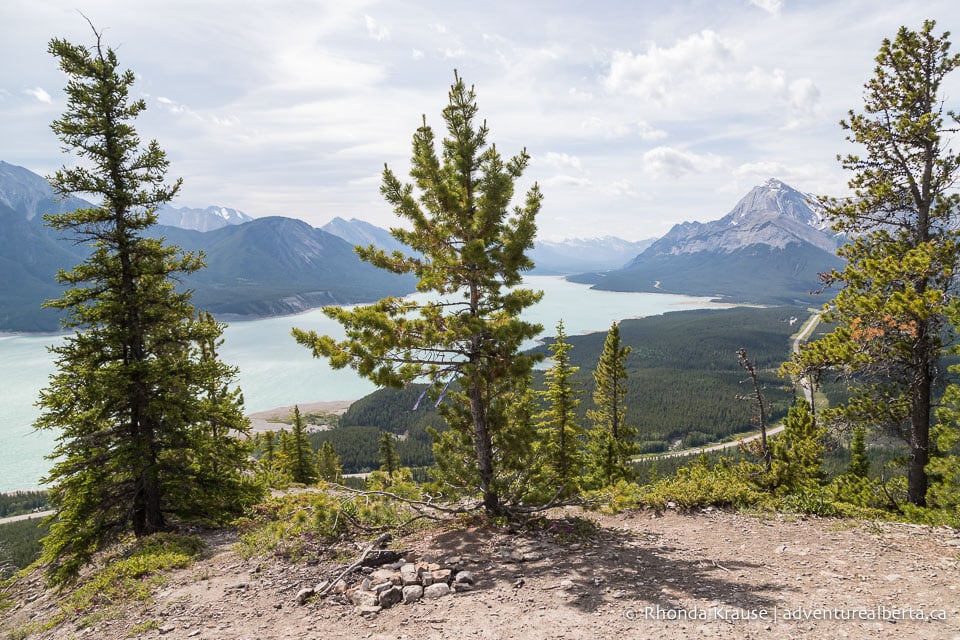
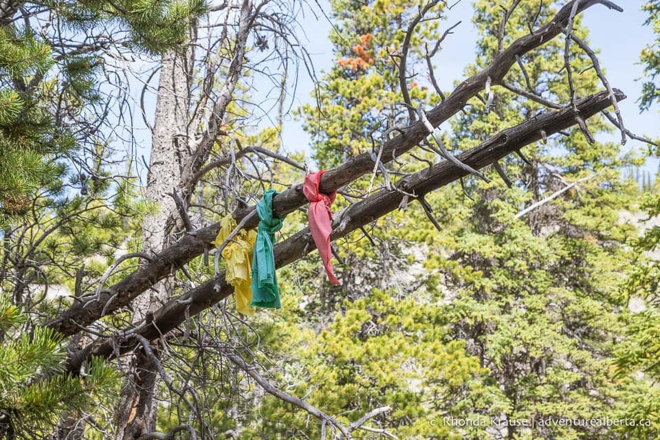
People have hung fabric from the trees and set up fire pits in the area, so you’ll know the vision quest site when you come to it. It’s also the first of only two flat viewpoints on the trail, so is a perfect place to sit and enjoy views of Abraham Lake.
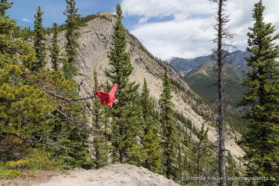
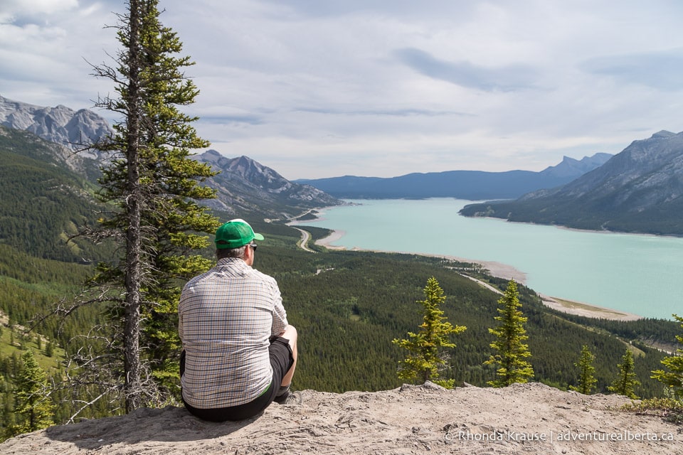
From the vision quest site you’ll be able to see a steep, tree-covered ridge leading up to a peak. That’s where you’ll be hiking to next. From here it appears as though that could be the end of the hike, but it’s actually a false summit.
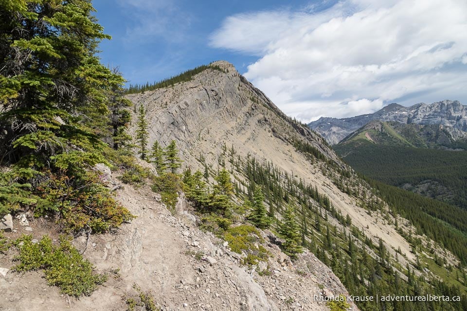
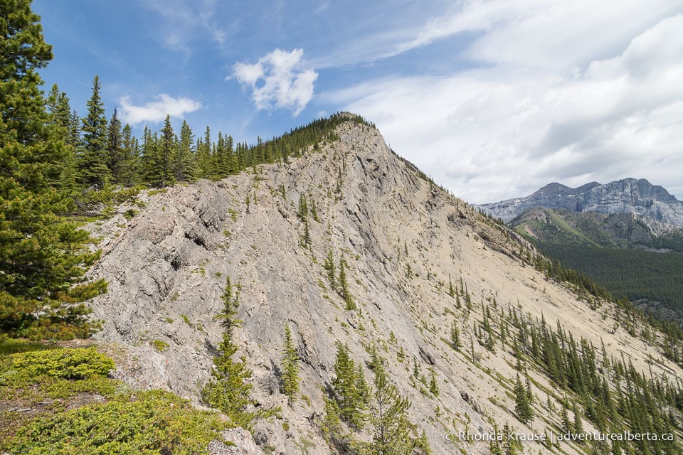
When you’re ready to leave the vision quest site, there are two possible trails. Both go to the same place but the one on the right passes under a branch with colourful fabric tied to it and keeps closer to the lake views.
Much like before, you’ll be hiking on rock and rapidly gaining elevation, with no switchbacks in sight. Abraham Lake continues to mesmerize, even though the view doesn’t change much the higher you get.
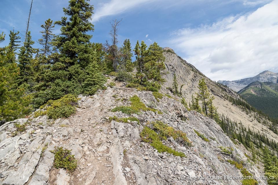
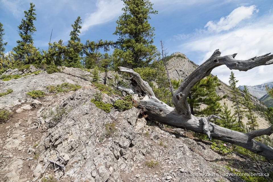
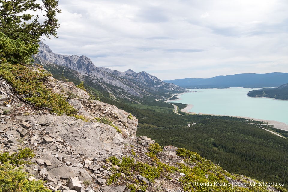
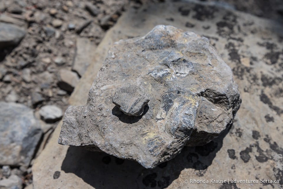
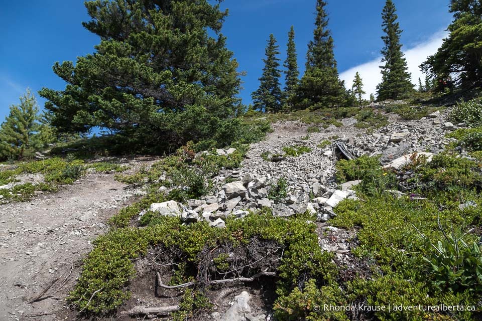
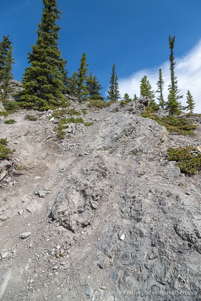
At times there is a well-trodden path to follow but in some places the trail is lost in a sea of rock. As you hike, keep an eye out for fossils that are embedded in the stones.
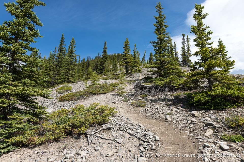
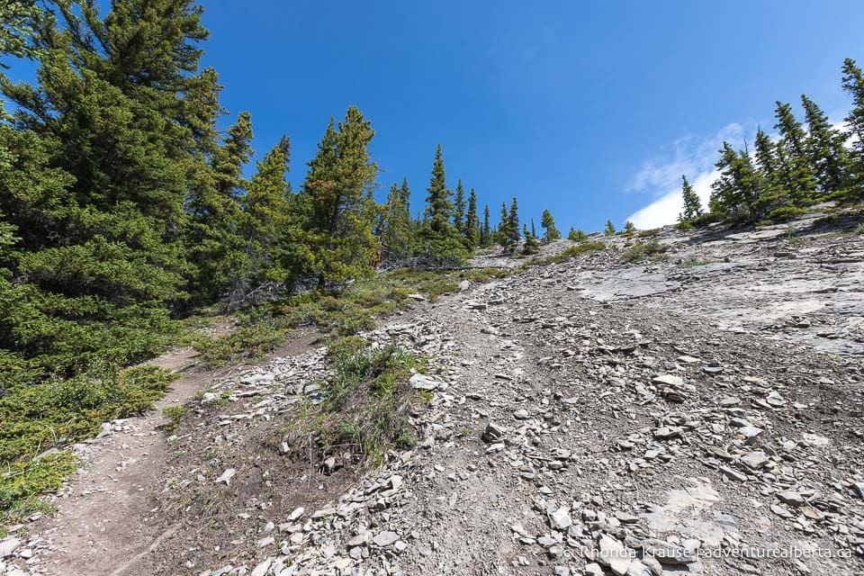
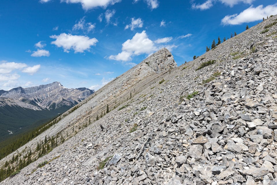
On and on you’ll climb and the closer you get to the tree line, the rockier the terrain becomes. Soon the slope is almost completely covered in scree.
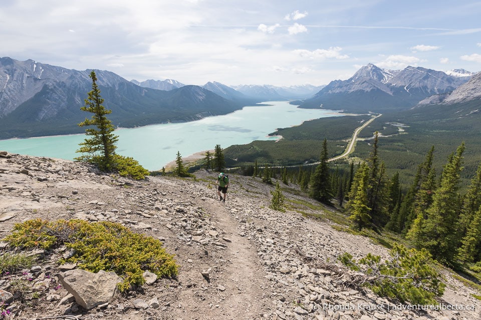
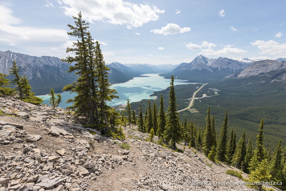
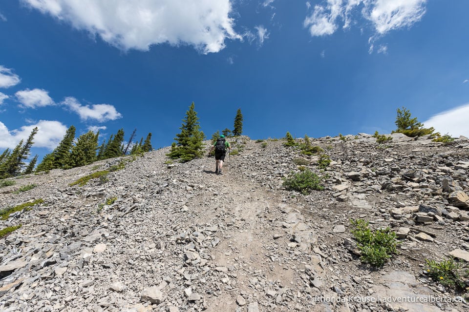
Even though the constant climb is physically strenuous, the incredible panoramic views serve as a distraction from the demands of this hike.
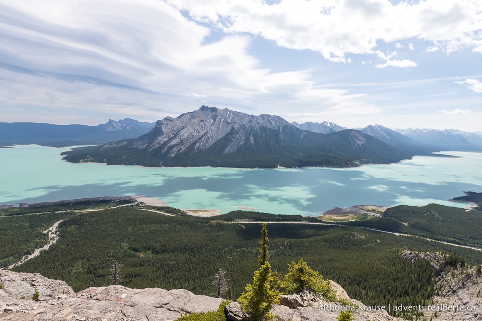
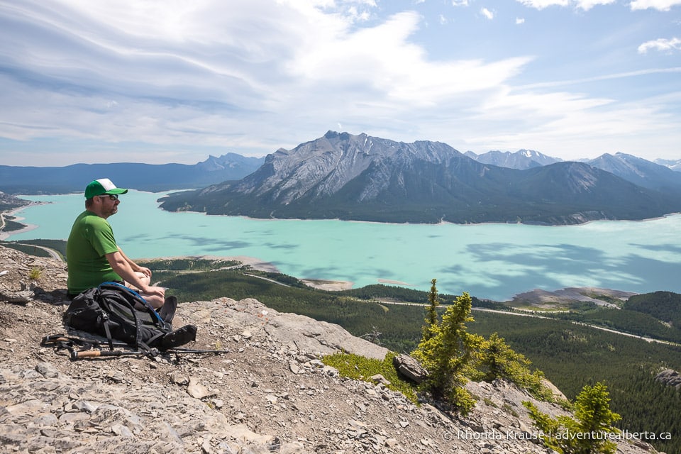
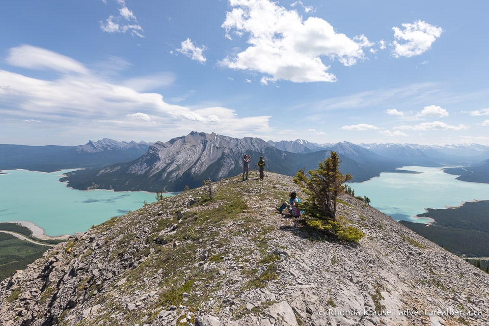
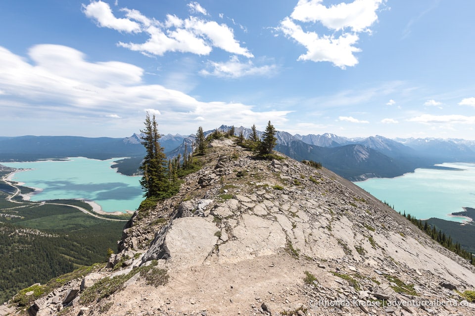
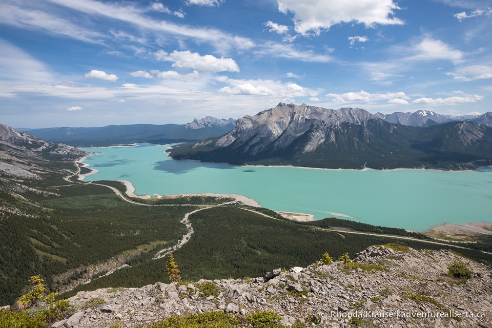
After 2 km of hiking and some deceiving false summits, you’ll finally reach the first real summit (and some level ground). The reward is a beautiful view of Mount Michener framed by Abraham Lake to the east, and the second summit of Vision Quest Ridge to the west.
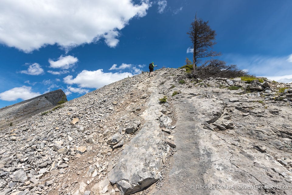
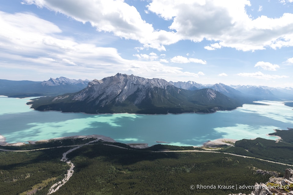
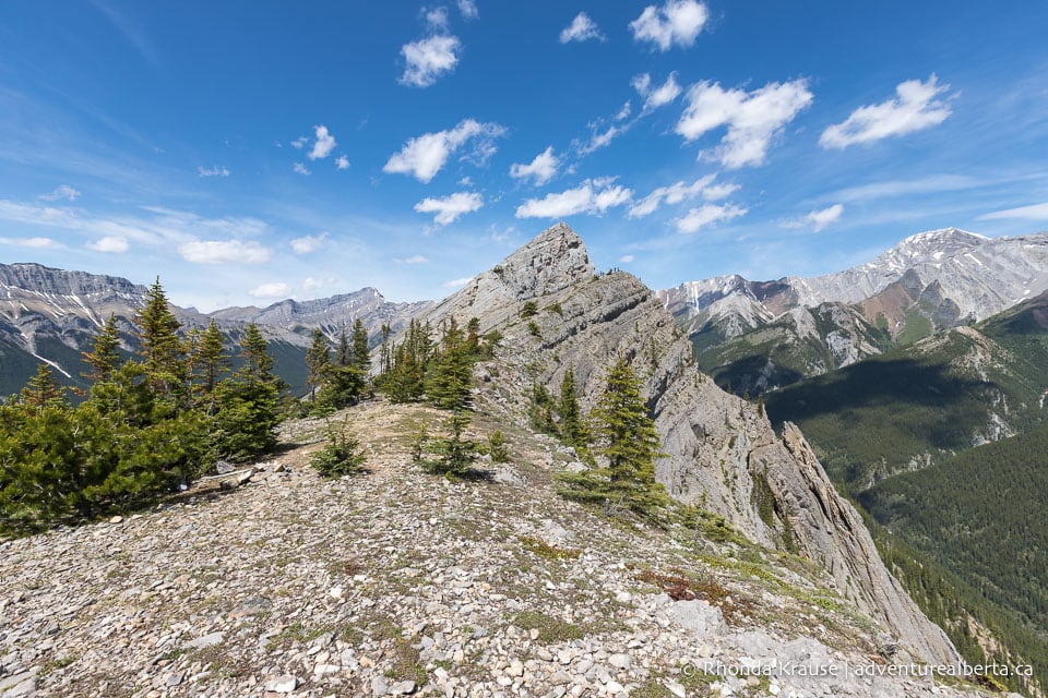
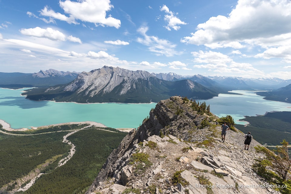
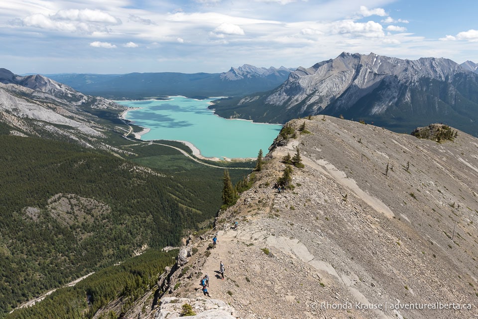
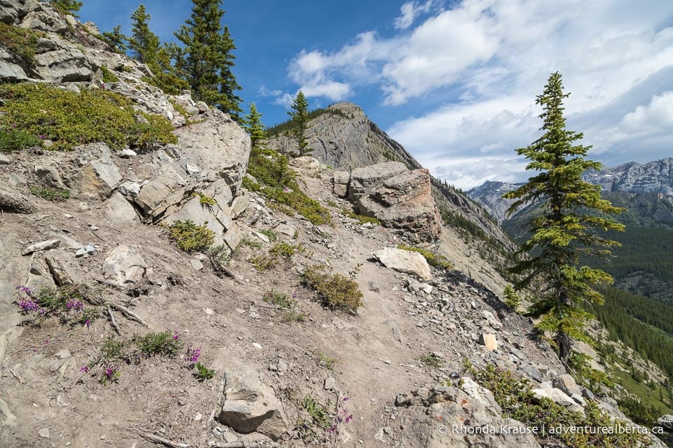
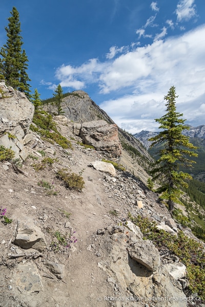
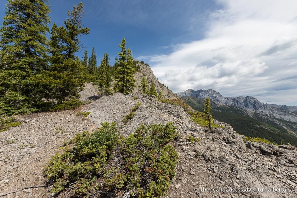
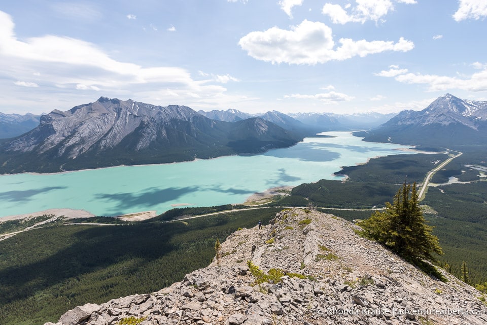
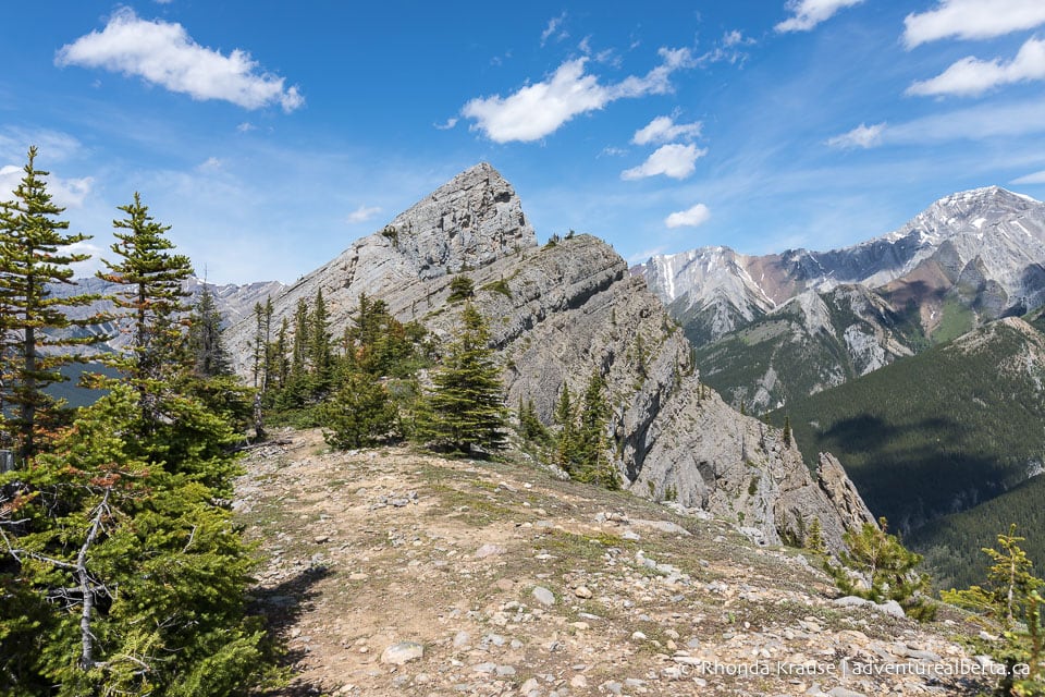
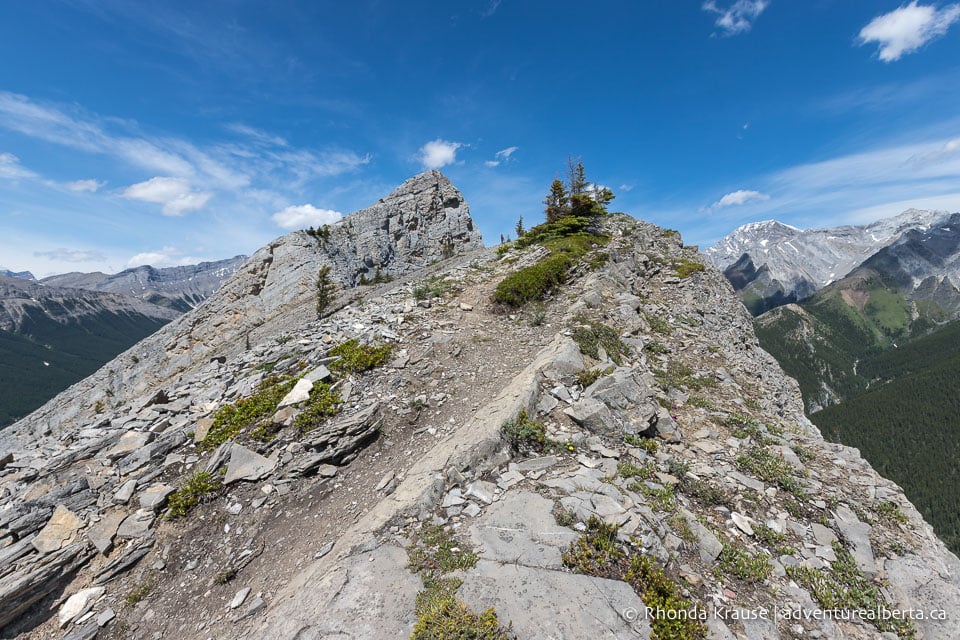
Some people choose to end their hike at this point, but it’s worth carrying on another 300 m or so across the ridgeline to the base of the second summit. There will be a flat section followed by a short incline up a rocky slope before levelling out again.
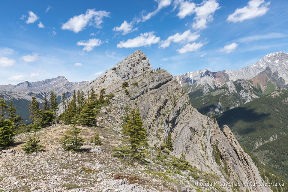
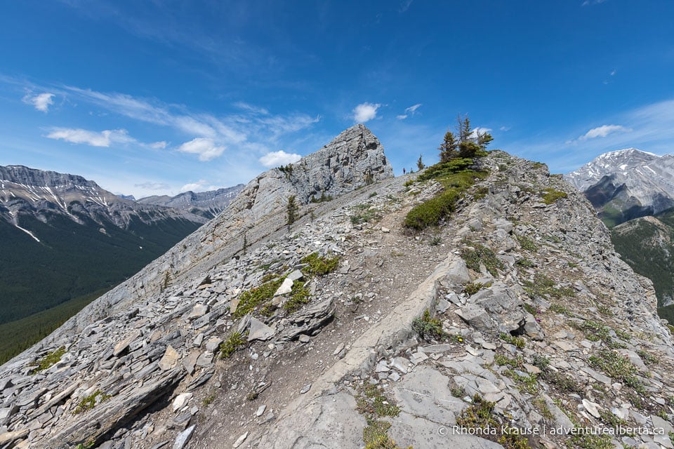
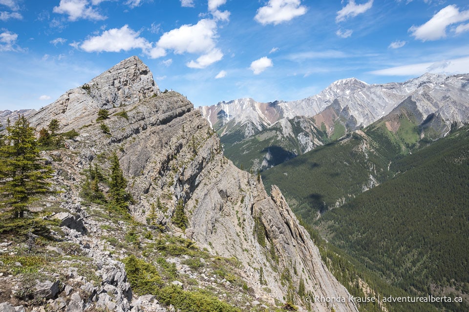
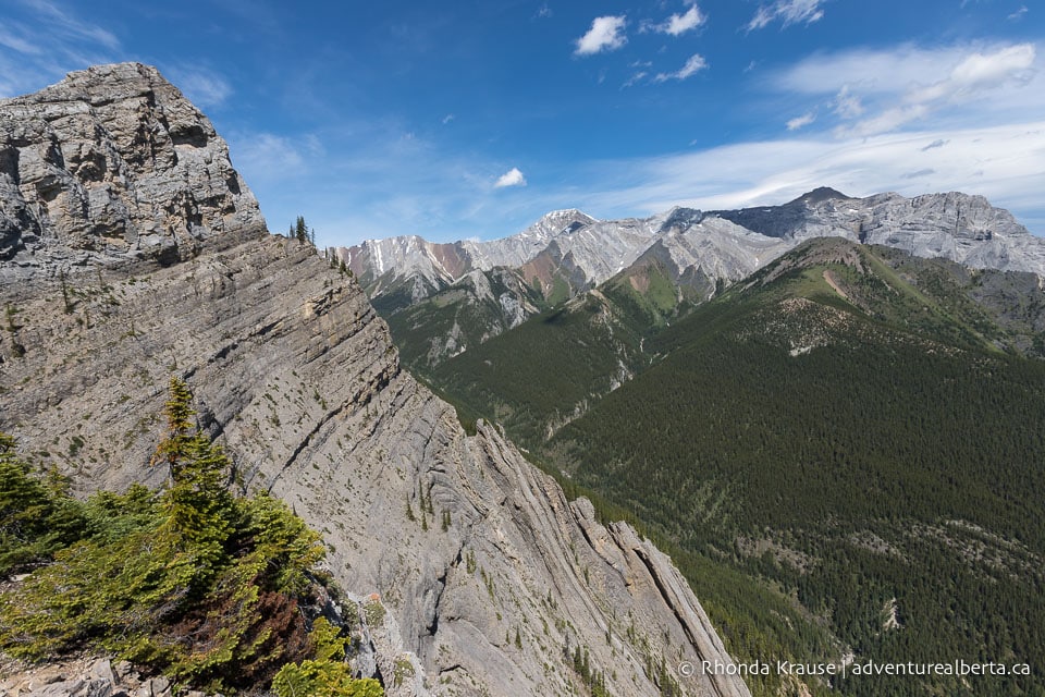
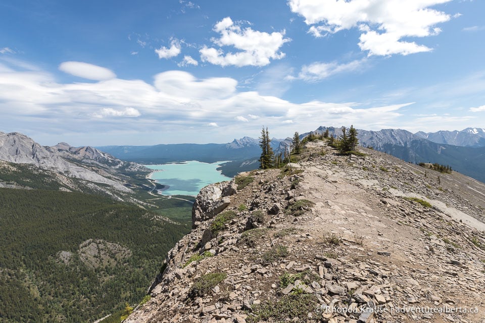
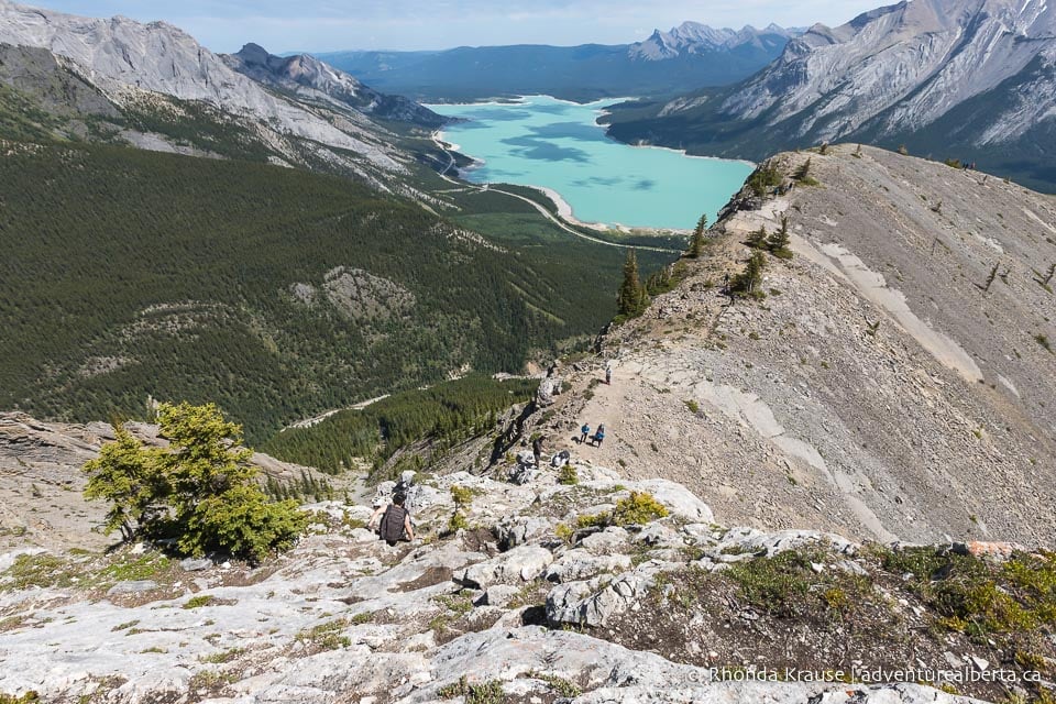
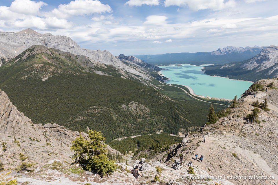
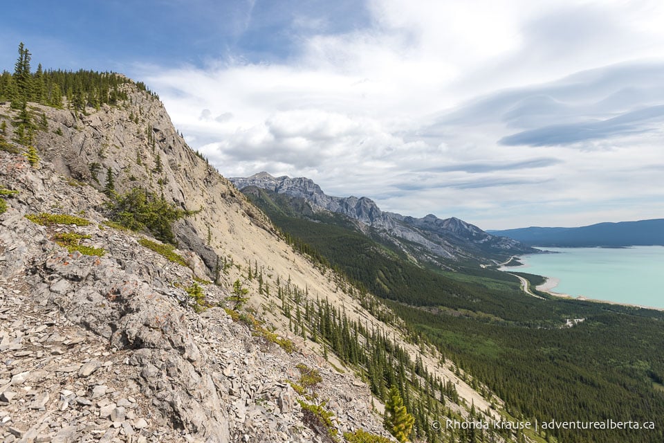
The views are impressive from the ridge as you can look down the mountainside, across a valley, and back at Abraham Lake. As you get closer to the second summit, a serrated edge of rock below the peak comes into view.
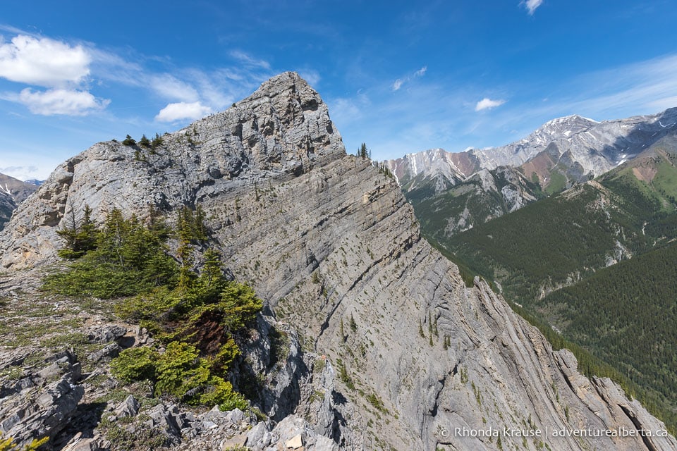
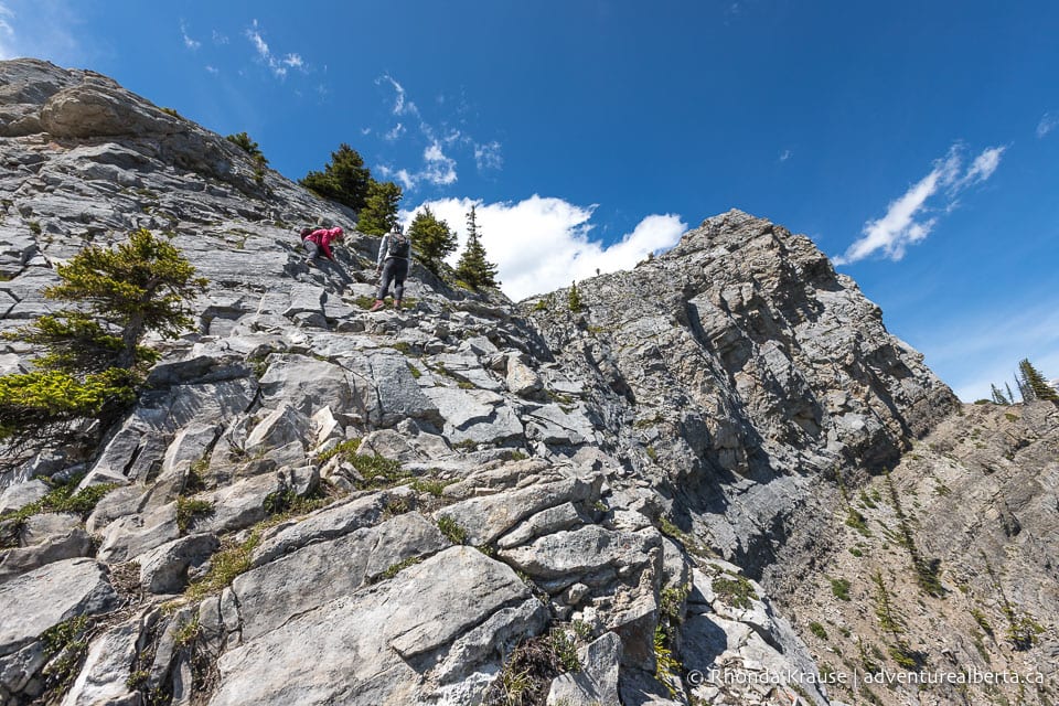
The base of the second summit is the end of the Vision Quest hike for most people, as to go beyond that involves using your hands to scramble up a wall of rock. If you decide to attempt the climb, make sure it’s within your skill set and comfort level. There’s absolutely no shame in not going further, as it’s quite the accomplishment to have reached the ridgeline.
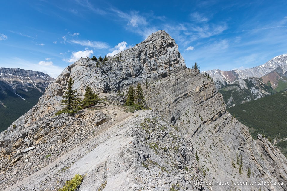
As for the scramble section, it has two segments- the first is a shorter climb to a small plateau, the second is a longer climb to the pointy summit.
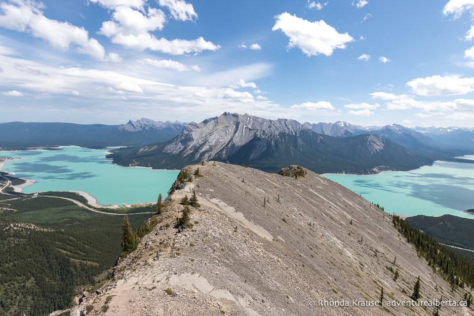
From the top of the first scramble there are similar views to what you can see at the bottom- Abraham Lake, Mount Michener, and the surrounding peaks. The main difference is that you get a bird’s eye view of the narrow Vision Quest Ridge and its steep angle.
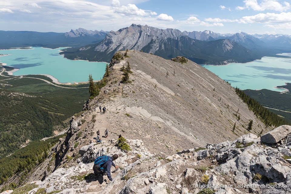
The second scramble section looks more intimidating and a lot of people that do the first scramble choose not to continue up to the peak. It can get really windy on the ridge, so that’s something to take into account before deciding to reach the summit.
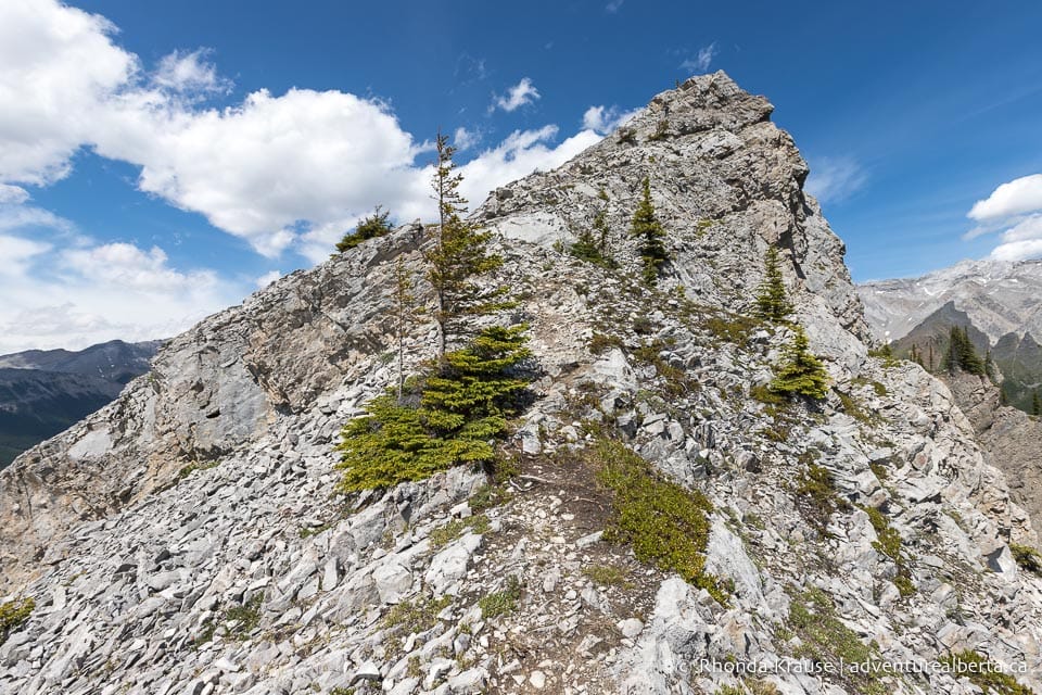
No matter where along Vision Quest Ridge you choose to end your hike, you will have been rewarded with stunning views of Abraham Lake and the Rocky Mountains.
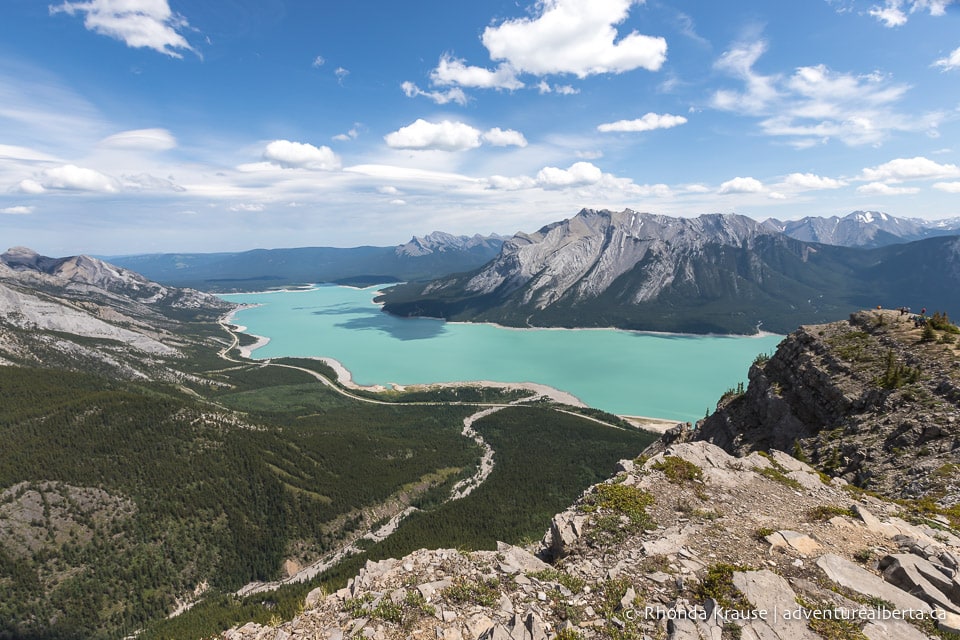
To get back to the trailhead you will return the same way you hiked up, once again choosing the path of least resistance over the scree. Even though going down is less physically strenuous, it’s still very difficult because of the loose rock. You have to carefully choose your route and pay attention to your footing so you don’t slip. Trekking poles are an asset here.
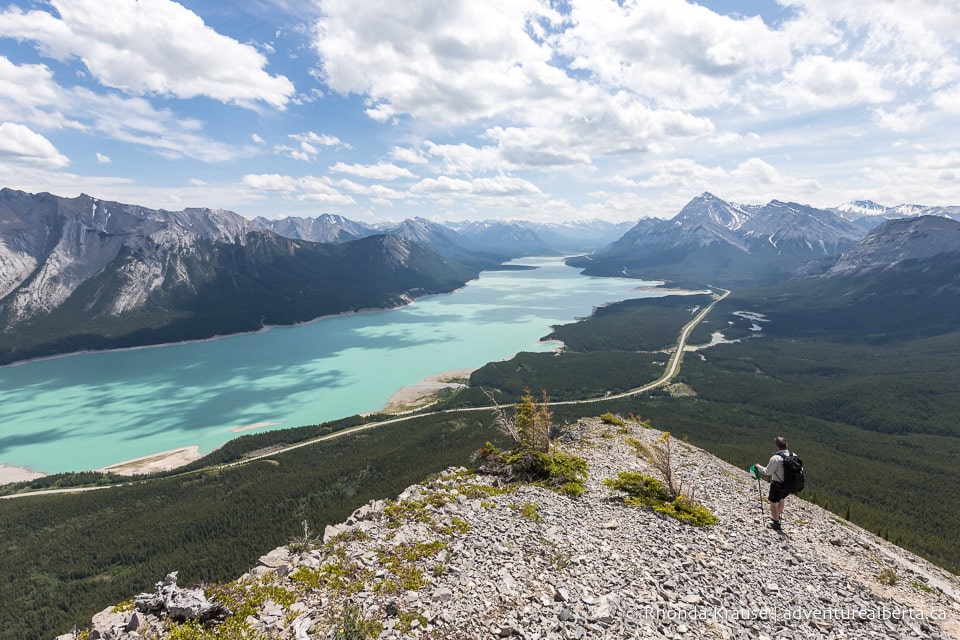
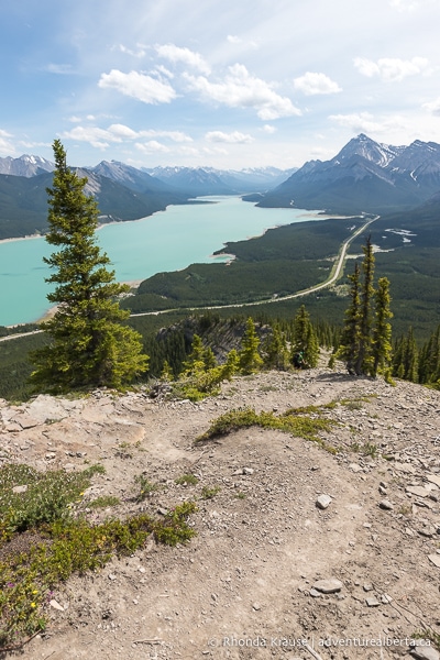
The best part about a slow and steady descent is more time to take in the scenery. The views of Abraham Lake never get old, especially since the colour changes with different lighting conditions.
Review of the Vision Quest Hike
Vision Quest is one of the most difficult, yet rewarding hikes near Nordegg. You really have to work every single step, but the payoff is incredible views almost the entire way through (not just at the summit).
Since there’s not always one defined trail to take, choosing your own route makes this hike feel more adventurous than other challenging, steep hikes in the area (Allstones Lake Trail comes to mind).
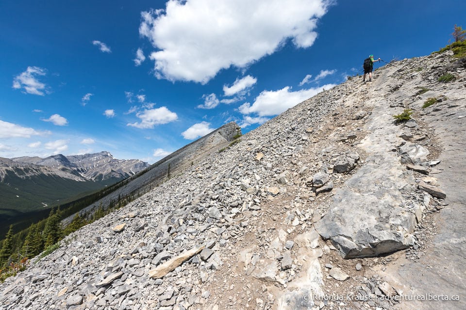
Even though there are no official waymarks on the hike up Vision Quest Ridge, it would be really hard to get lost as long as you stay on the ridge going up and coming down, keeping the lake at your side. Still, it is reassuring to have a map downloaded on your phone for offline use.
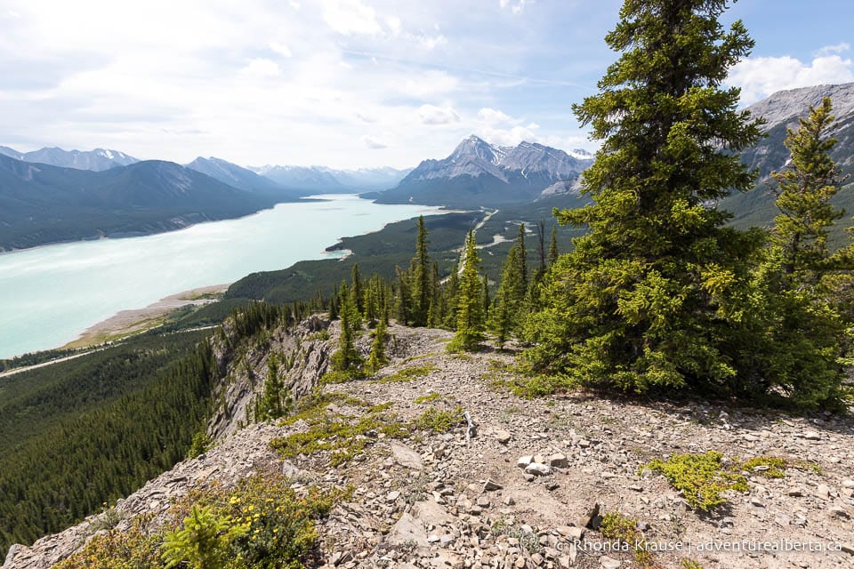
Vision Quest may not be for everyone, but if you’re up for a challenge and want to see unforgettable views of Abraham Lake, then Vision Quest is a worthwhile hike.
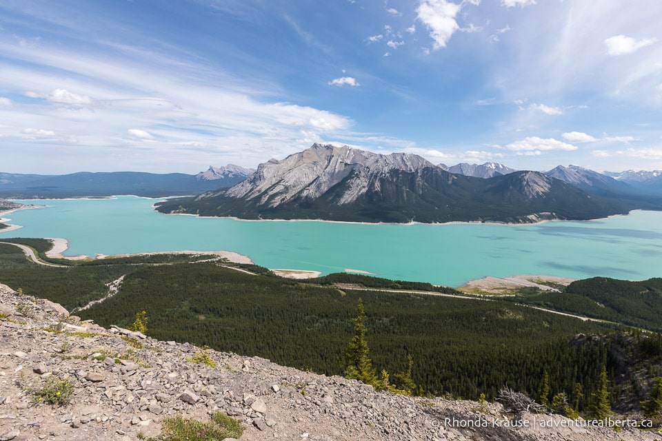
Pictures of the Vision Quest Hike
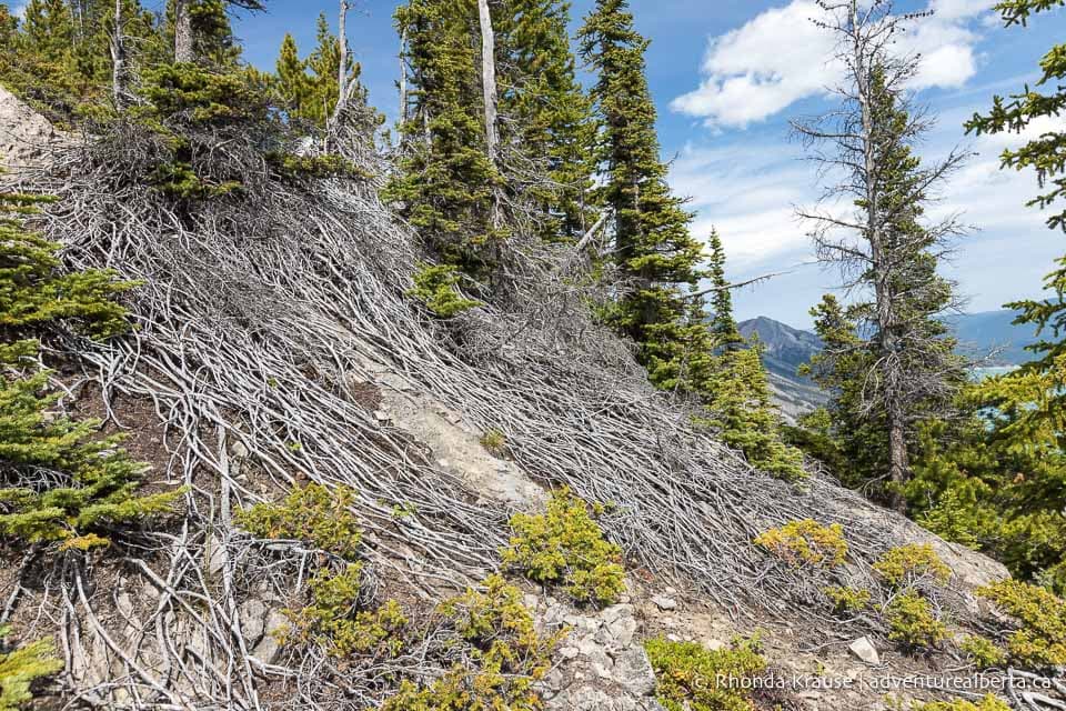
Here are some more photos taken while hiking Vision Quest Ridge so you can get a better idea of what to expect on the hike.
Tips for Hiking Vision Quest Ridge
Location: Vision Quest Ridge is located in Clearwater County in west central Alberta. The staging area is about 45 km southwest of Nordegg near Abraham Lake.
Getting to the Vision Quest Trailhead: Once on Highway 11 (the David Thompson Highway), drive along Abraham Lake until the turnoff to the Cline Waste Transfer Station. From here it’s a short drive to the trailhead at the end of the road.
- To make sure you don’t miss the turn off Highway 11, put “Vision Quest” into Google Maps for directions.
- The parking lot is small so you may have to park on the side of the road.
Best Time to Hike Vision Quest: The Vision Quest hike is best done from May to October.
Facilities: None (no outhouses at the trailhead).
Visitor Guidelines and Safety: Always hike within your limits and don’t get too close to cliff edges.
- It’s a good idea to hike with a friend or in a group since there is a higher chance of injury on this trail due to the loose rock. This is a popular hike, but it’s best not to assume that other people will be around to help if you need it.
- Vision Quest Ridge is mostly exposed to the elements so dress for the weather and wear sun protection.
- This hike is in bear country so bring bear spray.
- Leave no trace by packing out all your garbage.
Gear and What to Bring: Sturdy hiking shoes with ankle support are necessary because of the trail’s steepness and rocky, uneven terrain. Trekking poles are also recommended for support and to take stress off your knees.
- The grade of this trail can cause blisters on your feet and bruise your toenails so wear/bring moleskin, some sort of blister treatment, and cut your nails short so they’re not pushing against the end of your shoes.
- A small first aid kit with bandages is good to have in case you slip and fall on the rock.
- Bring snacks and a lunch to enjoy at the summit. This hike requires a lot of calories!
- Bring plenty of water (there’s nowhere to fill up during the hike).
- It can get windy at the top of the ridge, so a small windbreaker can make you more comfortable. Also bring sun protection.
Nearby Hikes and Places to Visit
You may also enjoy these nearby trails and places to visit:
Shop for Vision Quest Merchandise
Visit our store for more Alberta, nature, and adventure inspired products.


