Purchases made through links earn us a small commission, at no extra cost to you.
Coliseum Mountain Trail is one of the top Nordegg hikes thanks to its close proximity to town and the moderate effort required to reach the summit “cap”. It’s also one of the closest mountain hikes to Edmonton.
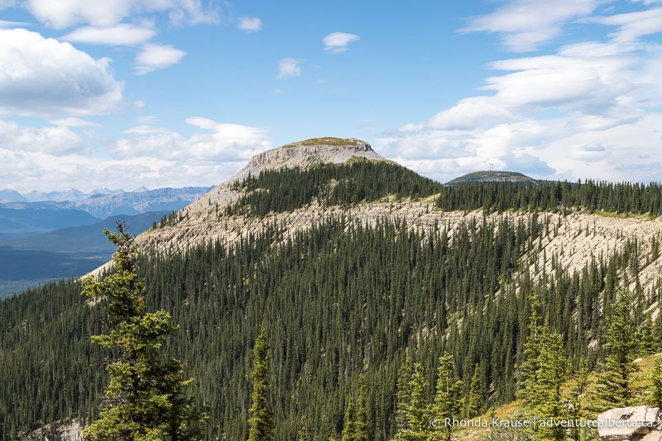
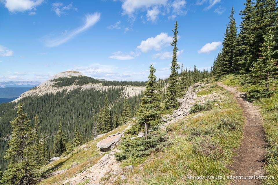
After climbing through the forest on a series of well-graded switchbacks, the trail traverses a scenic curving ridge on route to the cap at the north end of the mountain. The cap of Coliseum Mountain offers 360° views of the forested wilderness surrounding Nordegg and the distant Rocky Mountains.
If you’re looking for a moderate mountain hike that can be summited on a day trip from Edmonton, then Coliseum Mountain Trail is your best option.
Coliseum Mountain Hike
Distance: 14.2 km round trip
Difficulty: Moderate
Elevation Gain: 676 m
Surface: Dirt, rocks, and roots
Trail Type: Out and Back (there is an option to complete as a loop but it’s way steeper and requires some scrambling)
Time: 4.5- 5.5 hrs
Trailhead: Coliseum Trail Staging Area parking lot at the end of Eagle Drive in Nordegg.
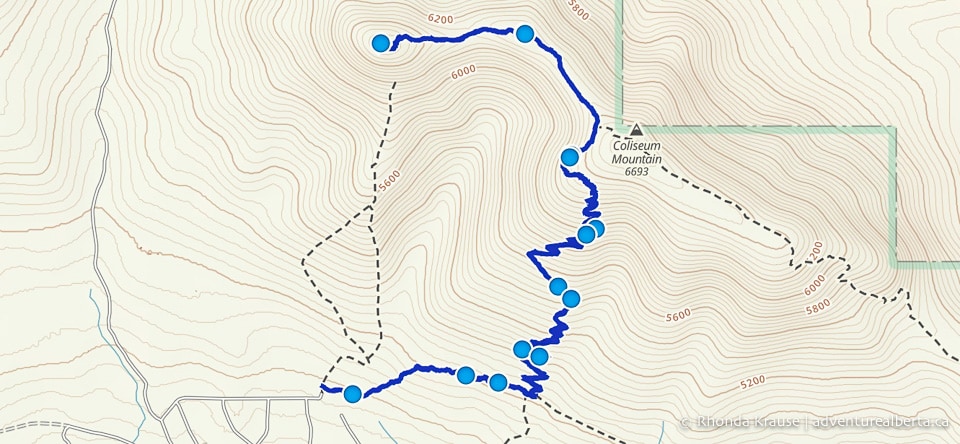
Coliseum Mountain Trail Description
The Coliseum Mountain hike starts from the east side of the parking lot at the staging area. You’ll see an information board and behind that is the signed trailhead.
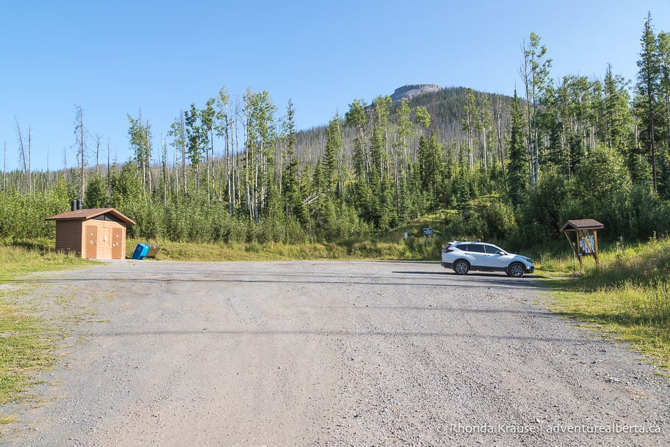
If you’re looking to do this hike as a loop, a more difficult but direct way to the cap of Coliseum Mountain starts from the north end of the parking lot on a trail marked Westview. Only take the Westview route if you are comfortable with a steep scramble.
The following trail guide describes the out and back Coliseum Mountain hike.
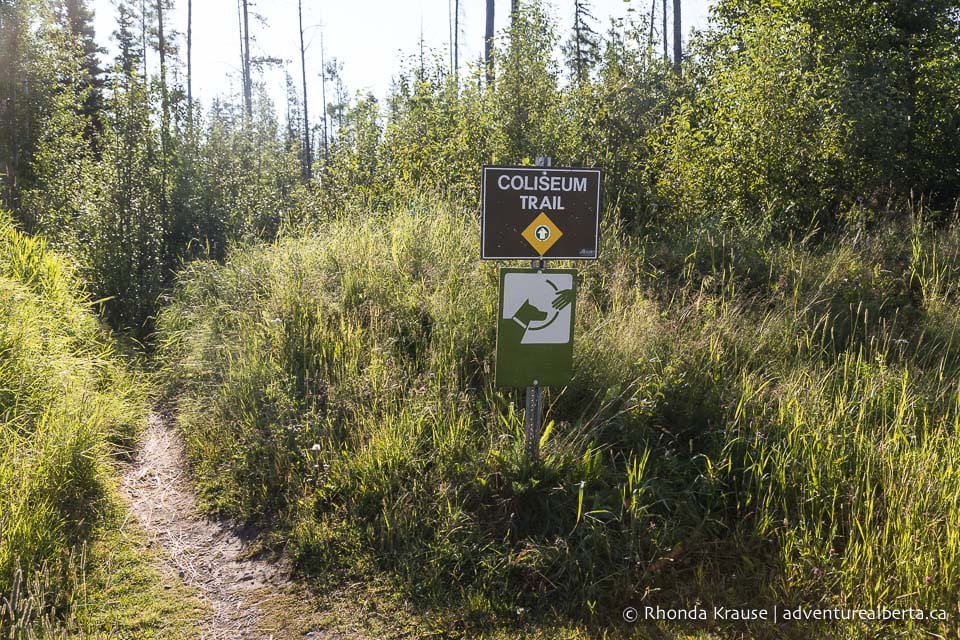
Starting from the parking lot, Coliseum Trail makes its way through an old cutblock then drops down to cross a stream before continuing into the forest.
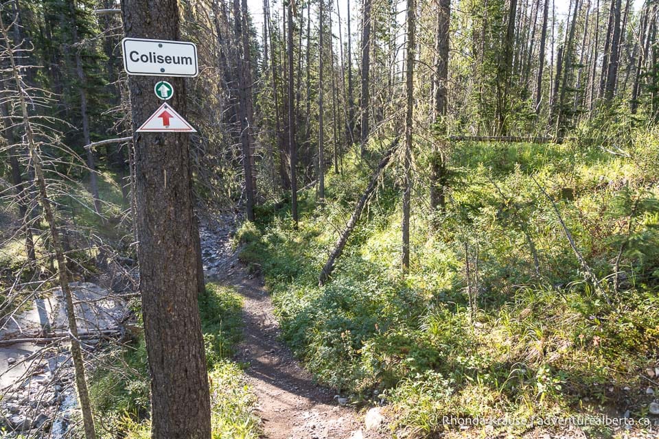
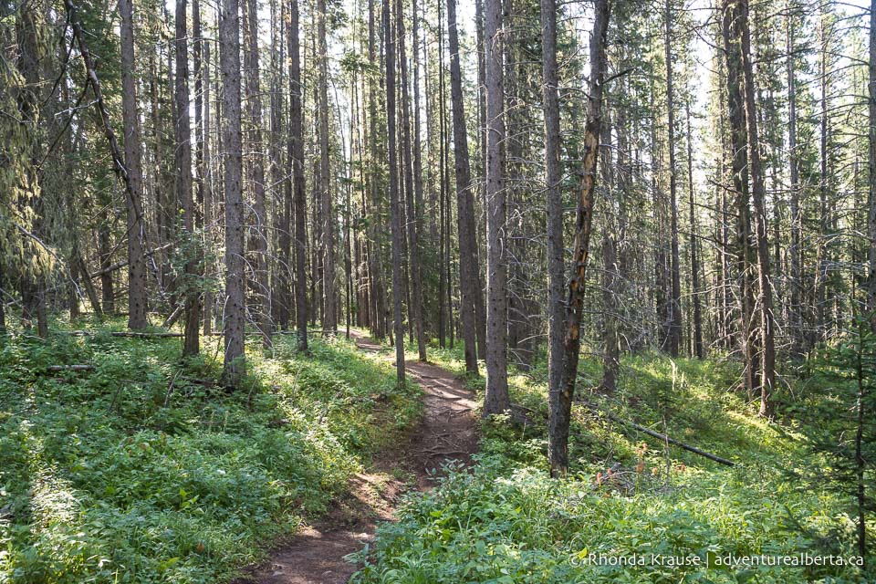
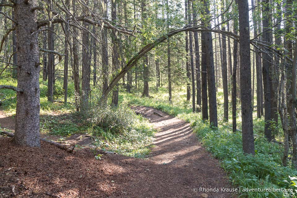
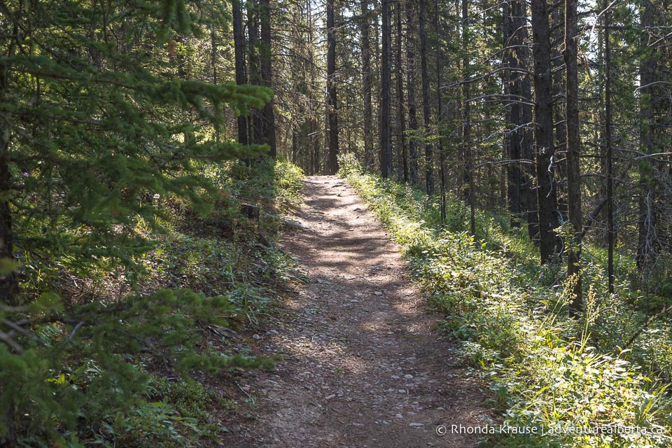
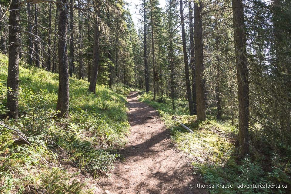
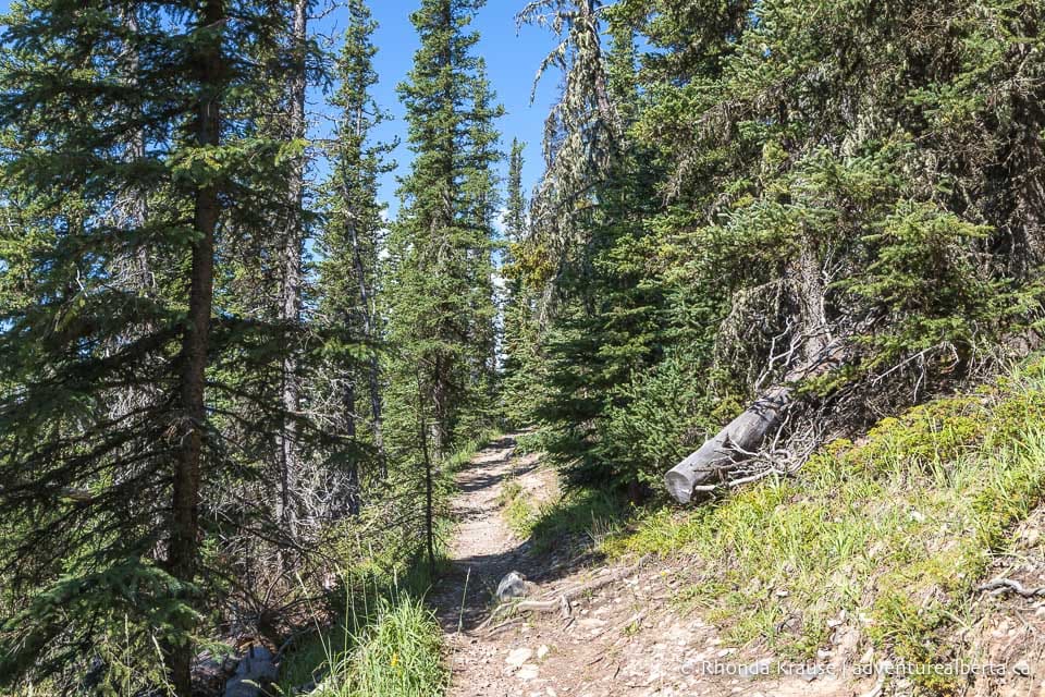
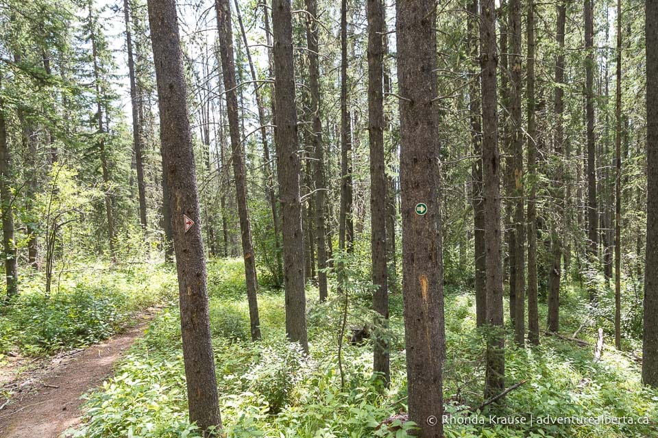
On the other side of the stream the trail begins its ascent through the forest on a series of long switchbacks. It’s a steady climb but nothing that’s too steep.
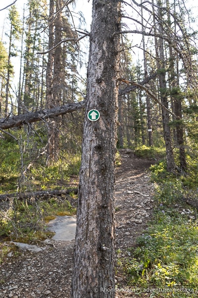
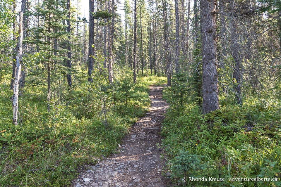
As you make your way through the forest, you’ll start to notice a lot of side trails bisecting the switchbacks. These shortcuts going straight up the hillside can be distracting (and tempting to follow), but have caused a lot of erosion damage so try to stay on the main trail.
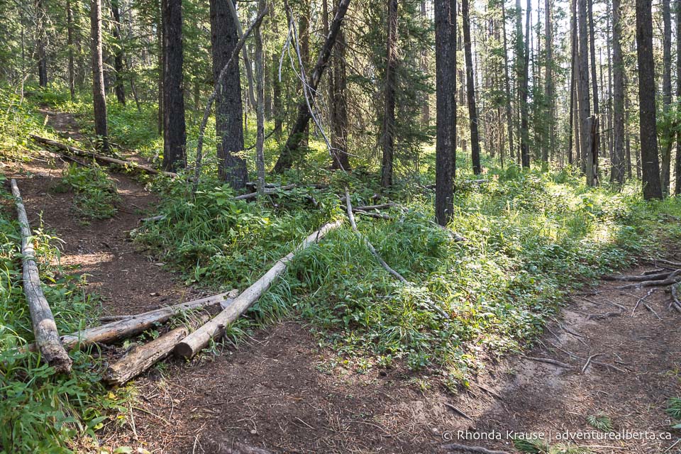
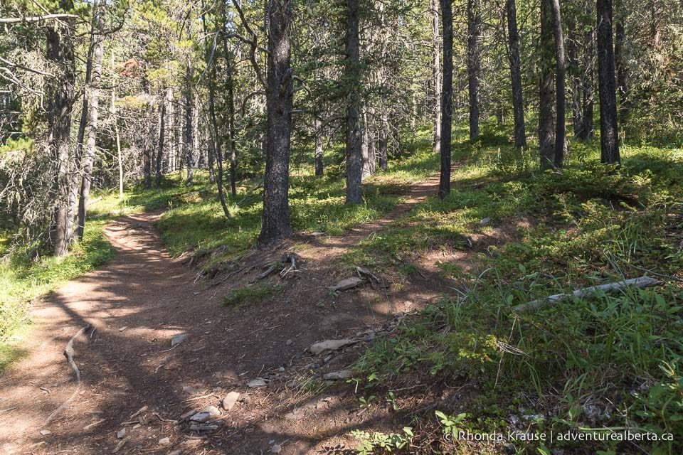
There’s not much to see other than trees for about the first 4 km, but as the trail gets higher up the mountain the views start to open up and you get glimpses of Nordegg down below.
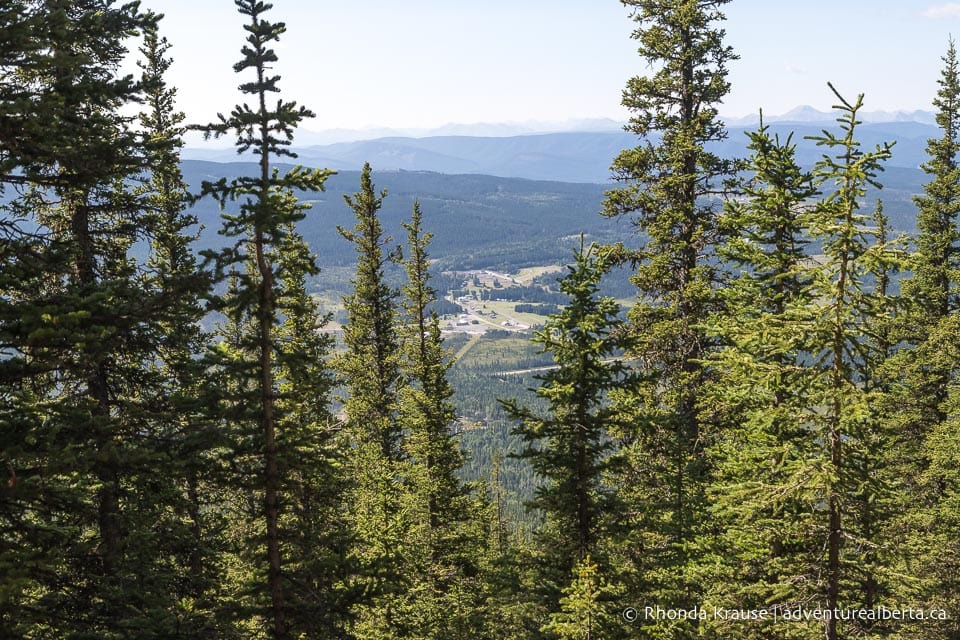
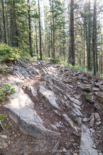
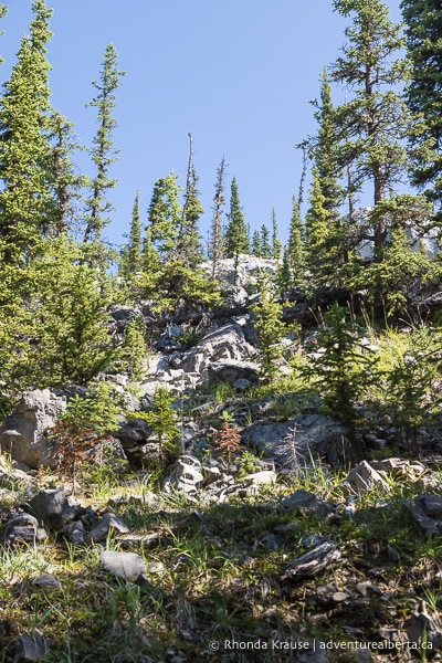
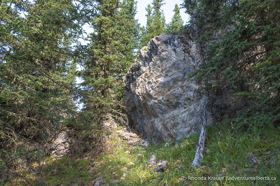
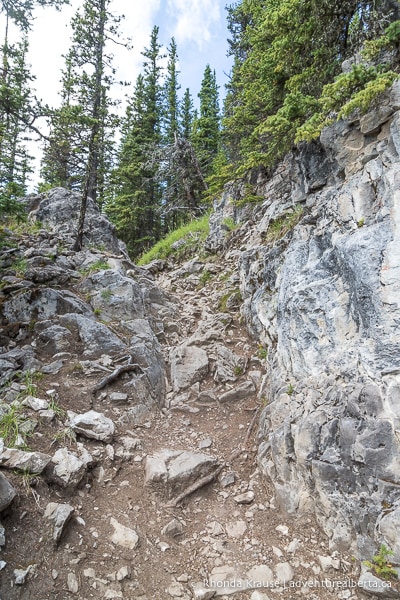
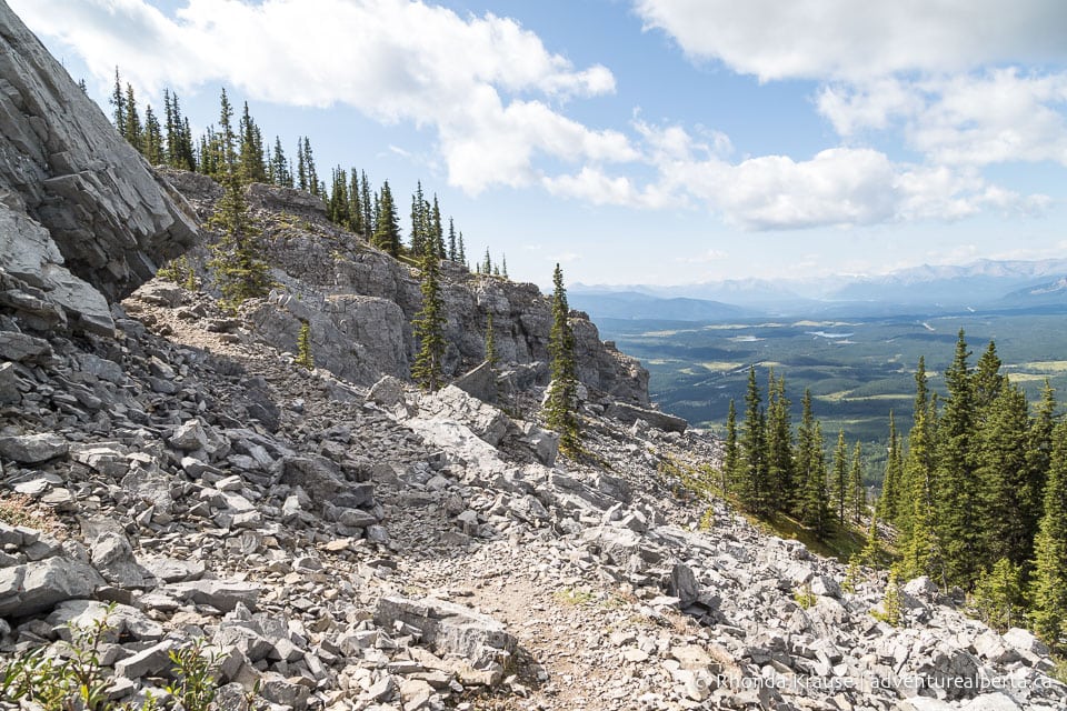
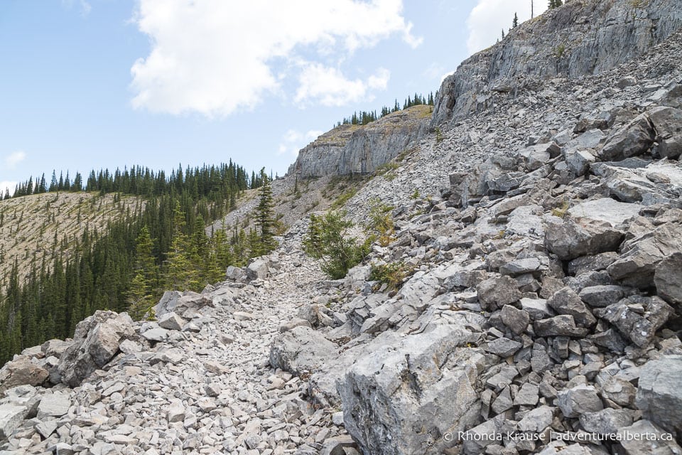
After the 4 km mark the scenery gets more interesting as the trail winds around some boulders and walls of rock. The trail surface gets rough and uneven as it passes through a narrow space between rocks.
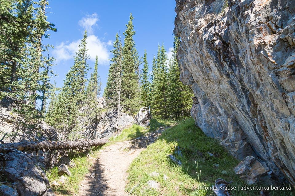
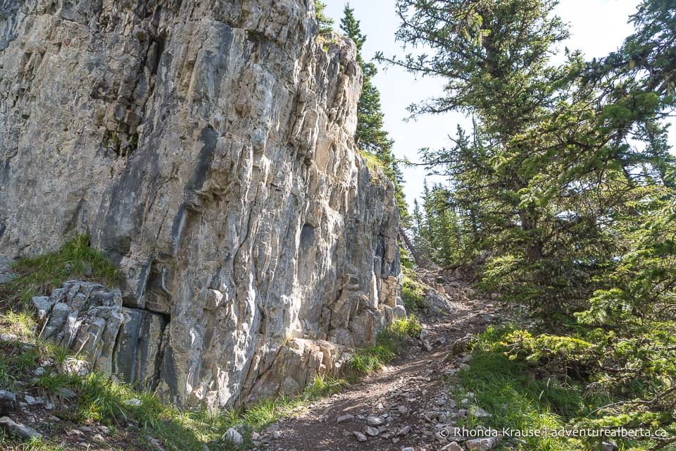
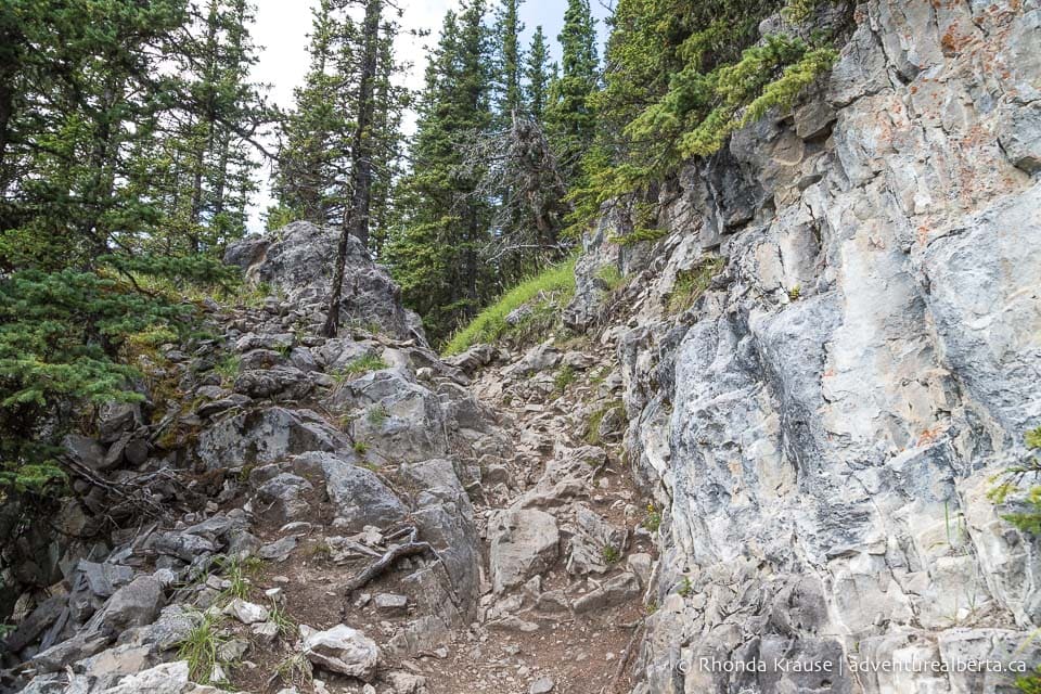
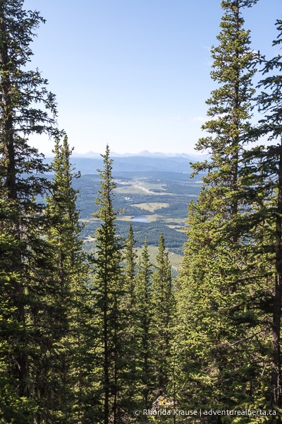
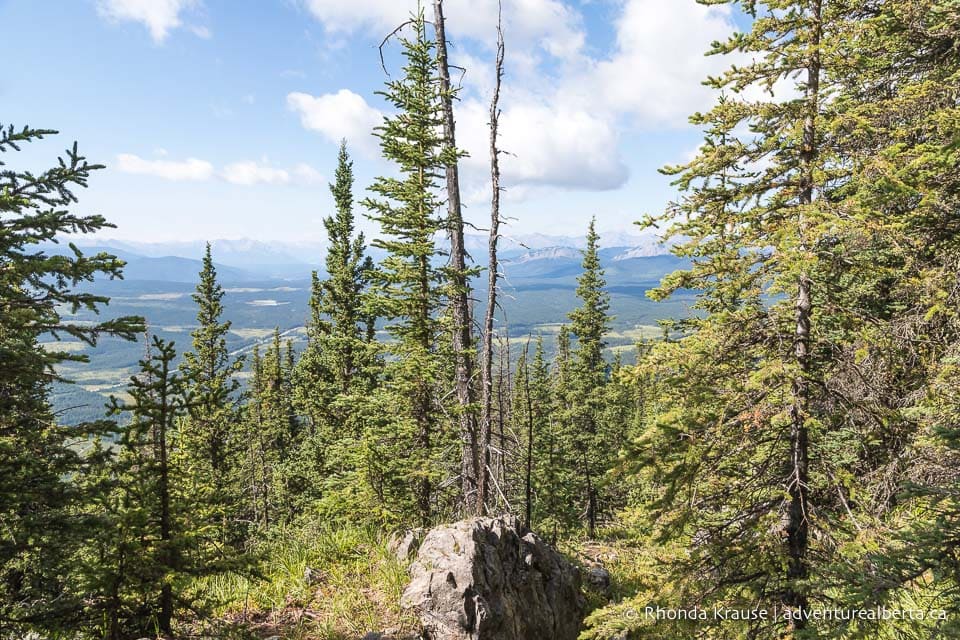
Approaching the end of the switchbacks, more views of the Nordegg area can be enjoyed through breaks in the trees. Even though the views are partially obstructed, it’s a nice teaser of what’s to come.
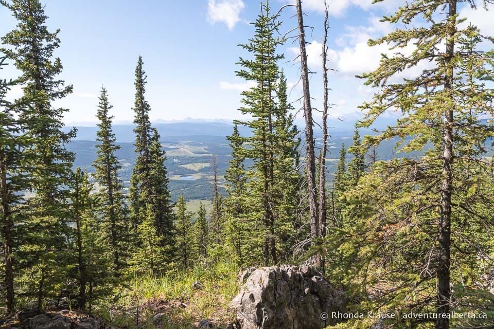
The zigzagging climb up Coliseum Mountain is followed by a walk through a small, sheltered meadow. Depending on the time of year, you may see some pretty wildflowers along the trail.
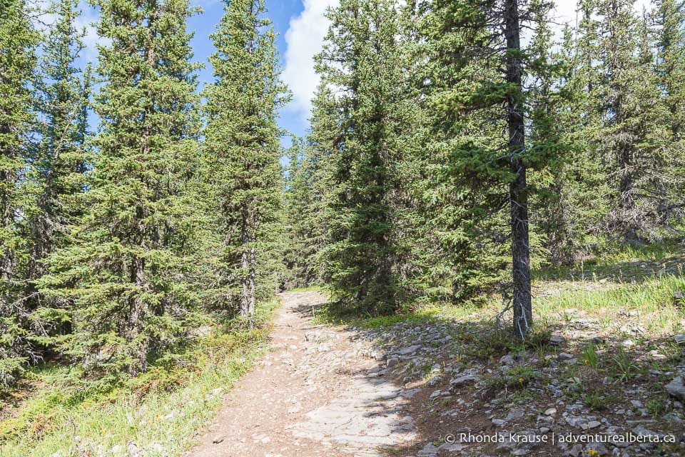

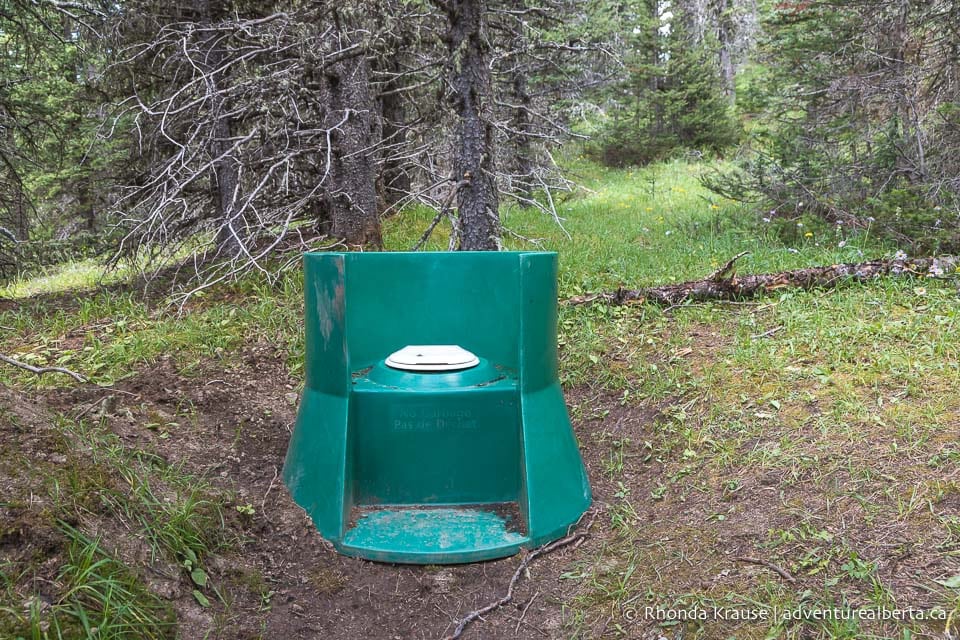
This is a good place to take a break if you’re in need of a “pit stop” because there’s a backcountry toilet a short ways off the main trail. The surrounding trees offer some privacy.
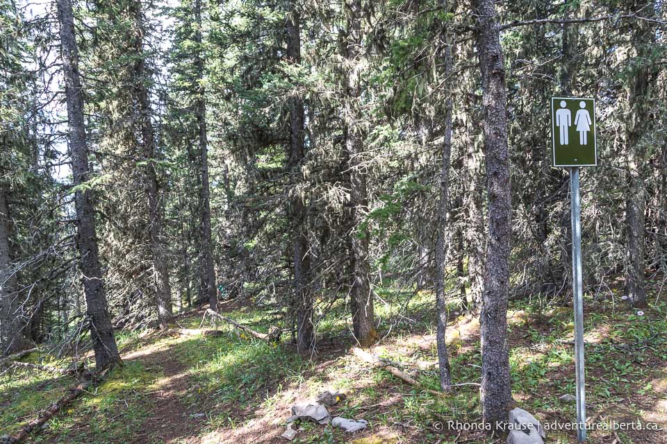
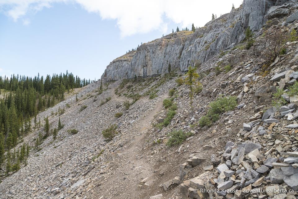
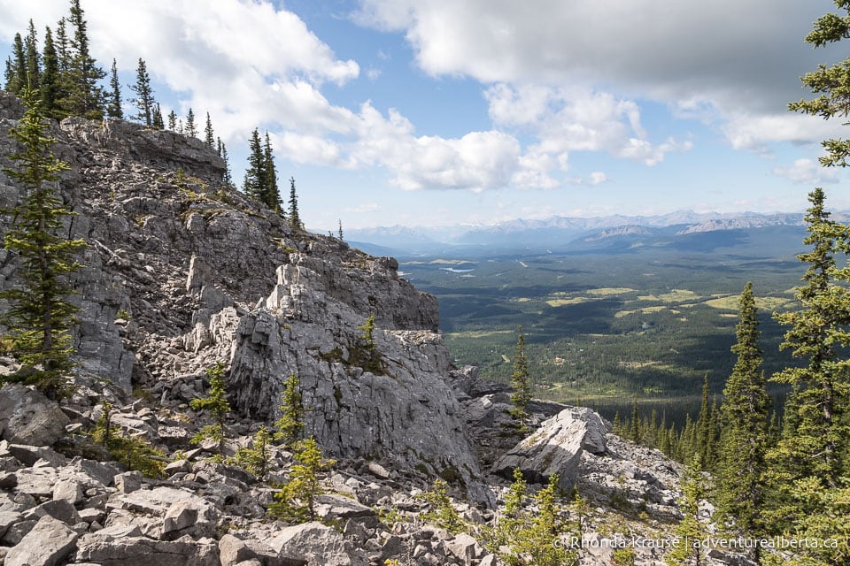
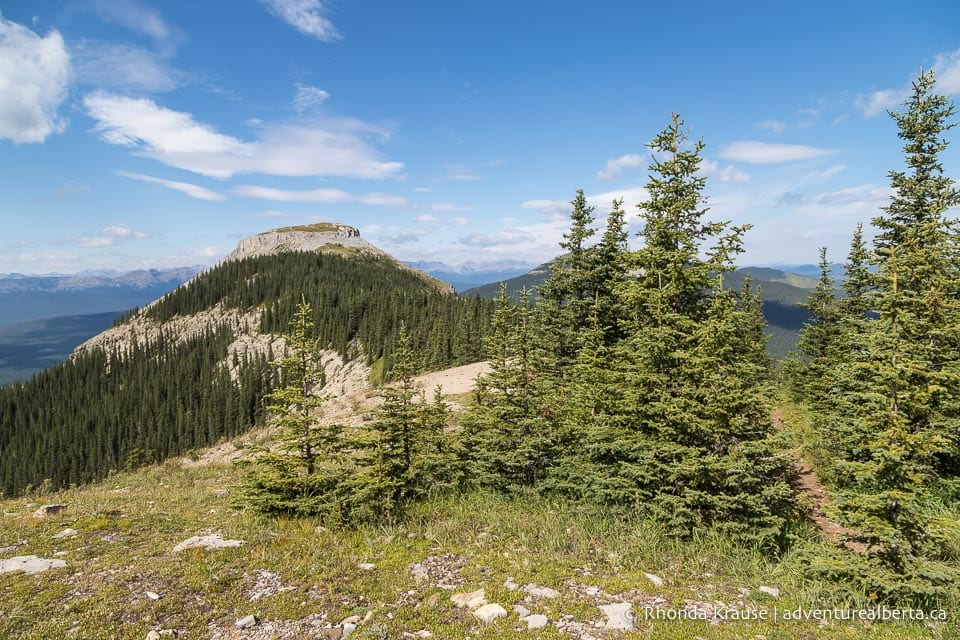
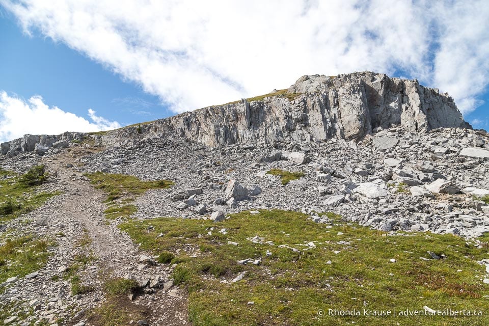
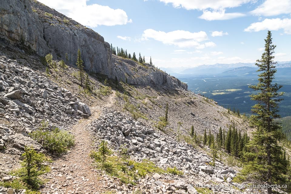
Continuing straight on the trail, you’ll finally exit the forest and get your first view of the distinctive round cap of Coliseum Mountain, the intended destination of this hike. To your left you’ll see a rocky cliff and a mountain range in the distance.
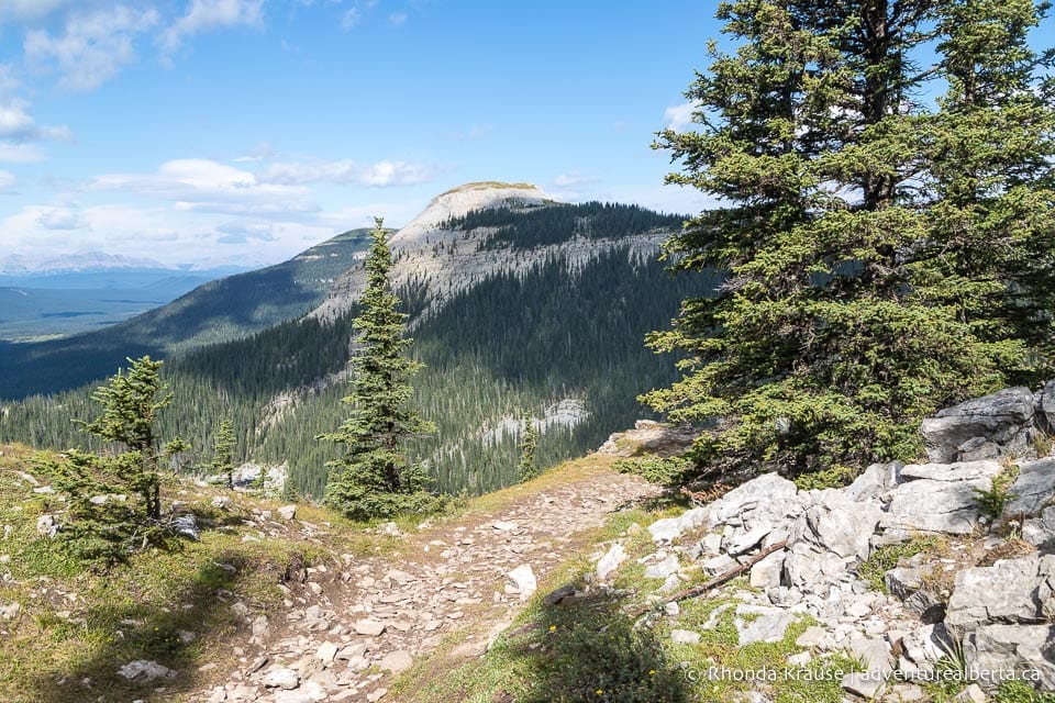
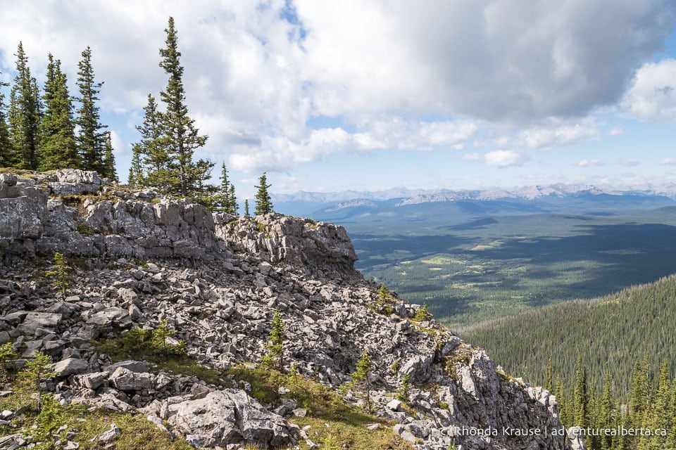
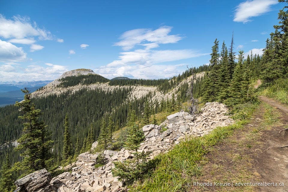
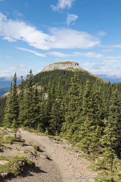
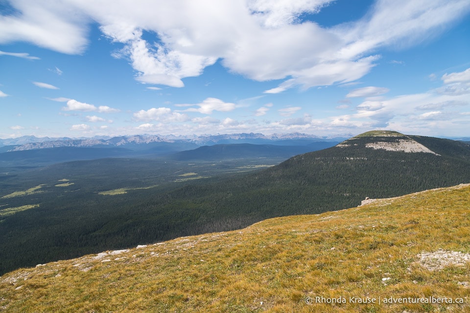
As you round the corner, the curved spine that gives Coliseum Mountain its amphitheatre-like shape comes into view. The next section of Coliseum Mountain Trail will take you along that ridge and to the top of the cap at the far end of the mountain.
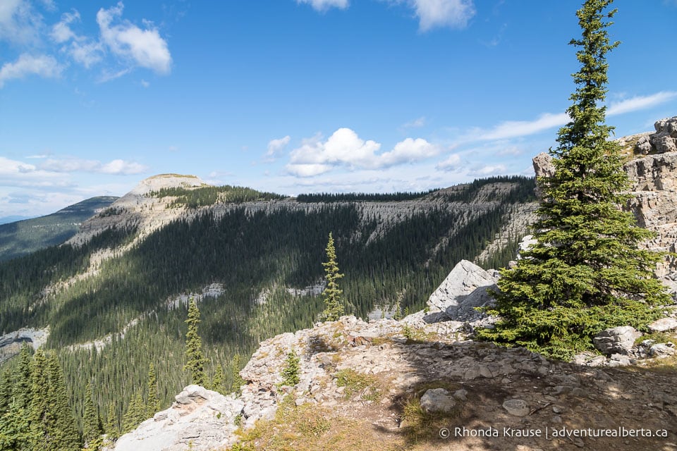
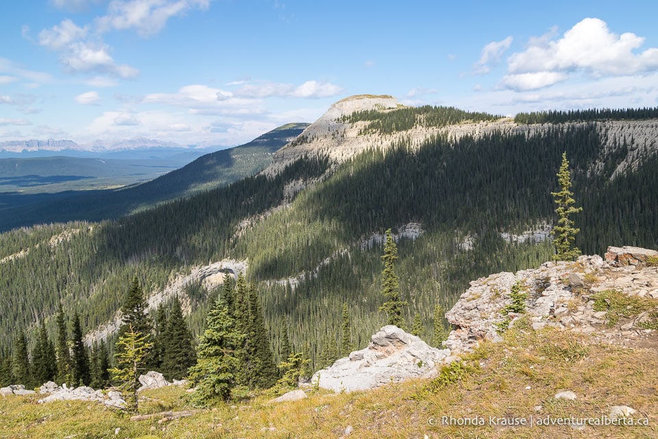
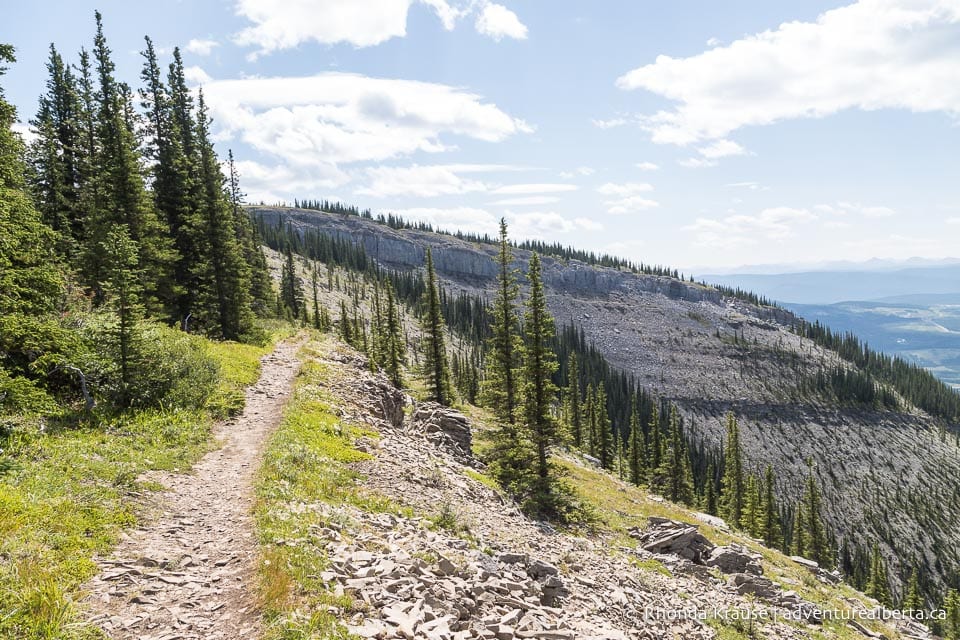
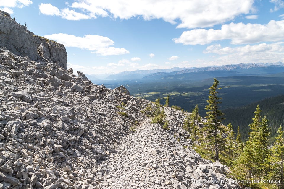
To reach the spine, follow the trail around to the front of the rocky cliffs and across the scree slope. After traversing the slope, turn left and begin walking along the spine to the cap.
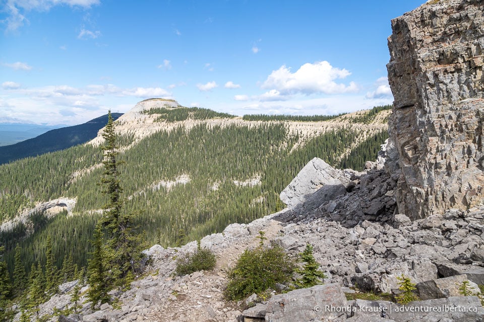
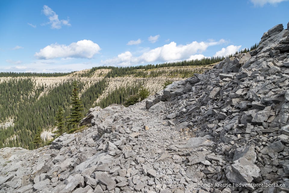
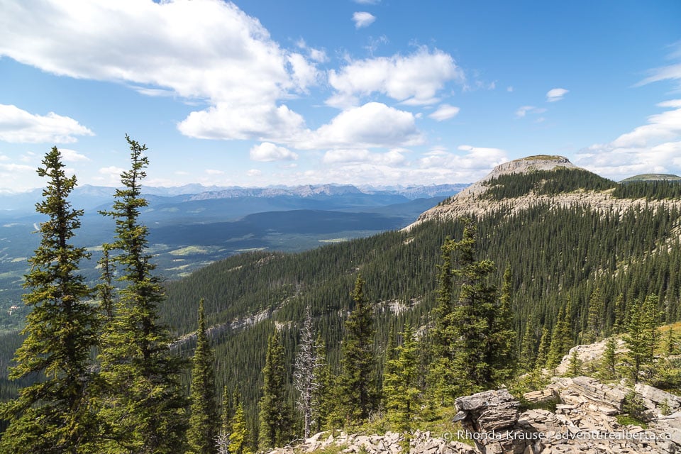
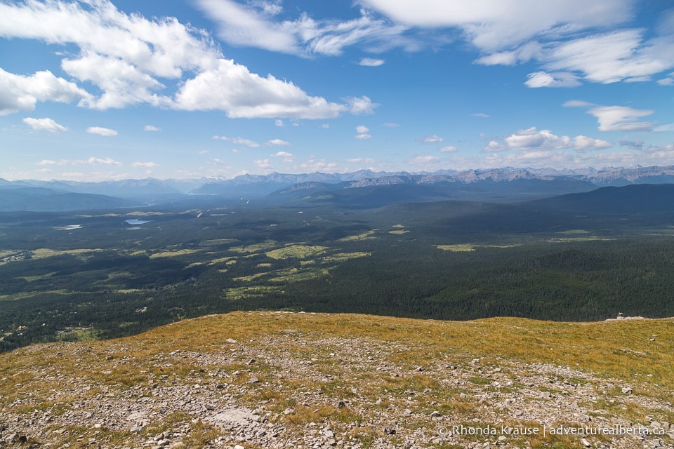
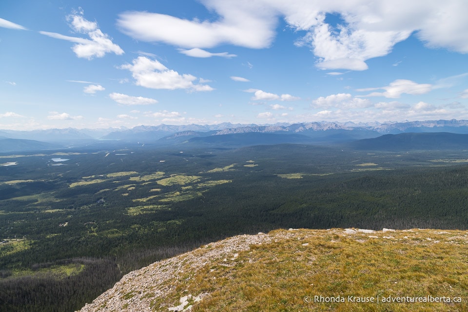
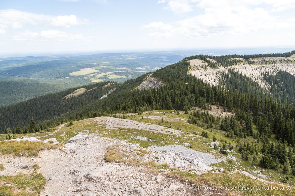
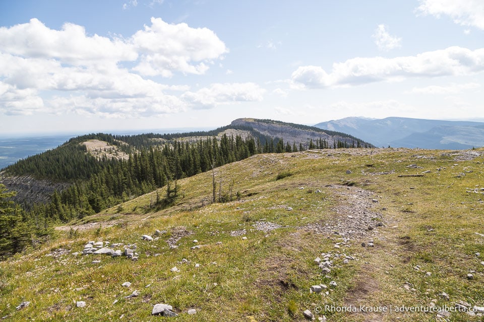
The hike along the curved ridge is an easy stroll with fantastic views all around. Forests carpet the sprawling foothills below, distant rocky peaks faintly appear through the sky’s haze, and the cap of Coliseum Mountain looks bigger and more beautiful with each step.
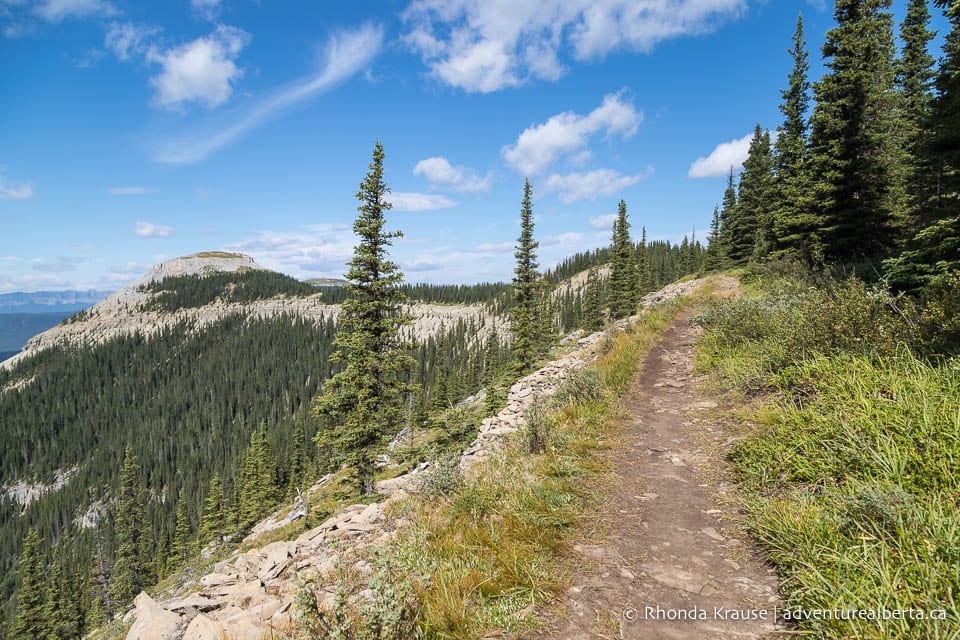
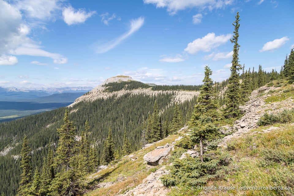
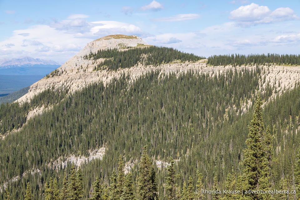
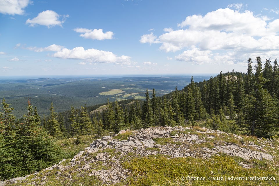
Further down the ridge, the trees lining the right side of the path open up to expose even more views.
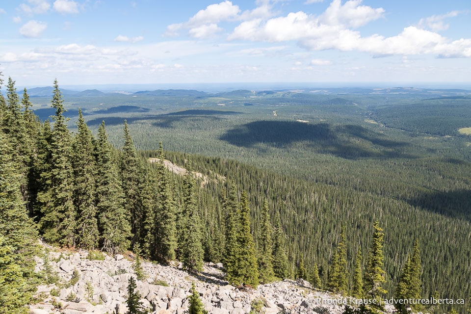
As Coliseum Trail starts to curve in the direction of the cap, there are some small sections of trees to walk through, but soon enough views on both sides of the ridge are revealed once again.
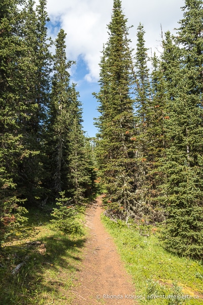
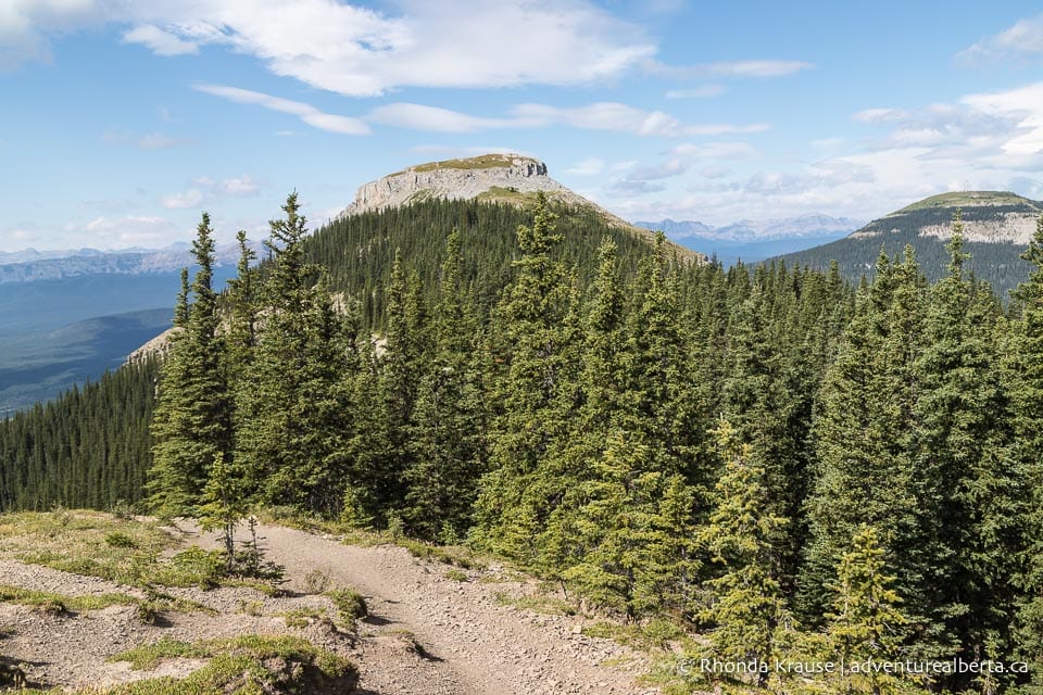
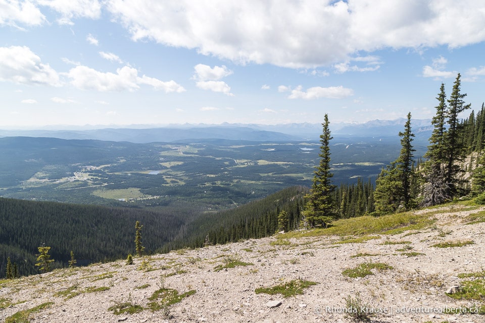
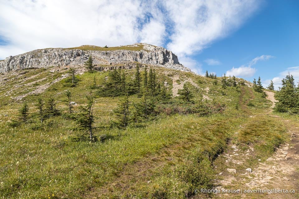
Arriving at the end of the spine, you’ll find yourself in a meadow at the base of the rocky cap. From here it’s a short uphill walk to the top.
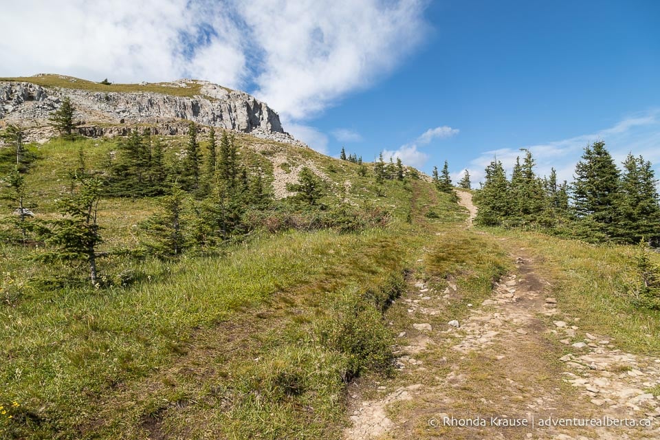
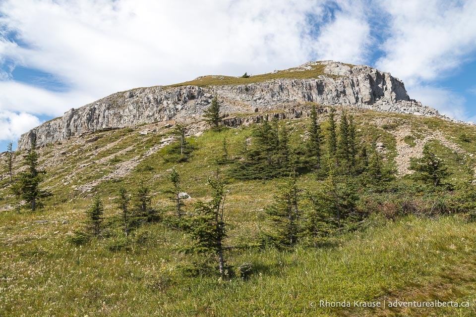
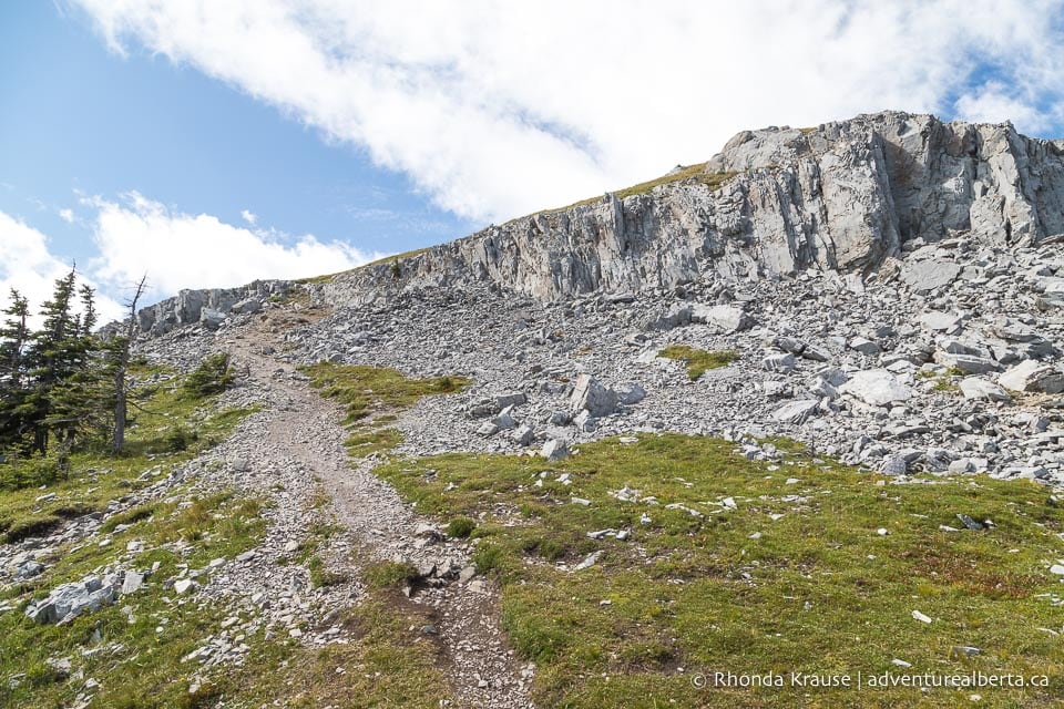
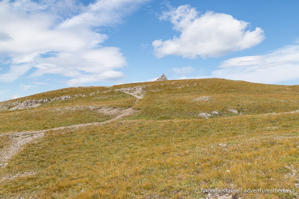
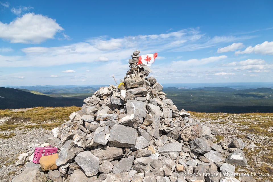
Once you’ve got over the rock, the final approach to the summit crosses over a grassy field. You can see a mound of stones on the hilltop marking the end of the Coliseum Mountain hike at an elevation of approximately 2,040 m.
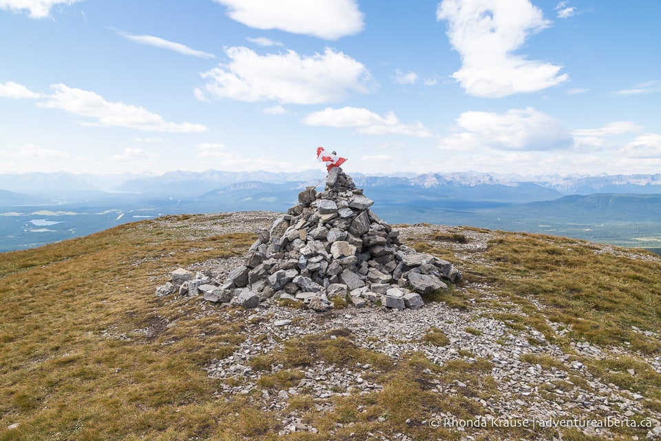
The panoramic view from the cap of Coliseum Mountain encompasses Shunda Mountain and the Baldy Fire Lookout, the David Thompson Highway, the hamlet of Nordegg, and the central part of Coliseum Mountain from which you just hiked. You can even see a bit of Abraham Lake and its surrounding mountain ranges.
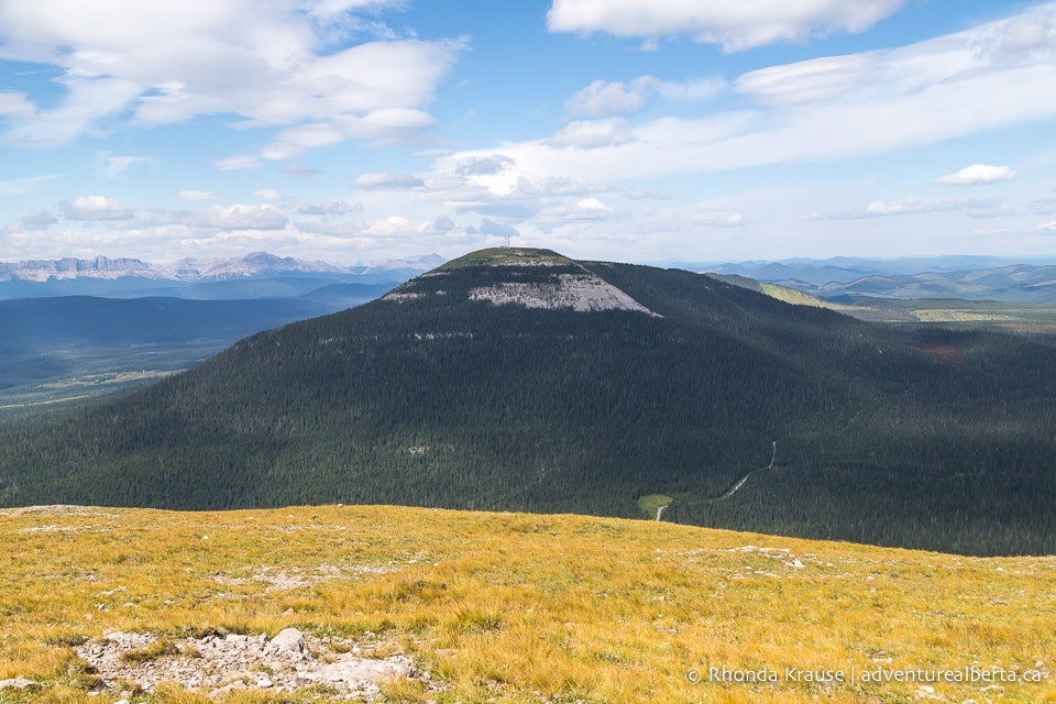
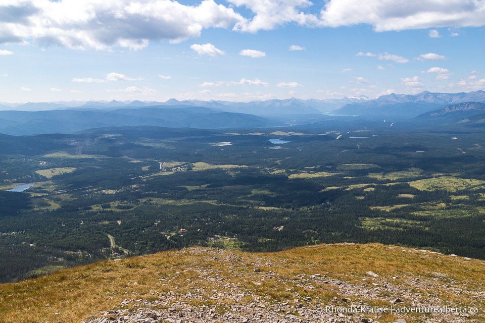
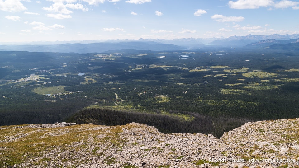
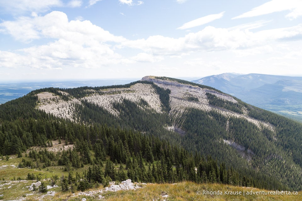
If it’s not too windy, the top of Coliseum Mountain is a nice place for a picnic lunch.
After a break to enjoy the scenery, head back the same way you came. The return hike is a breeze as it’s all downhill after you cross the ridge and get back into the forest.
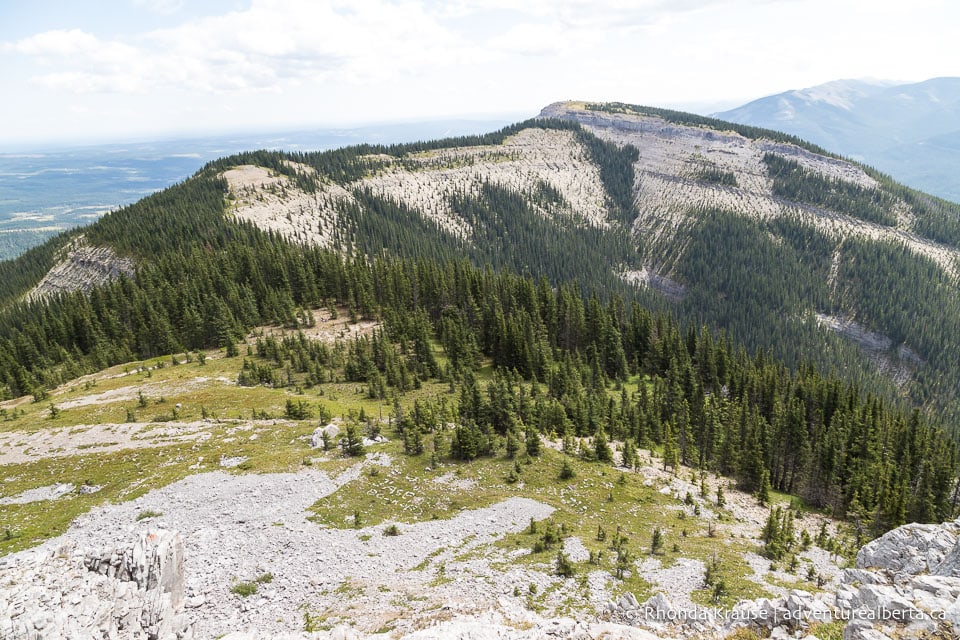
Review of the Coliseum Mountain Hike
The Coliseum hike in Nordegg is a great option if you’re looking for a trail that offers elevation gain and mountain views without having to travel into the Rockies.
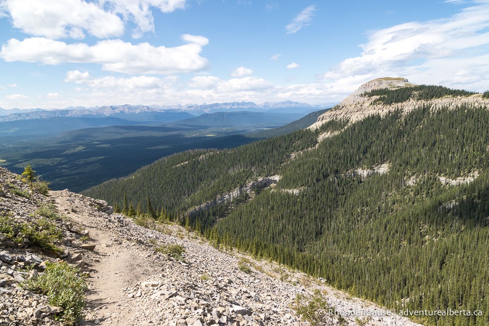
As far as summit hikes go, Coliseum Mountain Trail is relatively easy. There’s just enough challenge to get a good workout out in, but the switchbacks help eliminate the dreaded leg burn you can experience on steeper trails.
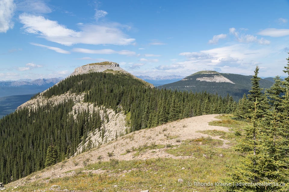
The trail is well marked with signs and arrows so is easy to follow. The first section that climbs through the forest can feel long and monotonous, especially if you’re not particularly fond of forest walks. But once you break through the trees the view makes it all worth it.
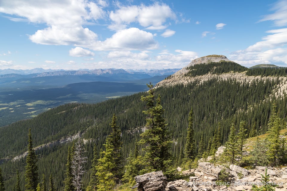
Pictures of Coliseum Mountain Trail
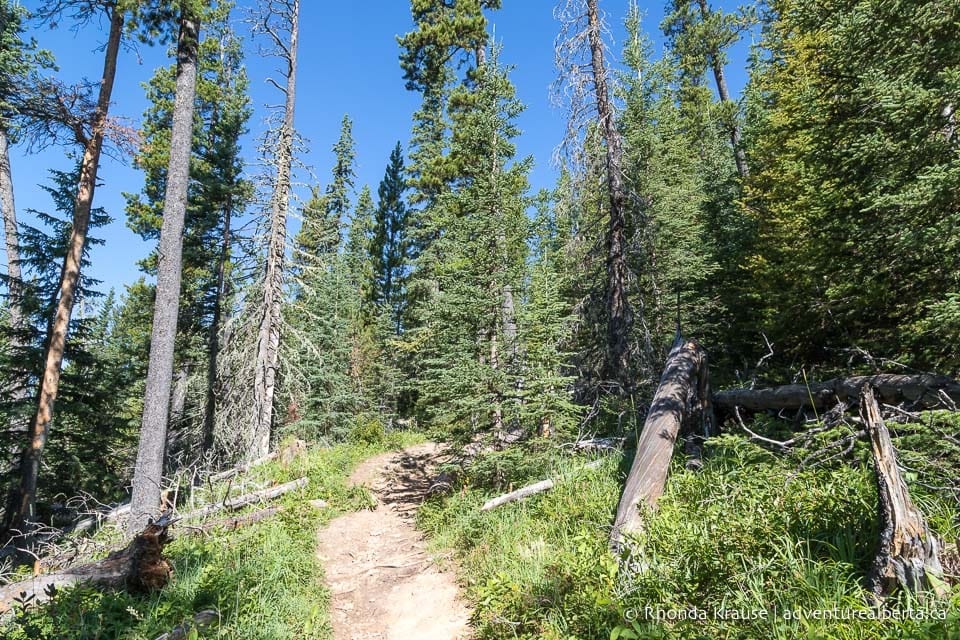
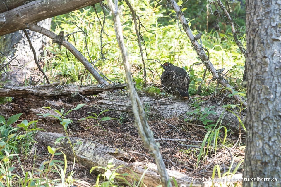
Here are a few more pictures of the Coliseum Mountain hike.
Tips for Hiking Coliseum Mountain Trail
Location: Coliseum Mountain is located in Clearwater County in west central Alberta, near the hamlet of Nordegg.
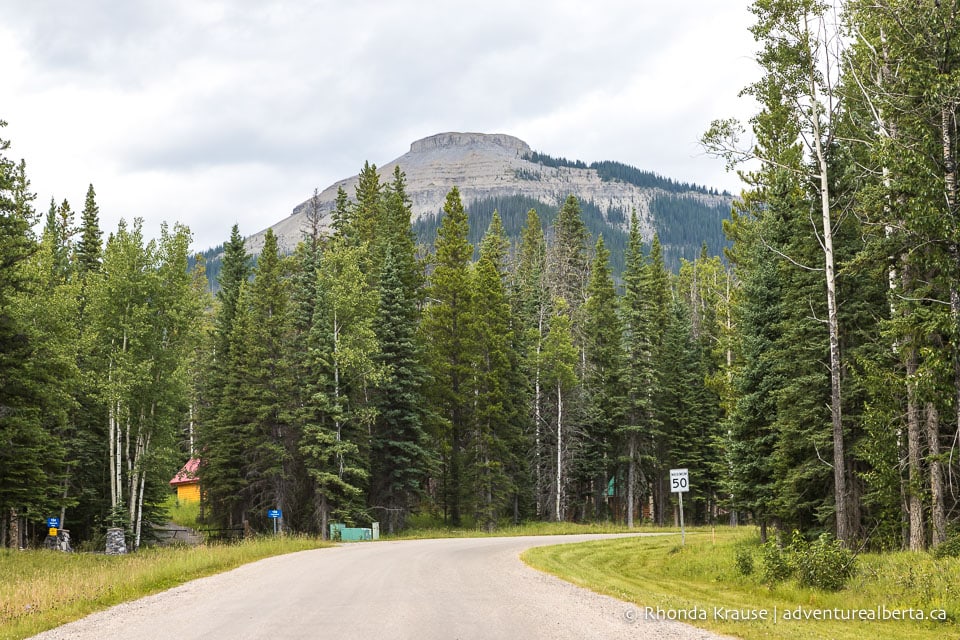
Getting to the Coliseum Mountain Trailhead: If coming from Edmonton, Calgary, or Red Deer, you will pass through Rocky Mountain House and take Highway 11 (the David Thompson Highway) towards Nordegg. Just past the turn off into Nordegg, take the first right onto Range Rd. 152A. At the fork, bear right onto Baldy Mountain Road then turn right onto Eagle Drive. Follow Eagle Drive to the Coliseum Trail Staging Area at the end of the road.
- Put “Coliseum Mountain Staging Area” into Google Maps for directions.
Best Time to Hike Coliseum Mountain Trail: The Coliseum hike is best done between May and October.
Facilities: At the staging area there is an outhouse and an information board where you can pick up a simple map of Coliseum Trail and the Nordegg area. There’s an outdoor toilet near the top of the switchbacks.
Visitor Guidelines and Safety: This trail is in bear country so bring bear spray, make noise while hiking, and educate yourself on what to do if you encounter one.
- There are areas of cell service on the trail, but it’s best to download an offline map from a hiking app ahead of time.
- Leave no trace by packing out all your garbage.
Gear and What to Bring: Sturdy and supportive hiking shoes are recommended because of the rocky, uneven terrain in places. Hiking poles are not essential, but they do provide some support and take strain off your knees when coming downhill.
- Bring water, snacks, and a lunch to enjoy at the summit.
- Pack layers because it can be quite windy at the top.
Nearby Hikes and Places to Visit
You may also enjoy these nearby trails and places to visit:
Shop for Alberta & Adventure Themed Merchandise
Visit our store for more Alberta, nature, and adventure inspired products.


