Purchases made through links earn us a small commission, at no extra cost to you.
In winter, the Cline River Canyon near Nordegg is transformed into an icy wonderland with crisp blue water and frozen waterfalls draping the rugged rock walls.
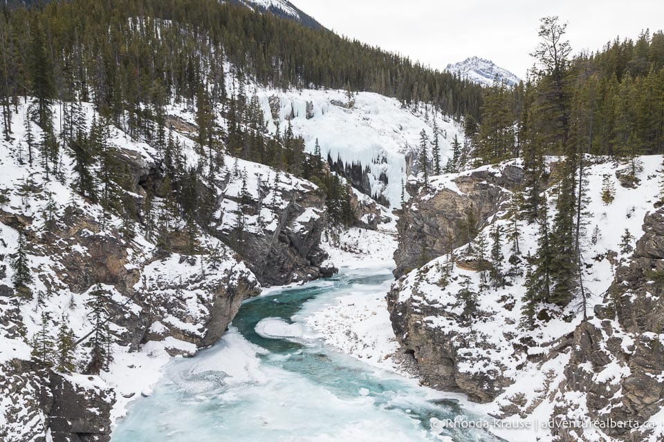
The short and easy Cline River Falls hike is an enjoyable way to experience the beauty of Cline River Canyon in winter. The hike passes by an impressive viewpoint on the canyon rim before descending to the base of a frozen waterfall on the Cline River.
Cline River Falls Hike (in Winter)
Distance: 3.5 km round trip
Difficulty: Easy
Elevation Gain: 60 m
Surface: Snow covered trail with icy patches and some exposed rocks
Trail Type: Out and back
Time: 1.5– 2 hrs
Trailhead: Pinto Lake Staging Area (just off Highway 11/David Thompson Highway)
Cline River Falls Trail Description
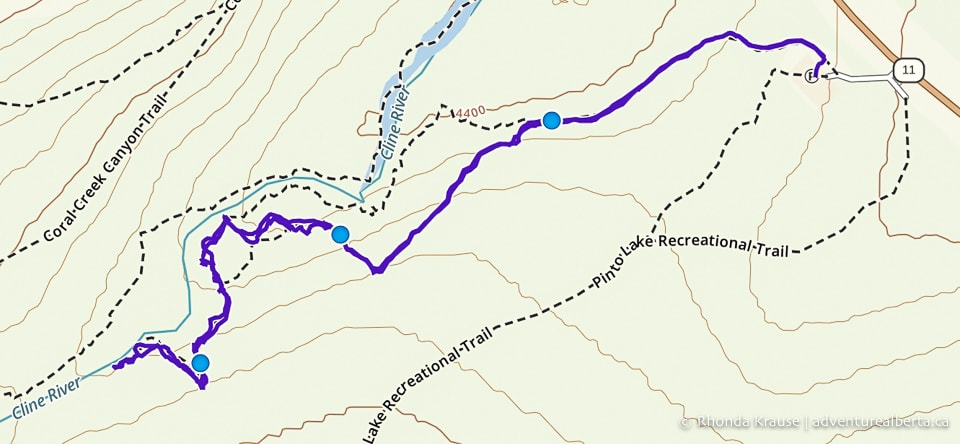
The Cline River Falls hike follows the Cline River Canyon Viewpoint Trail all the way to an access path that leads down to the river at the base of the canyon.
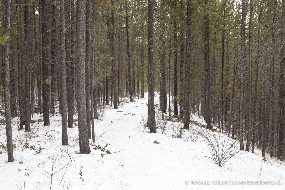
Leaving from the north end of the parking lot, the trail begins with a short ascent up a small hill. It then heads west on flat ground into a pine forest.
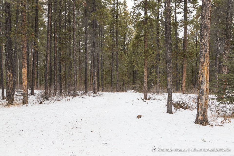
The first section of the hike is an easy walk through an open pine stand. You’ll soon notice blue flagging tape tied to the trees marking the route to the waterfall.
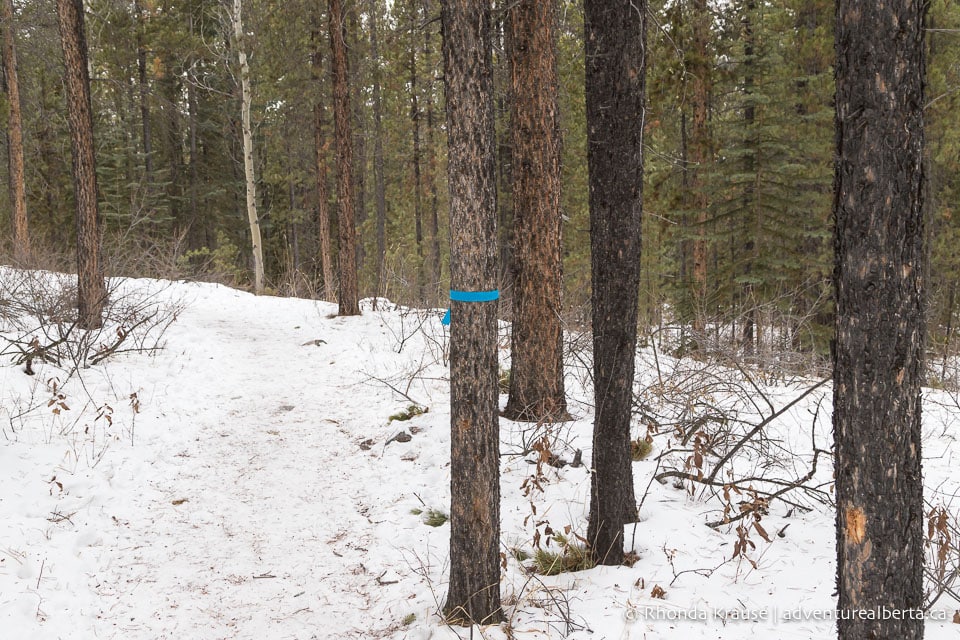
As you continue on the forested trail, you’ll get glimpses of mountains on your right. The Cline River is also on your right, but you don’t get views of it until the trail gets closer to the canyon rim.
About half a kilometre into the hike you’ll come to a small hill. This one shouldn’t be icy, but the foot traffic does wear away the snow to reveal the dirt path underneath.
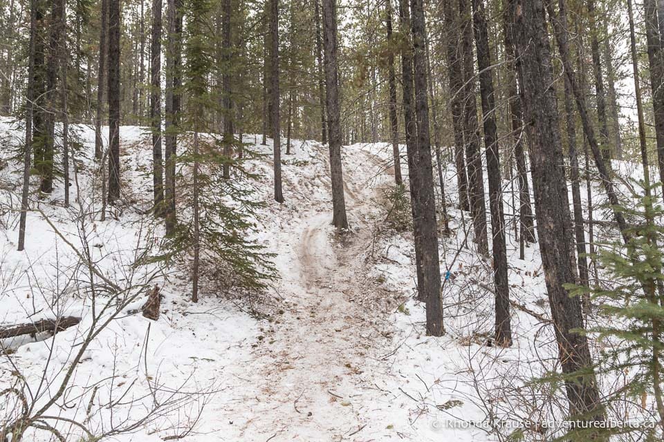
After the hill, the trail levels off and continues through the forest. Not long later the trail makes a slight right and starts heading in the direction of the Cline River. Depending on where other hikers have walked, it can look like a fork in the trail with packed snow on both the left and right side of the tree flagged with tape (at the time of this writing there was both blue and orange flags). Keep right here, taking the path that makes a gentle descent.
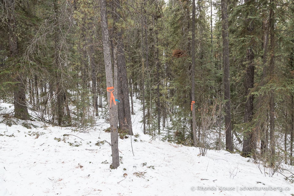
Still walking through the forest, you’ll soon cross a more open area where you can briefly see the river on your right. Keep walking straight across the slope and back into the trees.
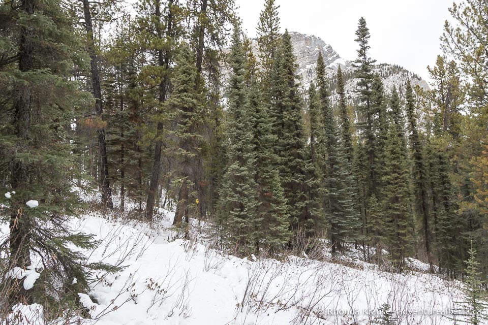
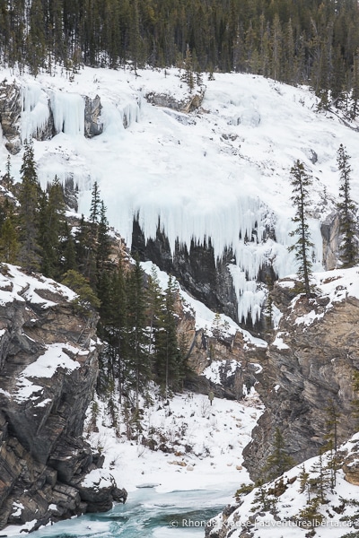
The trail then continues its gradual approach towards the river. Keep walking in the direction of the river until you reach the rim of the Cline River Canyon. Here you’ll get to see the first of several veils of ice covering the canyon walls.
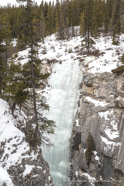
The hike gets incredibly scenic from this point on as the trail roughly follows the rim of the canyon. After coming around the bend you’ll reach the Cline River Canyon Viewpoint.
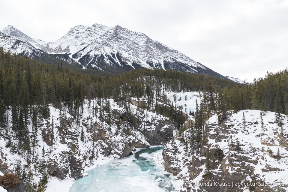
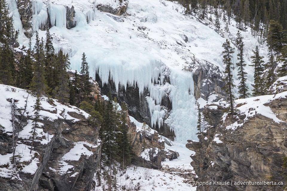
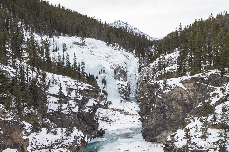
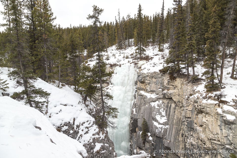
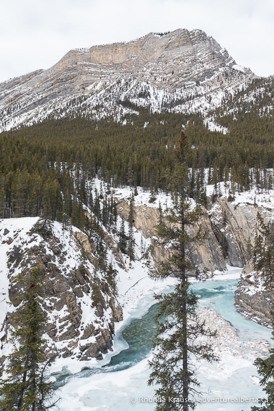
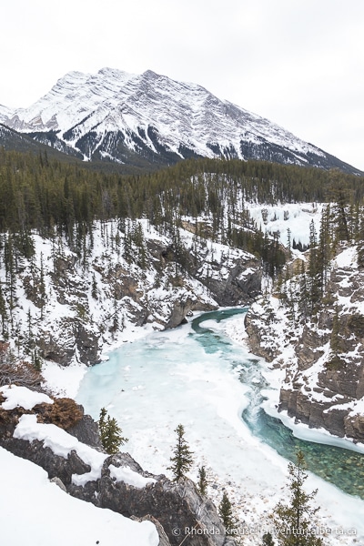
The viewpoint offers an incredible vantage point for admiring the Cline River, its canyon, and backdrop of mountains. Just upstream of the bend in the river you’ll see the frozen Cline River Falls, the final destination of this hike.
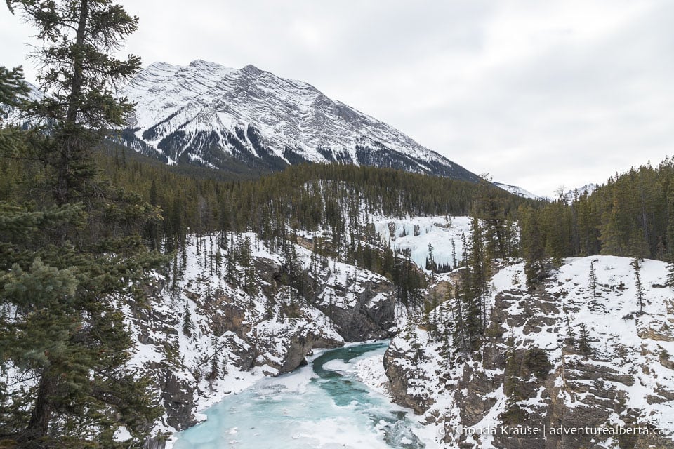
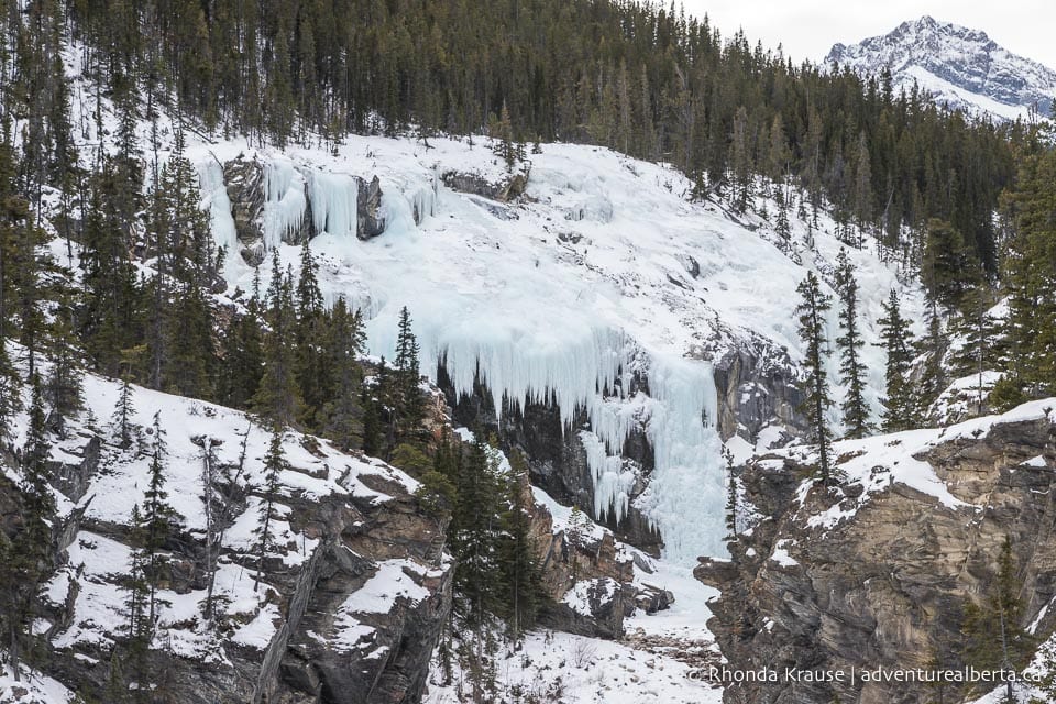
As you make your way further along the top of the canyon there are more great views to be had. It seems like with every step the scenery looks better and better.
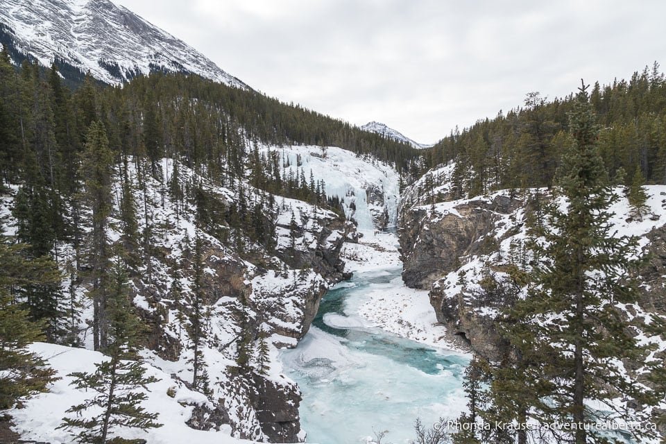
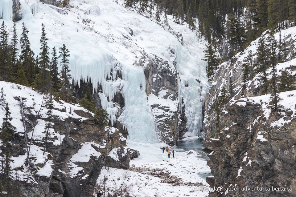
After the viewpoint, the trail briefly goes into the trees again before making a sharp right and heading downhill along a wall of rock.
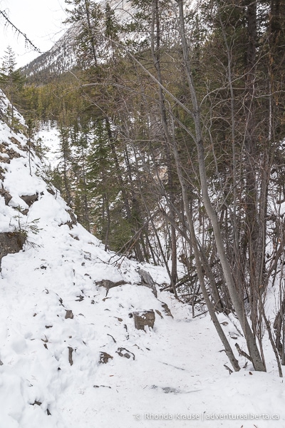
Even though this is the steepest hill on the trail, it’s not too difficult. The main challenge is maneuvering across or around the icy patches, but there are trees you can grasp onto for support if needed. Before going down the hill you’ll want to put some ice cleats on, since there are exposed rocks that would hurt to fall on.
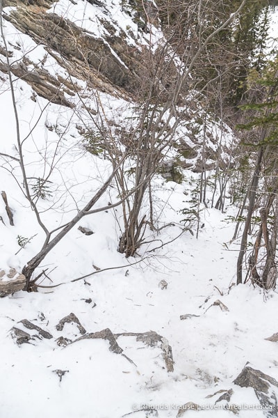
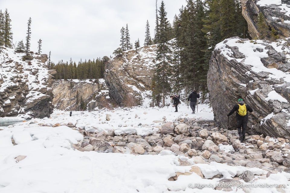
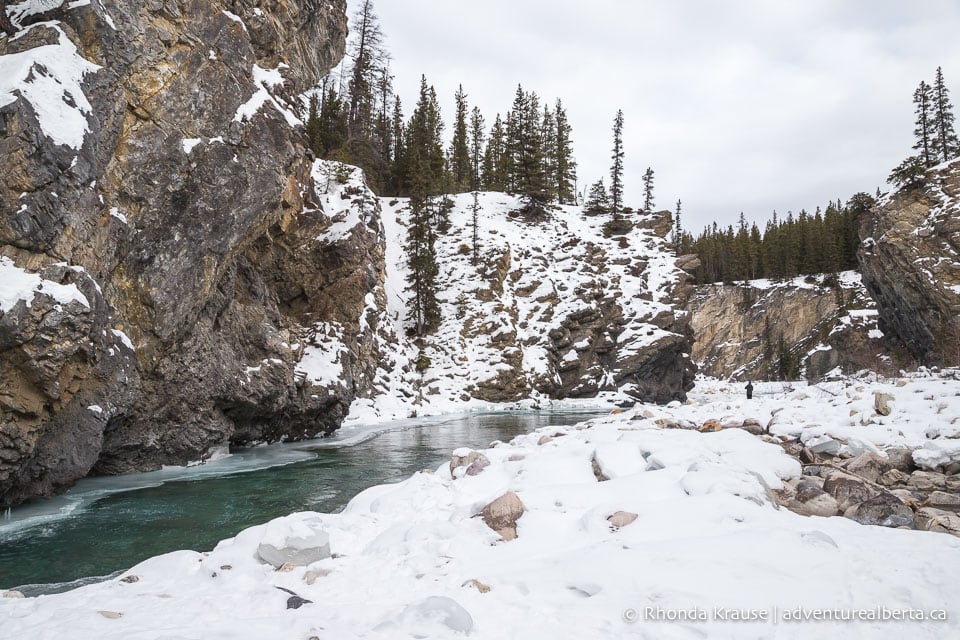
At the bottom of hill you’ll come to the Cline River. Turn left and walk across the rocks towards the frozen falls.
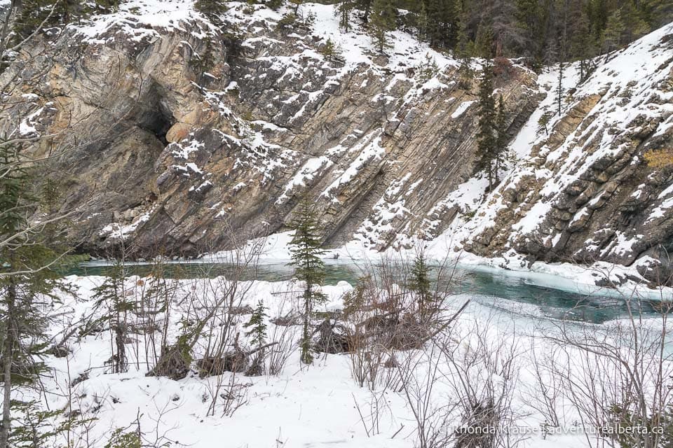
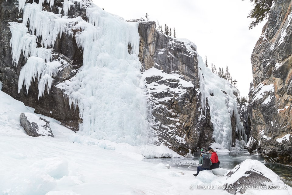
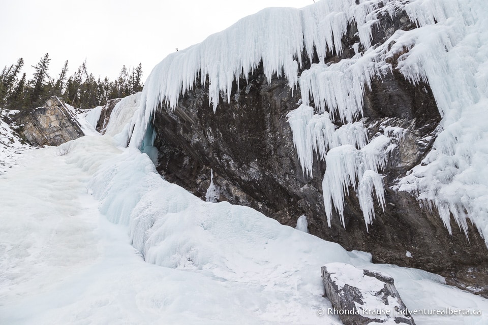
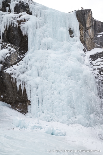
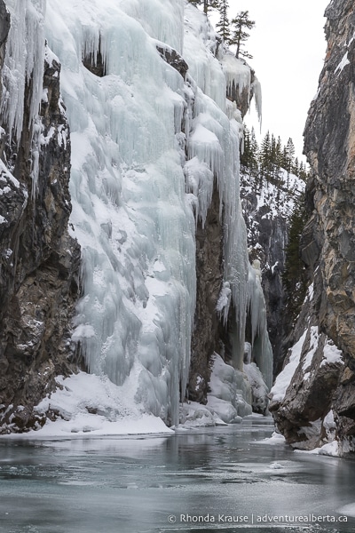
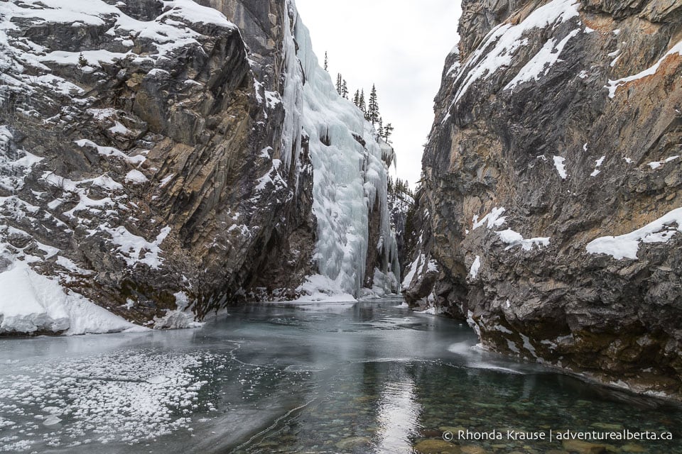
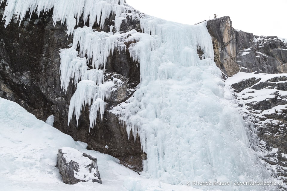
At the base of the Cline River Falls there is a large patch of ice, slightly sloped towards the river so it’s tricky to walk on without ice cleats. You’ll definitely want to take your time here not only so you don’t fall, but because the icy scenery is gorgeous and deserves to be savoured.
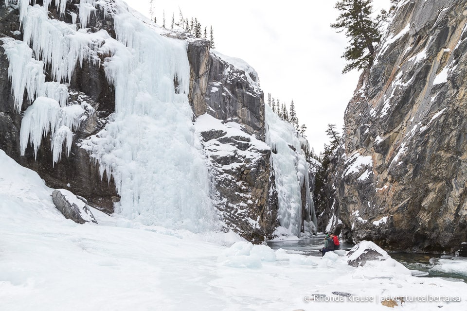
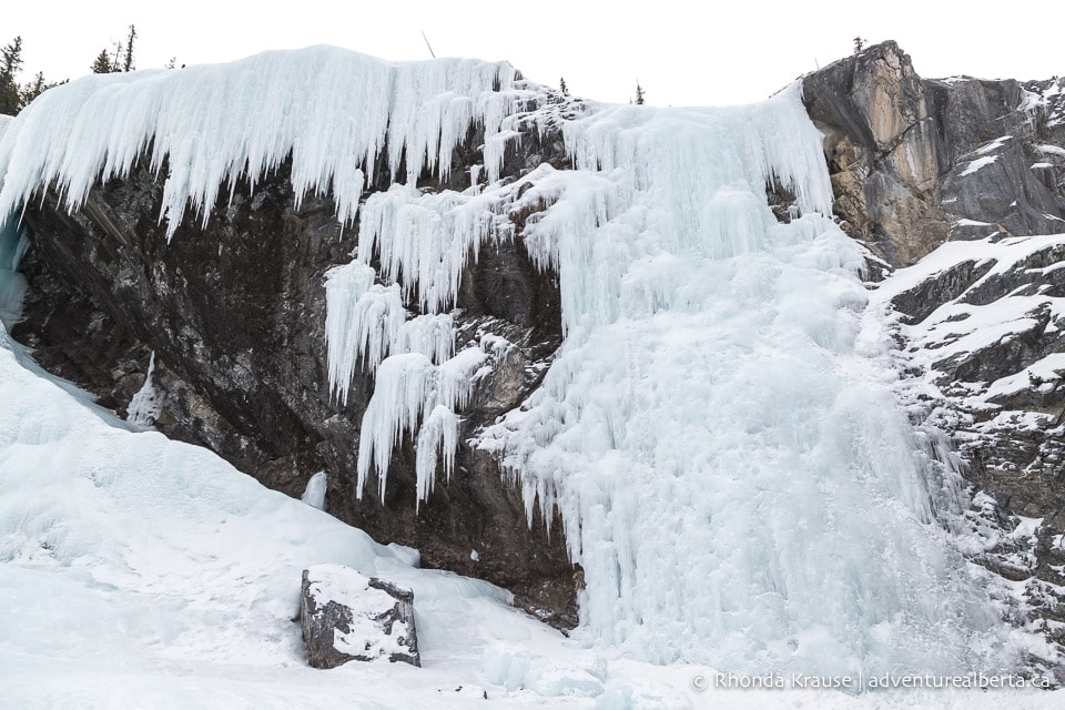
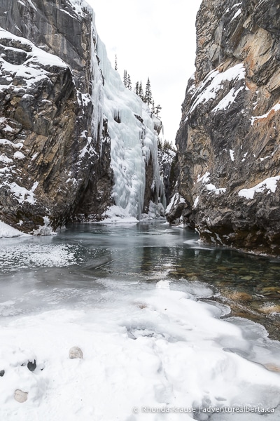
From the viewing area at the bottom of the falls, you can look upstream into a narrow part of the canyon that is also draped in ice. Open water prevents you from getting closer, but the ice is still pretty when viewed from a safe distance.
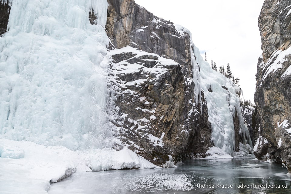
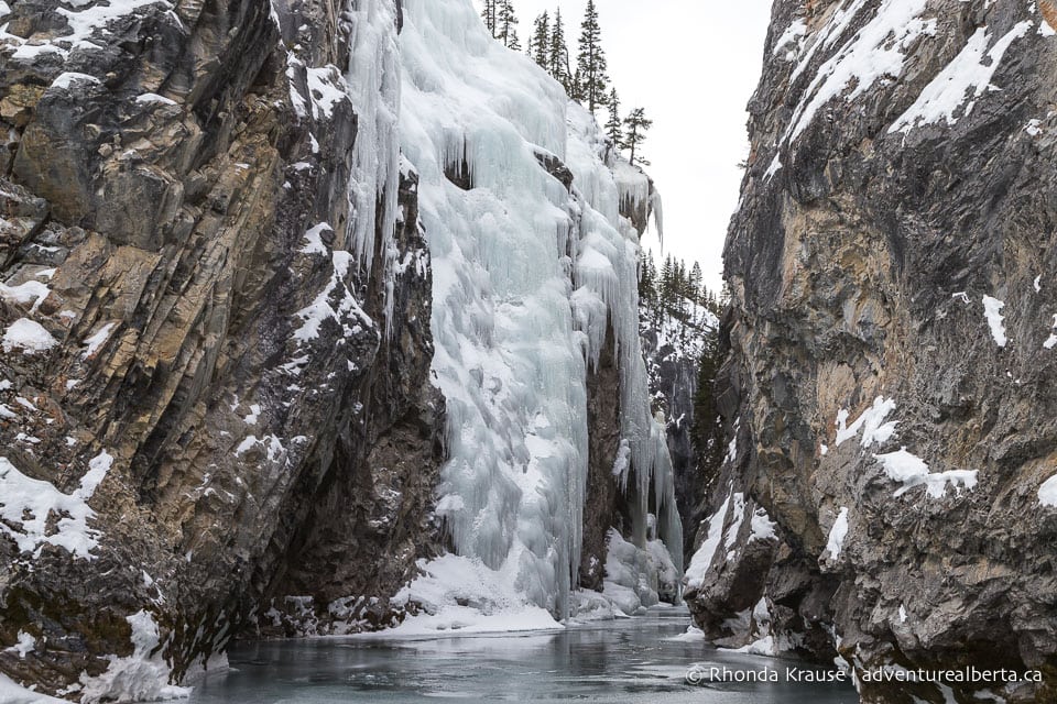
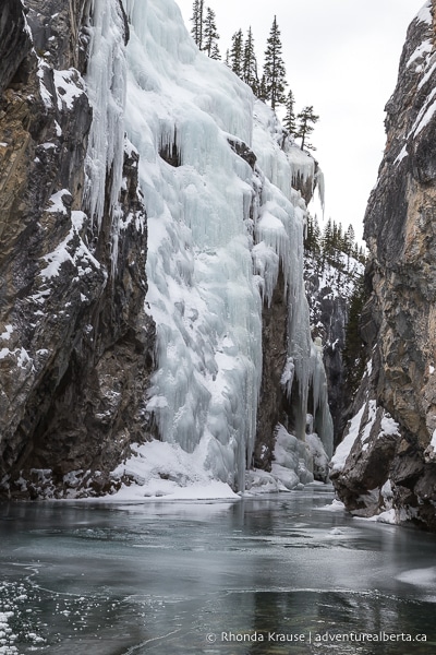
Depending on when you do this hike, you may even see ice climbers on the frozen waterfall.
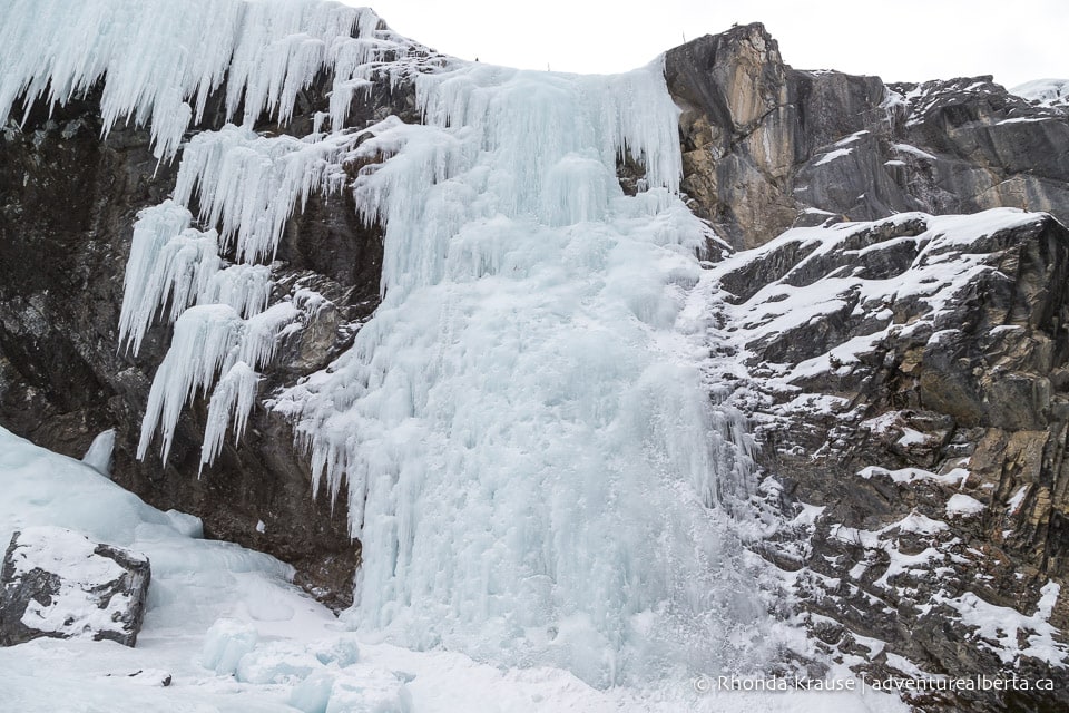
Once you’re ready to leave the Cline River Falls, follow the same trail you hiked in on to get back to the staging area.
Review of the Cline River Falls Winter Hike
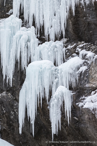
The Cline River Falls trail is an excellent option if you want a short and easy winter hike that doesn’t compromise on scenery. The Cline River Falls hike is especially great if you love frozen waterfalls and icicles because the trail offers views of several ice falls along the canyon. The minimal effort required to reach such a scenic location makes this one of the top winter hikes near Nordegg.
Since the Cline River Falls hike doesn’t take long to complete, it leaves some time for enjoying other winter attractions in the Nordegg area, most notably the Abraham Lake ice bubbles. Combining the Cline River Falls hike with a visit to nearby Abraham Lake makes for a fun-filled, easygoing day trip that samples a few of Alberta’s best winter activities.
Pictures of the Cline River Falls Hike in Winter
Here are a few more pictures of the Cline River Falls winter hike.
Tips for Hiking Cline River Falls Trail
Location: Cline River Canyon is located in Clearwater County in west central Alberta. It’s approximately 49 km southwest of Nordegg beside Abraham Lake.
Getting to the Cline River Falls Trailhead: The trailhead for the Cline River Falls hike is at the Pinto Lake Staging Area on the David Thompson Highway (Hwy 11). If coming from Edmonton, Calgary, or Red Deer, you will pass through Rocky Mountain House and take Highway 11 directly to the staging area. It will be the first right after crossing the outlet of the Cline River. The turnoff isn’t signed on the highway, but as you’re pulling into the parking lot you’ll see a post that says Pinto Lake Staging Area.
- To make sure you don’t miss it, put “Pinto Lake Staging Area” into Google Maps for directions.
- Pulling into the staging area you’ll see two roads, one going right and one going left. Keep right to get to the parking lot at the Cline River Canyon Viewpoint trailhead.
Best Time to Hike Cline River Falls Trail: This hike can be done year round, but if you want to see the waterfall frozen then you obviously need to hike it in winter. By late January the ice falls should be nice and thick (that’s when the pictures in this post were taken).
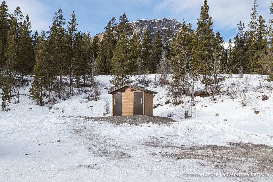
Facilities: There’s an outhouse at the trailhead but it might be locked in the winter (it wasn’t open when we did the hike).
Visitor Guidelines and Safety: Stay away from cliff edges and don’t get too close to open water.
- Download an offline map from a hiking app ahead of time since cell service is spotty at the start of the trail.
- Leave no trace by packing out all your garbage.
Gear and What to Bring: Ice cleats and hiking poles are recommended because of how slippery it is at the waterfall and some points on the trail.
- Dress in warm layers.
- Bring water and a snack to enjoy at the falls.
Nearby Hikes
You may also enjoy these nearby trails:
Shop for Alberta & Adventure Themed Merchandise
Visit our store for more Alberta, nature, and adventure inspired products.


