Purchases made through links earn us a small commission, at no extra cost to you.
A trip to Jasper National National Park wouldn’t be complete without visiting Athabasca Falls, one of the most remarkable waterfalls on the Icefields Parkway.
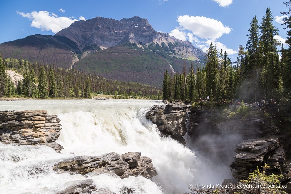
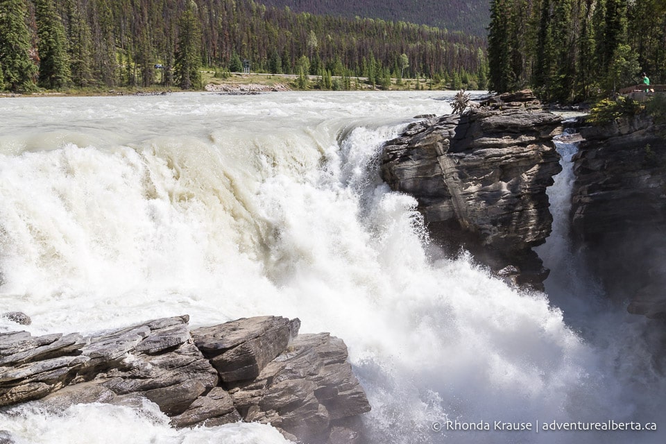
On first glance you might not be impressed with its height, at only 23 m tall, but it’s the sheer volume and force of the Athabasca River tumbling over a wide ledge into a tight canyon that makes Athabasca Falls one of the most powerful waterfalls in the Canadian Rockies.
About Athabasca Falls in Jasper National Park
Athabasca Falls is a Class 5 waterfall on the Athabasca River, the largest river system in Jasper National Park. The river and falls are fed with water flowing from the Columbia Icefield glaciers, snowmelt from surrounding mountains, and rainwater.
The Athabasca Falls formed during the last glaciation when movement of the Athabasca Valley Glacier sheared off chunks of hard quartzite, creating a cliff. When the ice melted, water poured over the cliff and carved a path through the softer limestone below, creating the short canyon we see today.
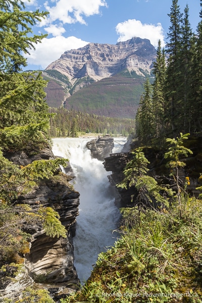
Over thousands of years, the river has eroded potholes, cracks, and intricate shapes into the canyon walls. The potholes were “drilled” into the walls by particles of sand, silt, and gravel caught in spinning water below the waterfall. Potholes are still forming that one day will be suspended above the water of an even deeper canyon.
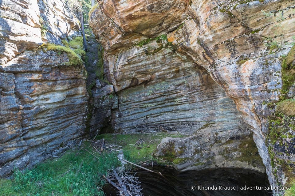
Viewing Athabasca Falls
Athabasca Falls is easily reached via a short paved trail from the parking lot, so getting there doesn’t involve any hiking. The waterfall and its gorge can be admired from several fenced viewpoints along the trail, including a foot bridge that crosses over the canyon. Interpretive signs on the route provide some interesting facts about Athabasca Falls and how it was formed.
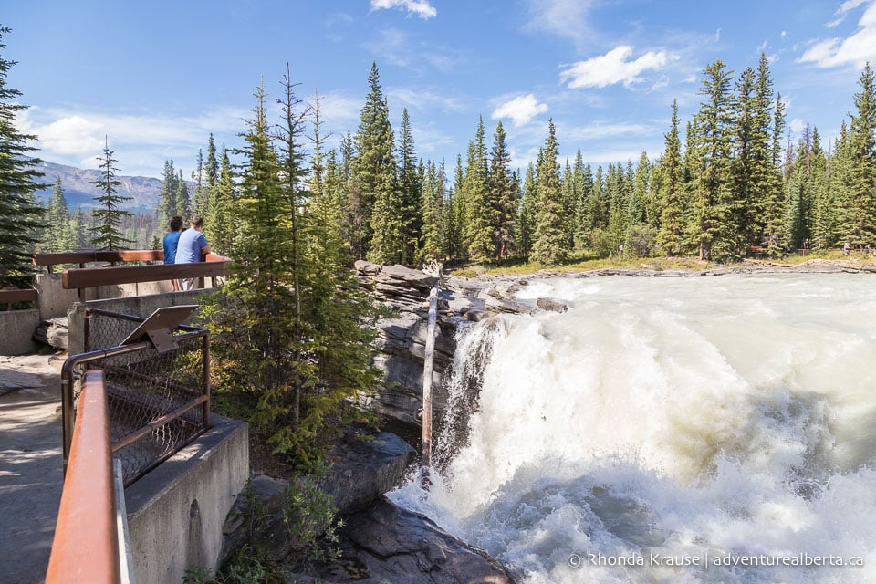
When viewing Athabasca Falls it’s important to stay behind the protective barriers and not approach the canyon or river’s edge because there have been fatalities here.
Athabasca Falls Trail
Athabasca Falls Trail has two distinct areas of interest- the falls at the top of the canyon and the river at the lower end of the canyon.
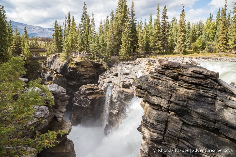
The path around the falls is mainly flat, whereas the other trail has some steps descending to the river. If you walk both trails and visit all the viewpoints near the falls, you’ll only travel about 1 km with an elevation change of 15- 20 m.
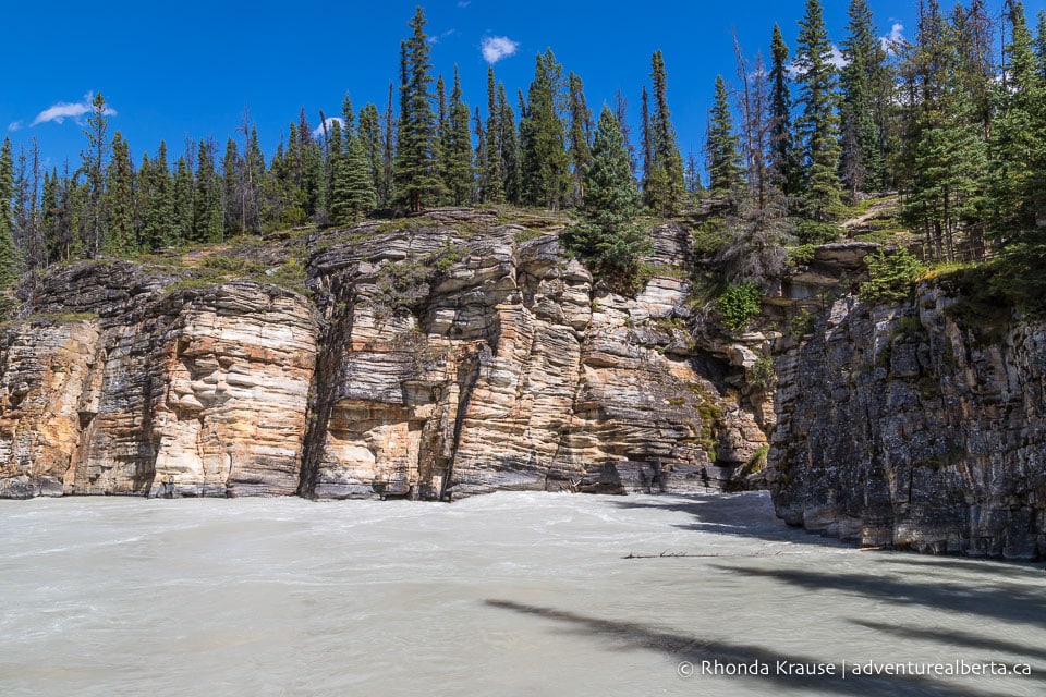
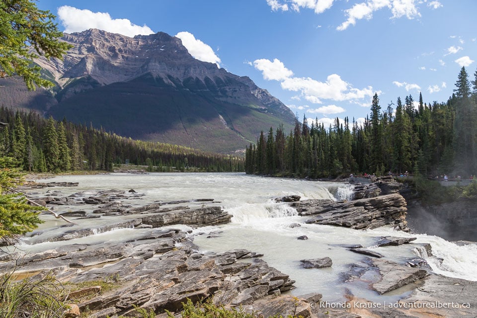
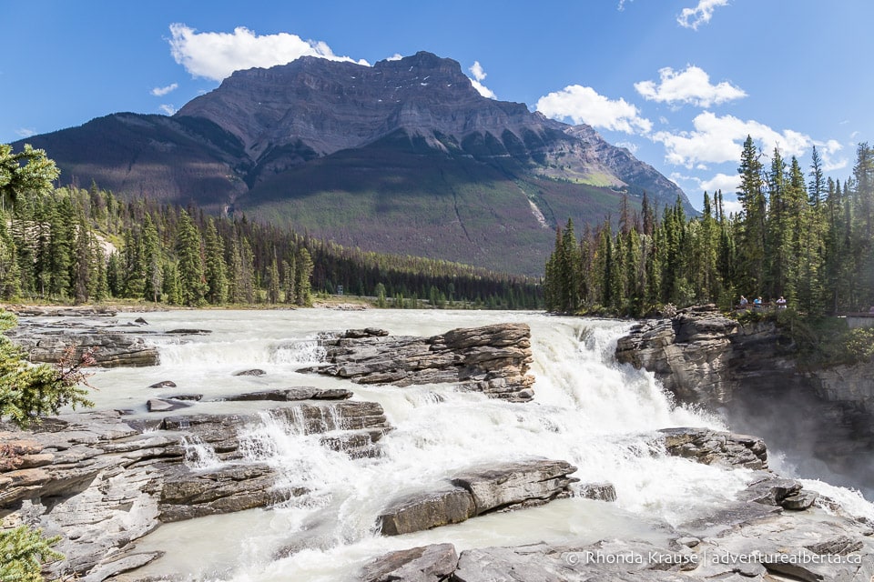
Shortly after leaving the parking lot, Athabasca River comes into view and the trail soon delivers you to the first observation point at the top of the falls. Here you can see Mount Kerkeslin overlooking the river as it gushes over a series of rock steps then disappears into the gorge.
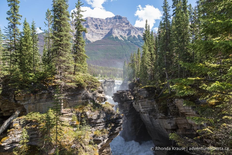
A little further up the trail you’ll cross a bridge where you can peer down into the canyon at the mighty Athabasca River as it squeezes in between rock walls. Centuries of rushing, swirling water have eroded lines and potholes into the soft limestone below.
After the bridge you’ll come to an intersection where the trail splits in two. Going right leads down to the river and going left takes you to another viewpoint at the edge of the falls.
Heading left, the trail passes through a forested area before coming to another junction. Go left to get to the viewpoint (keeping straight will take you further upriver).
This next viewpoint is the closest you can get to Athabasca Falls and the spot that best showcases the power and volume of water crashing into the gorge. You might even feel a gentle mist as the water splashes over the rocky ledge in front of you.
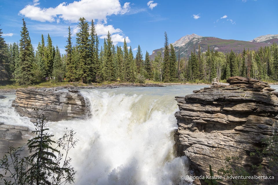
Once you’re done at the brink of the falls, return the way you came to get back to the trail junction near the bridge.
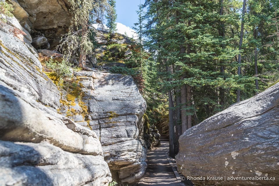
At the intersection, keep straight on the path to visit the river at the end of the canyon. The trail goes underneath Highway 93A then passes between two curvy walls of rock as it descends a series of steps. On busy summer weekends this path, which once was a channel of an ancient river, becomes a bottleneck of people stopping to take selfies.
Nearing the end of this trail you’ll come to the pothole, which as the name suggests, is a large hole in the rock created by years of swirling water. It’s another good spot to get an up-close look at the erosion ridges in the canyon’s wall.
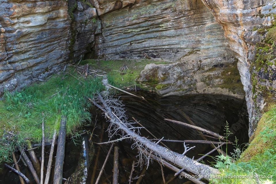
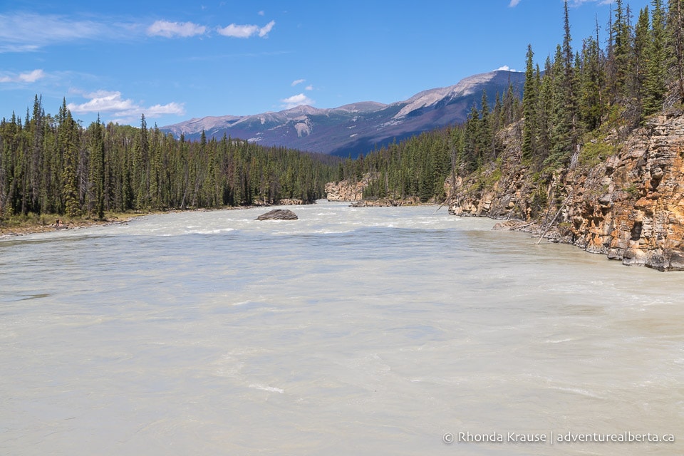
After the pothole, the trail splits in two different directions. Going straight will get you to the rocky shoreline of the river and going right takes you to a lookout point above the end of the canyon. Both spots have fantastic scenery to enjoy, but the elevated view at the end of the gorge is especially interesting.
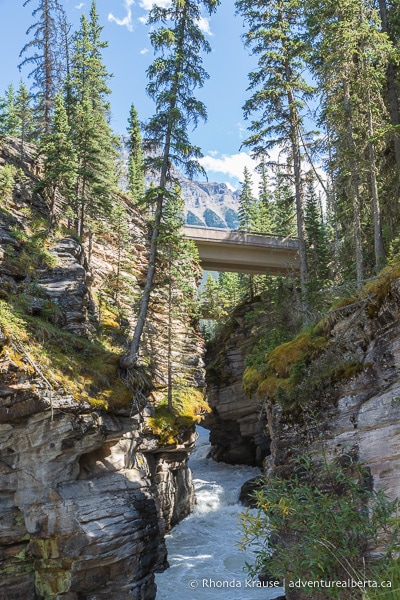
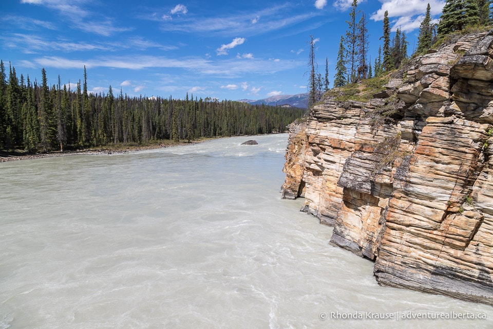
The riverbend marks the end of the Athabasca Falls Trail, so you’ll have to retrace your steps to get back to the trailhead. After climbing the “canyon staircase”, cross the bridge and follow the path back to the parking lot.
Athabasca Falls in Winter
For a completely different experience, consider visiting Athabasca Falls in winter. Instead of water rushing over the rocks, you’ll see a frozen cascade of ice reaching down to the gorge.
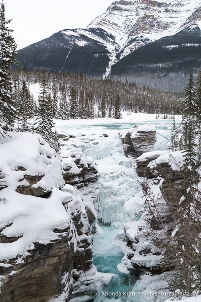
The area is far more peaceful during winter too, as fewer people visit that time of year. For that reason, you may have to trudge through some unpacked snow to reach the falls.
Review of Athabasca Falls
Athabasca Falls is so stunning that it’s able to impress in any season, even after multiple visits.
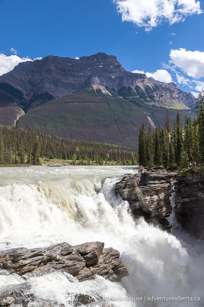
From the shocking volume of water rushing over the falls every second to the intriguing curves and lines of the canyon, there’s plenty of beauty to feast your eyes on.
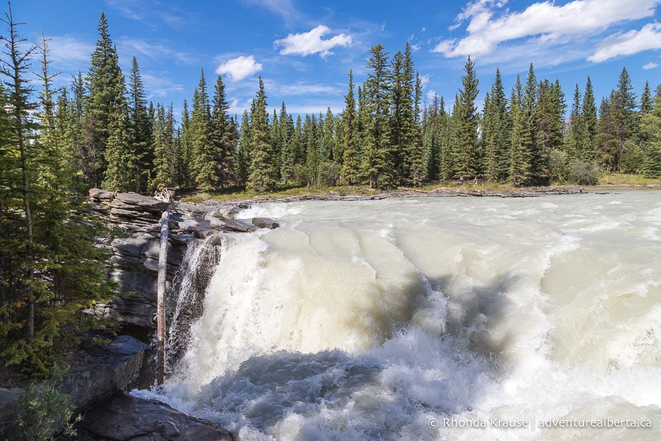
Unfortunately, in the summertime, one of Jasper’s most beautiful places can also be one of its most frustrating to visit because of the crowds (tours stop here). Some of the lookout points around the falls are small, so you have to be patient to wait your turn. Most disheartening is the amount of litter that gets left behind, especially since this is not a long trail where garbage cans are far away.
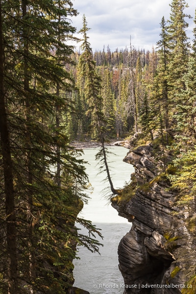
Even with a few downsides, Athabasca Falls remains one of the most beautiful waterfalls in Alberta, a must-see attraction in Jasper National Park, and one of the best stops on the Icefields Parkway drive.
Tips for Visiting Athabasca Falls
Location: Athabasca Falls is located in Jasper National Park just off the Icefields Parkway on Highway 93A. It’s approximately 32 km southeast of the Jasper townsite.
Getting to Athabasca Falls: From Jasper, travel south on Highway 93 (Icefields Parkway) then turn right onto Highway 93A. Drive a short distance up the road and the parking lot will be on the left. There are signs on the highway marking the turnoff to Athabasca Falls.
Best Time to Visit Athabasca Falls: The best time to visit Athabasca Falls depends on what type of experience you’re hoping to have. In late spring and early summer the falls are especially powerful because snowmelt runoff is the highest. In summer the falls get very busy, especially on weekends, so try to visit early or later in the day. Winter is the most peaceful time to visit the falls.
Facilities: There are outhouses and picnic tables.
Visitor Guidelines and Safety: Do not cross safety railings and fences because the rocks are slippery with mist from the falls.
- Leave no trace by packing out your garbage. If bins are full, take your garbage home with you.
- The falls are in bear country so don’t leave food unattended.
What to Bring: Regular running shoes are fine for walking Athabasca Falls Trail.
Accommodations in Jasper National Park
For your convenience, here is a list of hotels in Jasper National Park. Please consider booking your Jasper accommodations through the included link. It costs nothing extra and helps support this website. Thank you!
Nearby Hikes and Activities
You may also enjoy these other things to do in Jasper National Park:
Shop for Alberta & Adventure Themed Merchandise
Visit our store for more Alberta, nature, and adventure inspired products.


