Purchases made through links earn us a small commission, at no extra cost to you.
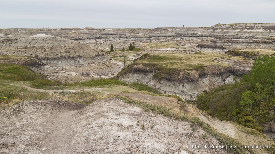
Horseshoe Canyon near Drumheller is a popular place to experience the beauty of the badlands, an ancient landscape of heavily eroded soft rock.
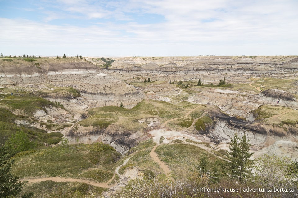
Horseshoe Canyon Trail serves as the starting point for a “choose your own adventure” type of exploration, delivering you to the canyon floor where you can then hike freely among the barren, sculpted hills.
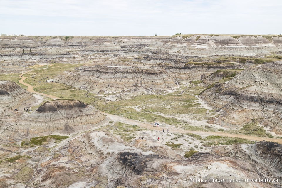
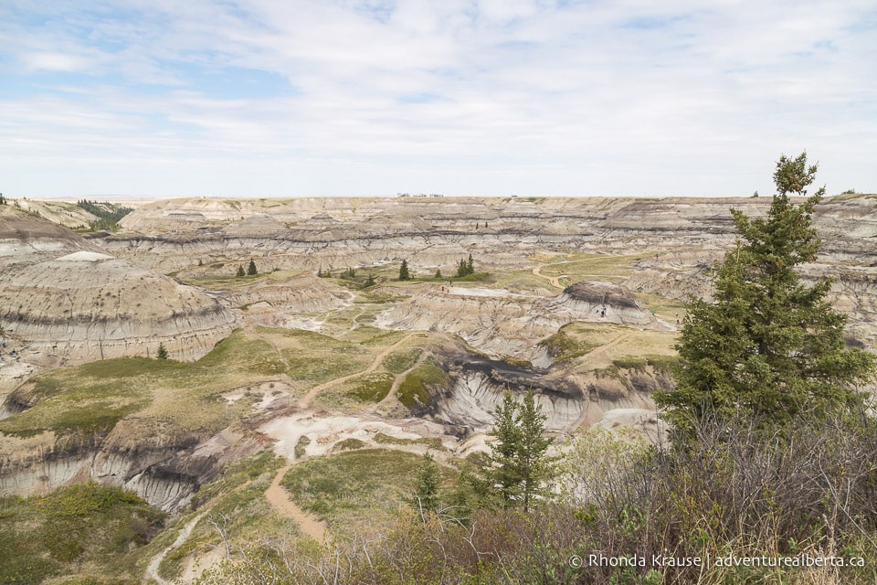
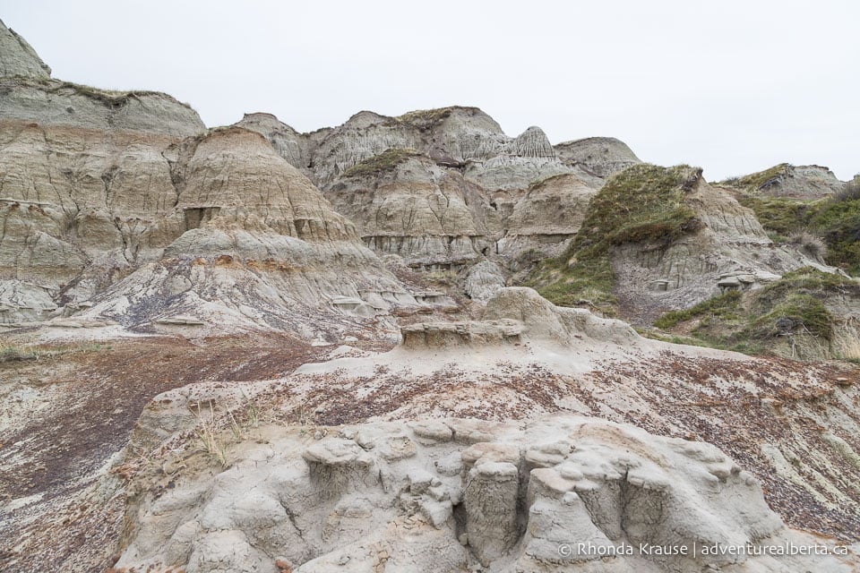
From inside this large u-shaped canyon you can see millions of years of geological history and ongoing erosion, getting an up-close look at the rock formations that give Drumheller its distinctive appearance.
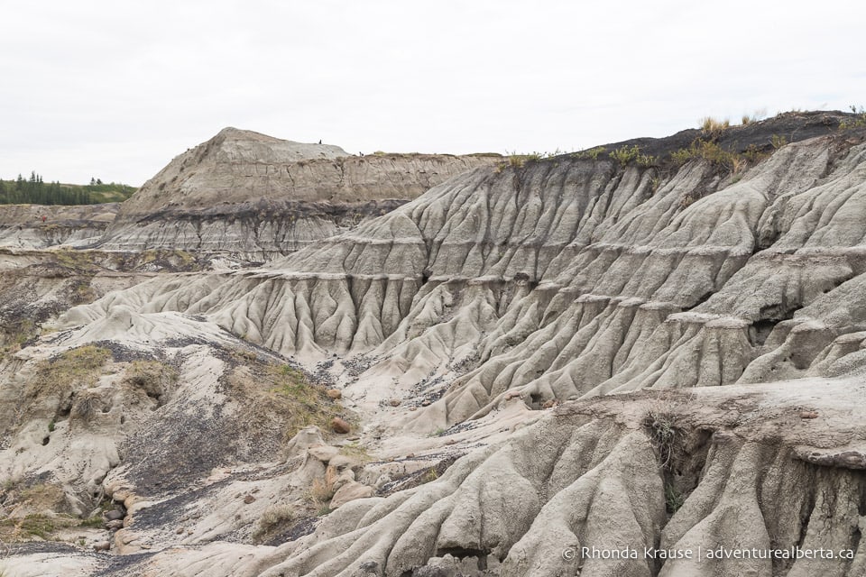
Horseshoe Canyon Hike
Distance: Depends on the route you take. The official trail leading down into the canyon is 0.8 km long (one way) and from there you can explore as far as you want.
Difficulty: Easy- moderate
Elevation Gain: Varies depending on your route. There’s approximately 30- 40 m elevation loss/gain going in and out of the canyon.
Surface: Gravel then packed dirt
Trail Type: Choose your own adventure. The official trail is an out and back, but there are many side trails going off in different directions.
Time: Varies
Trailhead: The Horseshoe Canyon parking lot and picnic area just off Township Road 284.
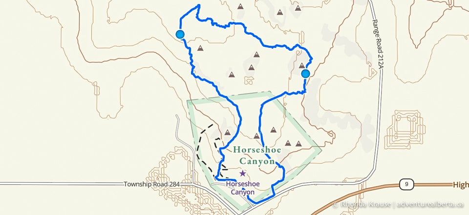
Horseshoe Canyon Trail Description
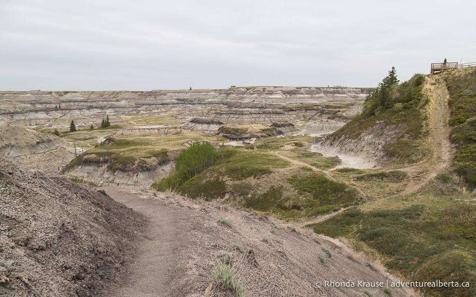
Drumheller’s Horseshoe Canyon is located about 15 minutes southwest of town. Near the parking lot there’s a picnic area and two viewpoints overlooking the canyon, as well as some signs with information about Horseshoe Canyon and how it was formed.
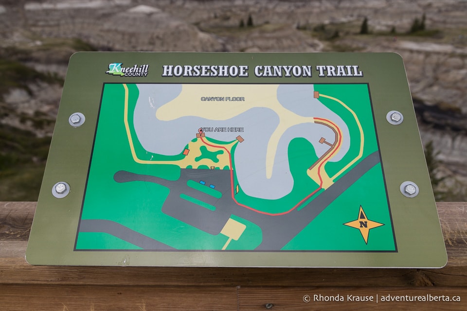
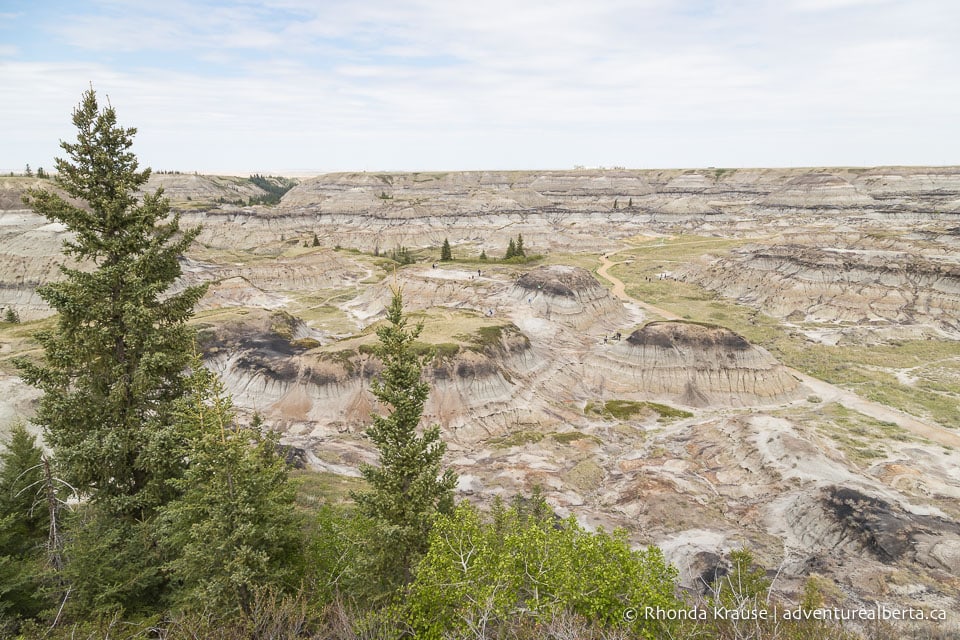
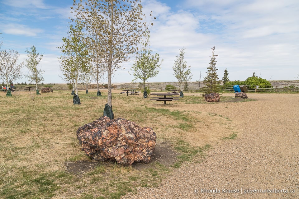
After enjoying the view from the canyon’s edge, walk over to the large billboard at the east end of the parking lot. The Horseshoe Canyon hike starts here. Follow the path as it turns left to run beside a road and soon you will arrive at the beginning of Horseshoe Canyon Trail.
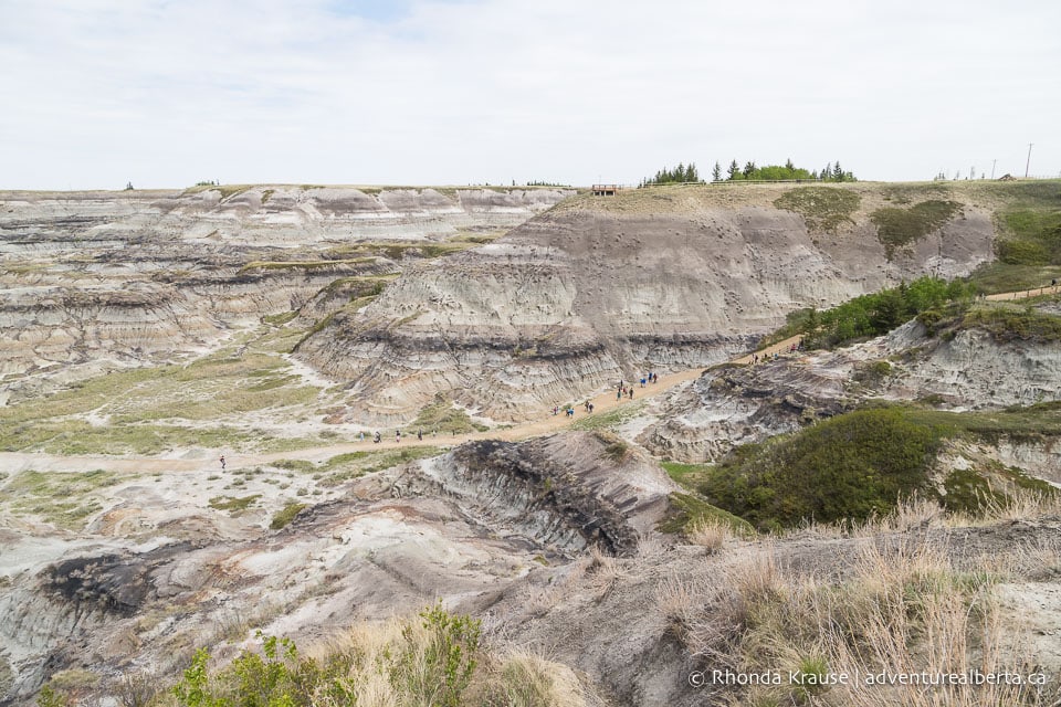
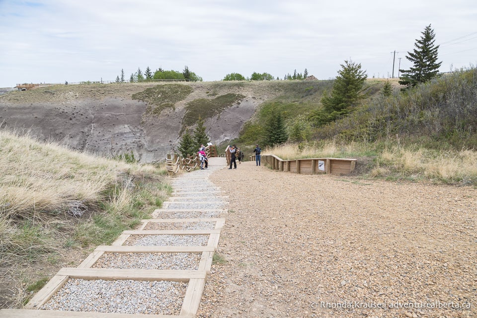
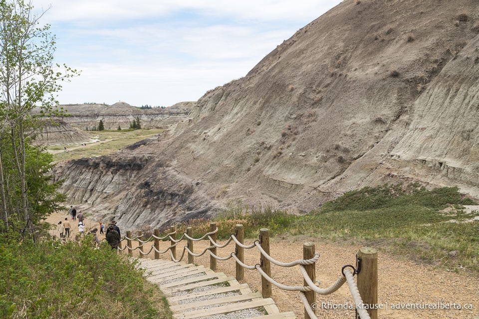
The descent into Horseshoe Canyon is via some steps or a wide gravel path. Soon after starting the walk into the canyon you’ll come to a wooden staircase that leads down to a lookout point. The view is not much different than you get from higher up, so feel free to skip the lookout and continue on the path.
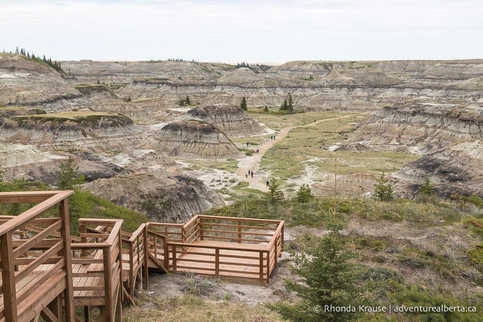
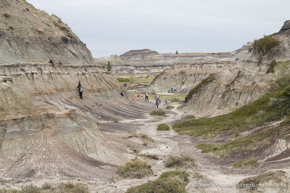
Past the viewpoint the trail curves then arrives at the bottom of the canyon. Badlands stretch out in all directions and people can be seen climbing the surrounding hills.
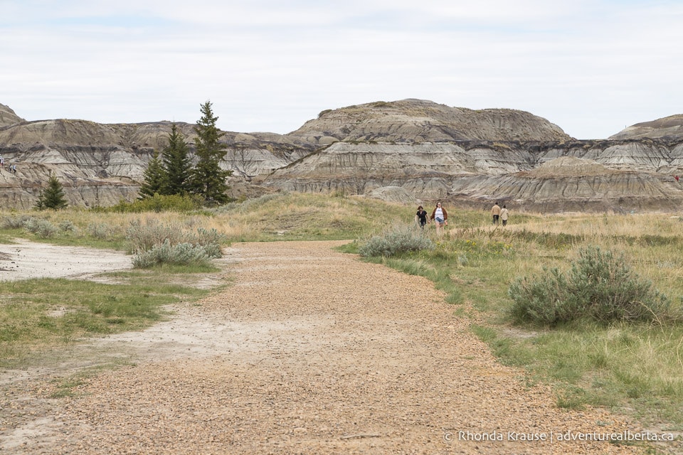
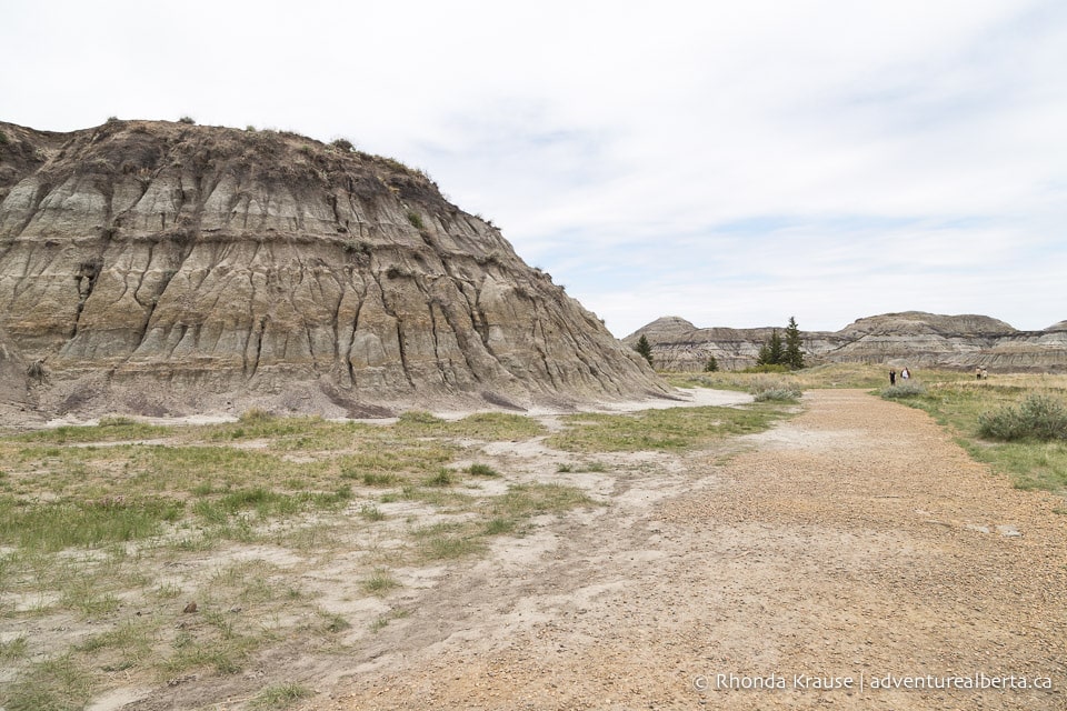
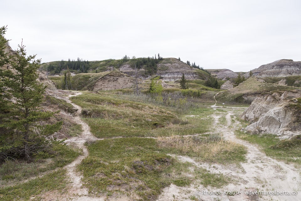
The gravel path proceeds to weave through an open area along the canyon floor before terminating a short distance later at the foot of some rock formations. At this point you can head off in any direction you choose to further explore Horseshoe Canyon.
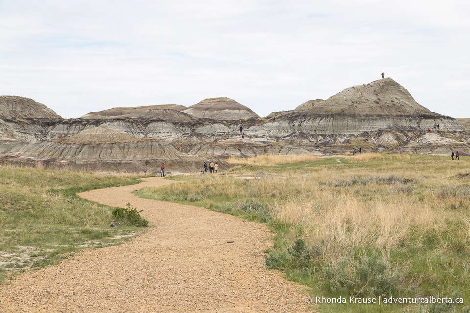
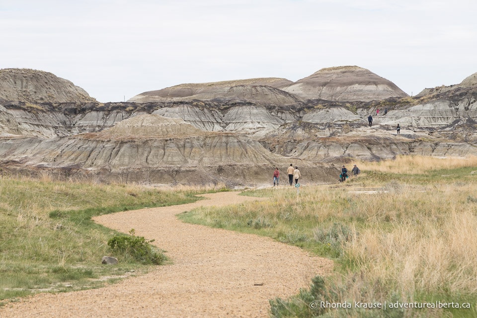
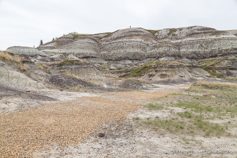
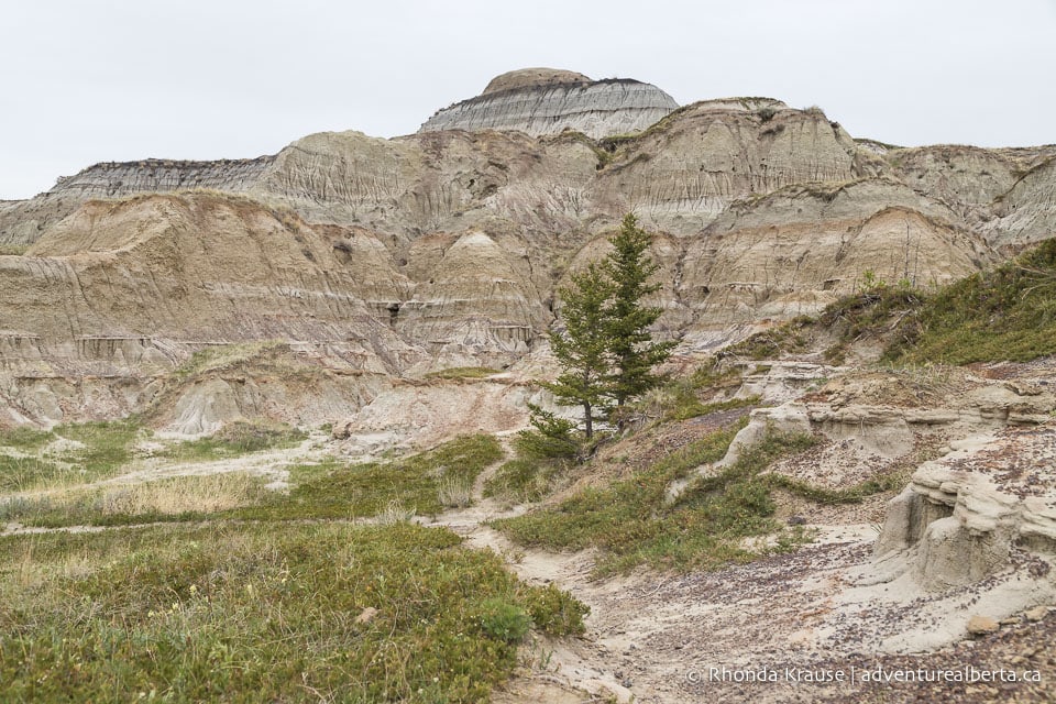
Since there isn’t one prescribed route to follow, every Horseshoe Canyon hike will be unique. You can climb up the hills, hike the canyon floor, or do a combination of both.
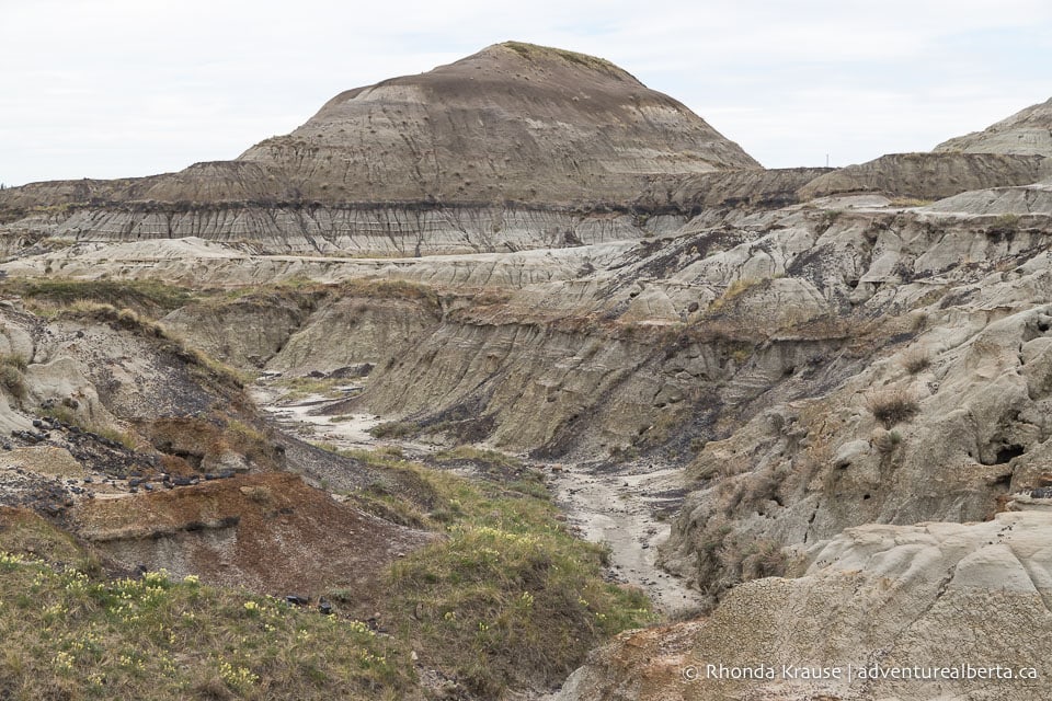
There are some well-worn tracks and drainage paths you can follow, or you can forge your own trail. Sticking to established trails and natural pathways will prevent further erosion of the land.
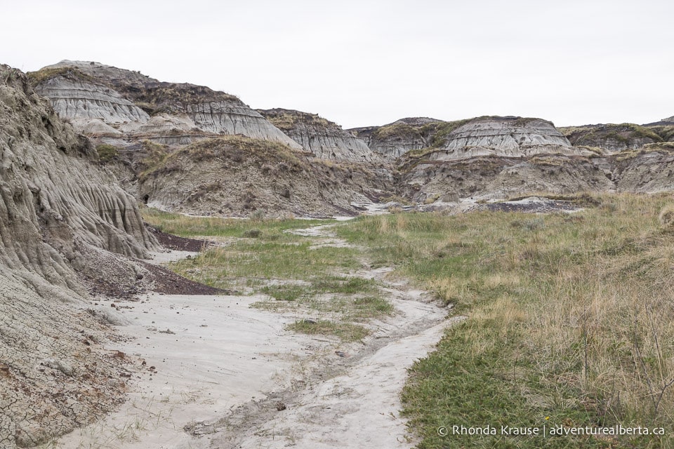
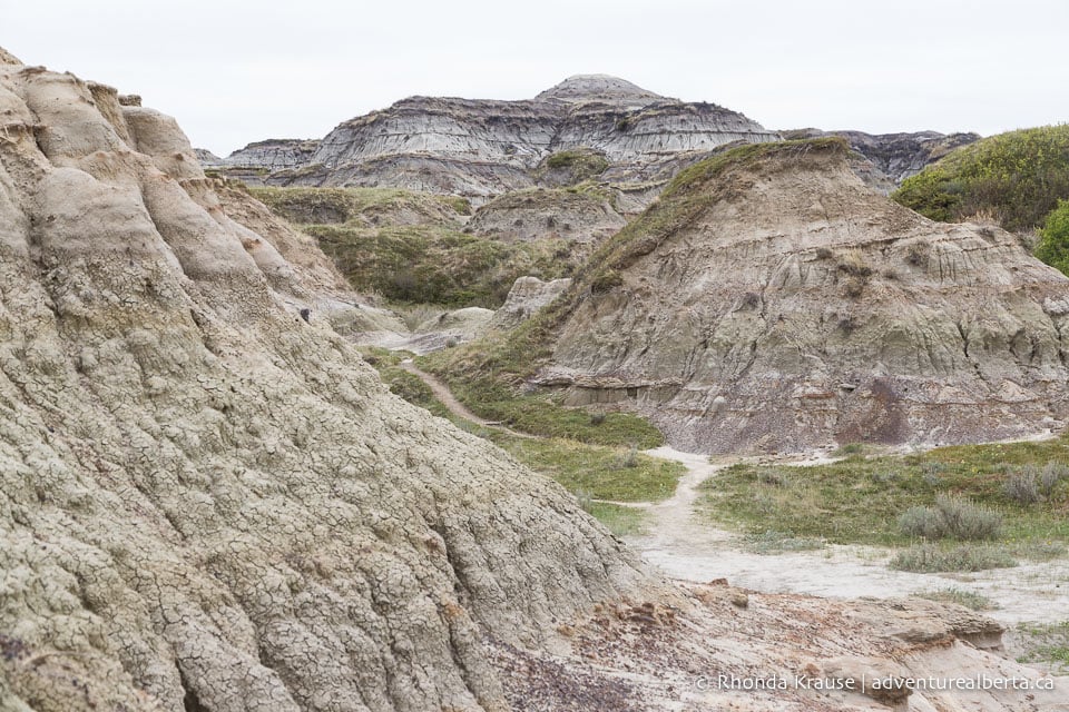
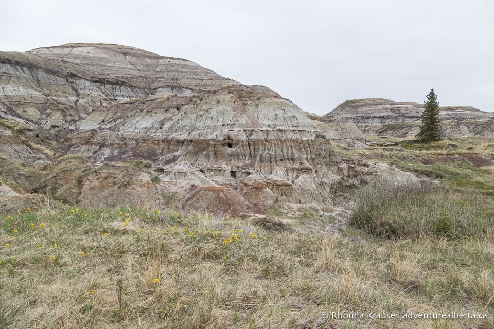
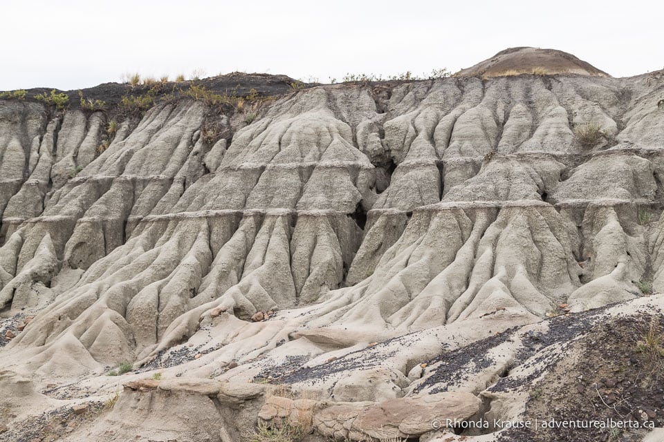
During your Horseshoe Canyon hike you’ll see different layers of rock that indicate major climatic and environmental changes. The tan-coloured stone at the base of the hills is from a time when the area had a cool climate and dry floodplains. Exposed in the upper half of the canyon are grey stone and black coal beds that signal a shift to warm wetlands. All these changes happened about 70 million years ago.
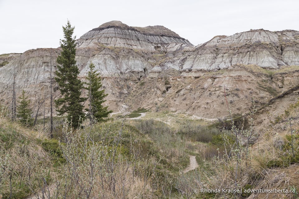
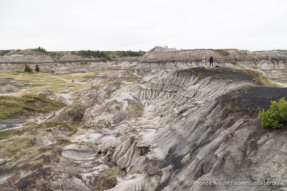
As for vegetation, Horseshoe Canyon has grasses, shrubs, and a few trees. You may also see cactus and some yellow wildflowers.
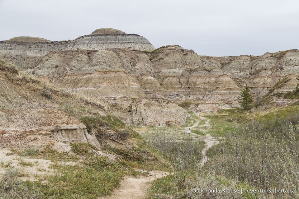
Once you’ve hiked as far as you want into Horseshoe Canyon, turn around and head back towards the observation decks at the south end.
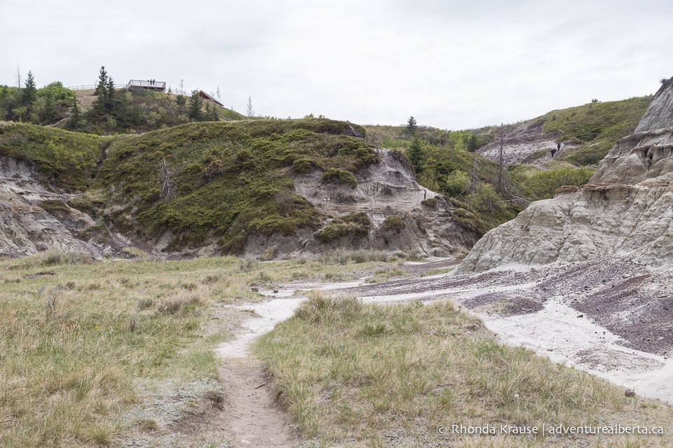
If you’re returning along the west side of the canyon at the end of your hike, you can exit the canyon at the southwest corner instead of the stairs at the trailhead. Look for a trail that passes through a little valley of rock formations below the west lookout then climbs steeply up to the rim. Your Horseshoe Canyon hike will end at the picnic area and parking lot.
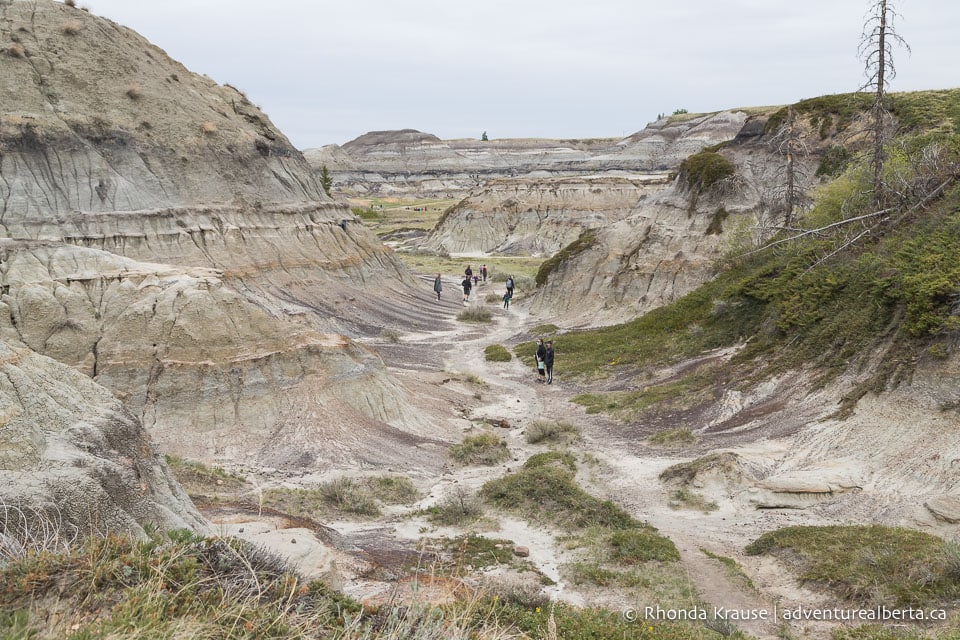
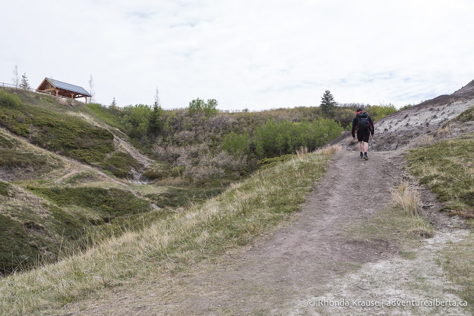
Review of the Horseshoe Canyon Hike
Horseshoe Canyon near Drumheller is a nice choice for a hike if you’re looking to experience a unique landscape or change things up from hiking in the mountains and forest.
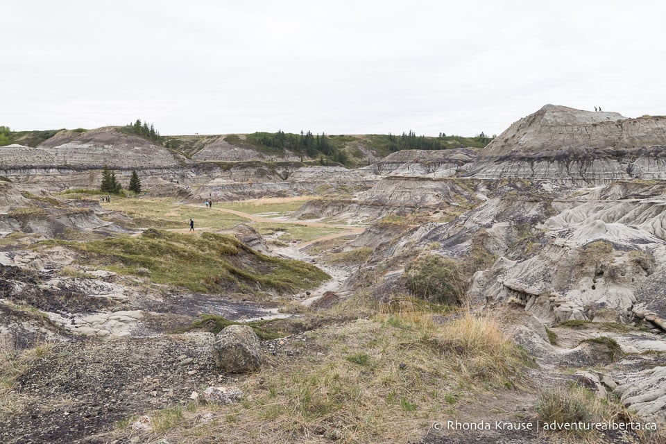
The Badlands can be intriguing to look at, especially if you have an interest in geology, but the scenery doesn’t change much from one part of the canyon to the next. The lack of distinct landmarks and a marked trail to follow means that hiking here requires a sense of direction, especially if venturing further into the canyon.
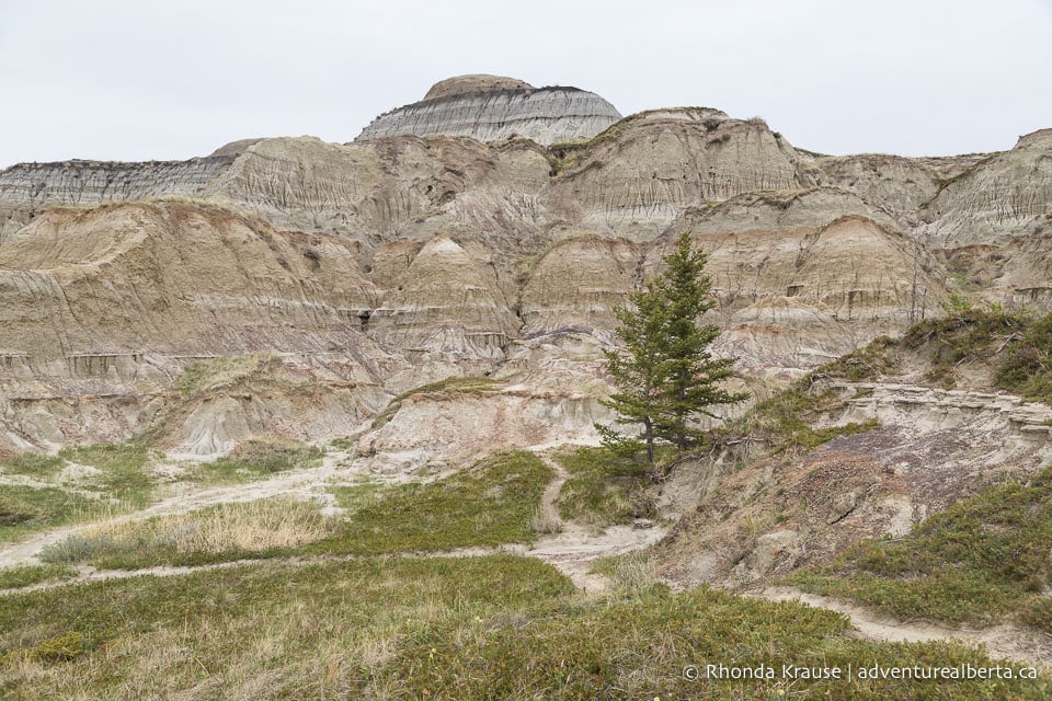
Even though Horseshoe Canyon is one of the most popular places to visit near Drumheller, once you’re in the canyon the crowd disperses. That’s the best thing about there not being a single route to follow- people are free to explore where they wish and have a more personal experience.
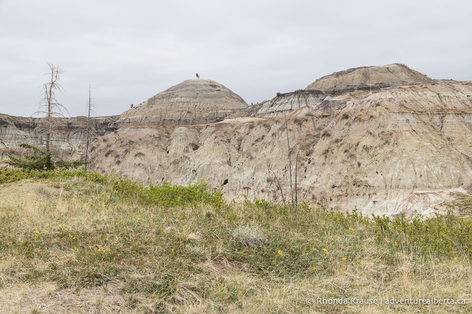
Pictures of Horseshoe Canyon
Here are a few more pictures of the Horseshoe Canyon hike near Drumheller.
Tips for Hiking Horseshoe Canyon Trail
Location: Horseshoe Canyon is located approximately 17 km southwest of Drumheller in Kneehill County.
Getting to the Horseshoe Canyon Trailhead: Horseshoe Canyon can be reached via Highway 9. From Drumheller, follow Highway 9 W to Township Road 284 then turn right. Take the first right and the entrance to the parking lot will be on the left.
Parking at Horseshoe Canyon: There is a fee of $2.00 to park at the canyon, starting in mid-May and ending after the September long weekend. County staff will be on-site to collect payment. For up to date information visit the Kneehill County website.
Best Time to Hike Horseshoe Canyon: This hike is best done from late spring through fall. It’s not recommended to hike here after a period of rain or when the ground is wet from melting snow because the rocks get really slippery. The canyon gets very hot in the summer and offers no shade so overcast days are more comfortable for hiking.
Facilities: There are outhouses in the parking lot and picnic tables near the overlooks. A small, privately owned campground/RV park is across the road.
Visitor Guidelines and Safety: Keep aware of your surroundings and the direction you’re hiking if exploring beyond the short main trail. There is limited cell reception in the canyon.
- Do not deface rock formations and disturb wildlife.
- Keep pets on a leash.
- Bicycles are not allowed in the canyon.
- Drones are prohibited.
- Carry out all your garbage and deposit in the containers provided at the picnic area.
Gear and What to Bring: This hike can be done in regular running shoes but make sure they have good grips if you plan on climbing the hills.
- Bring plenty of water and wear sun protection.
Information was updated June 2022, but can change without notice.
Accommodations in Drumheller
For your convenience, here is a list of hotels in Drumheller. Please consider booking your Drumheller accommodations through the included link. It costs nothing extra and helps support this website. Thank you!
Shop for Alberta & Adventure Themed Merchandise
Visit our store for more Alberta, nature, and adventure inspired products.


