Purchases made through links earn us a small commission, at no extra cost to you.
The best places to go bike riding in Edmonton can be found right in the middle of the city, in Edmonton’s river valley.
This sprawling park system along the North Saskatchewan River features over 160 km of maintained multi-use paths and countless other dirt trails, providing plenty of options for biking in Edmonton’s river valley.
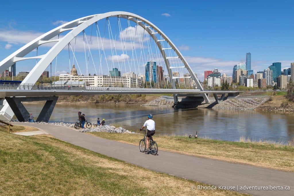
Bike Trails in Edmonton- River Valley Trails and Routes
Whether you’re an adventurous mountain biker or a casual cyclist looking for a scenic ride, you’ll find several enjoyable bike trails in Edmonton that meet your needs.
To help you discover Edmonton’s bike trails, here are a few routes you can ride on Edmonton’s river valley trails.
Emily Murphy Park to Low Level Bridge (Loop)
Start and Finish Point: Emily Murphy Park (other convenient starting points on the route could be Kinsmen Park or Victoria Park)
Distance: 10.7 km
Elevation Gain: 46 m
Time Required: 1 hr- 1.5 hr

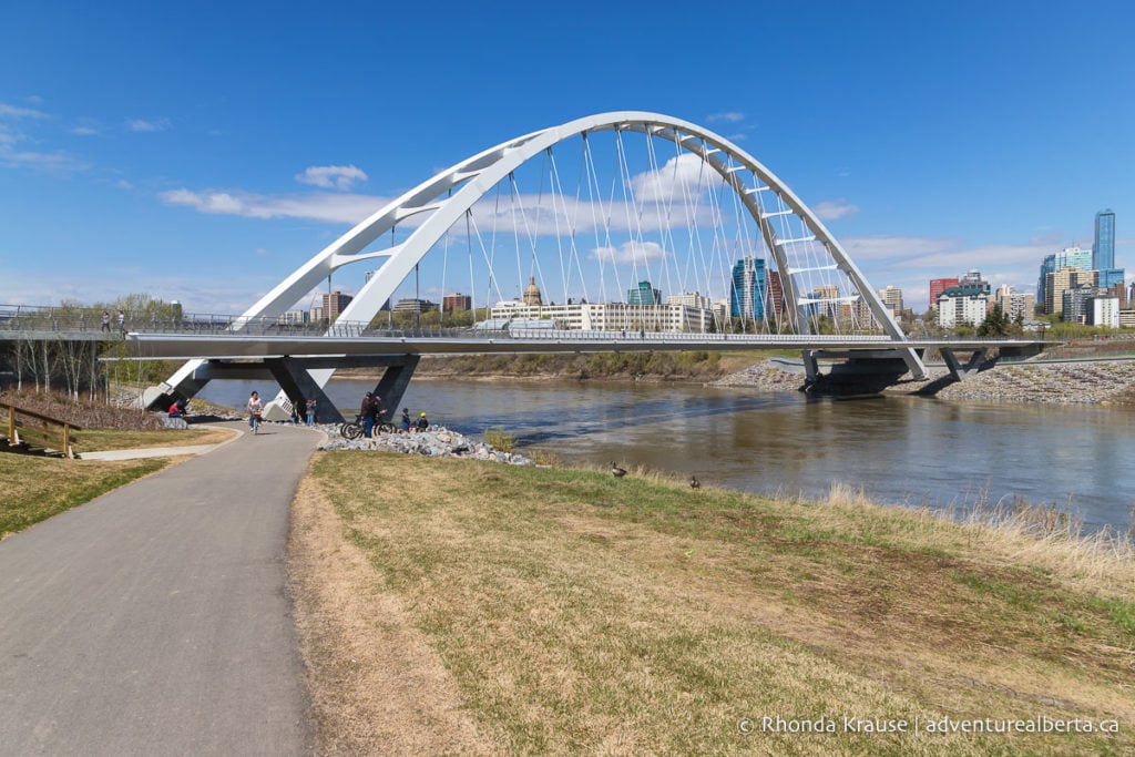
This route is great if you’re looking for an easy ride with beautiful city views. Along the way there are several scenic stopping points to admire the skyline of downtown Edmonton and the photogenic Walterdale Bridge. Portions of the trail are treed on both sides but there are also some open sections where you can view the river. It’s the perfect mix of city and nature!
Route Description
This route starts in the heart of Edmonton’s river valley at Emily Murphy Park. The trail runs alongside the parking lot, so it’ll be a quick and easy start to your ride.
This ride begins by heading east on a dirt trail into the forest. It follows near the North Saskatchewan River and when there’s an opening in the trees you can see some high-rise buildings, the High Level Bridge, and the dome of the Legislature.
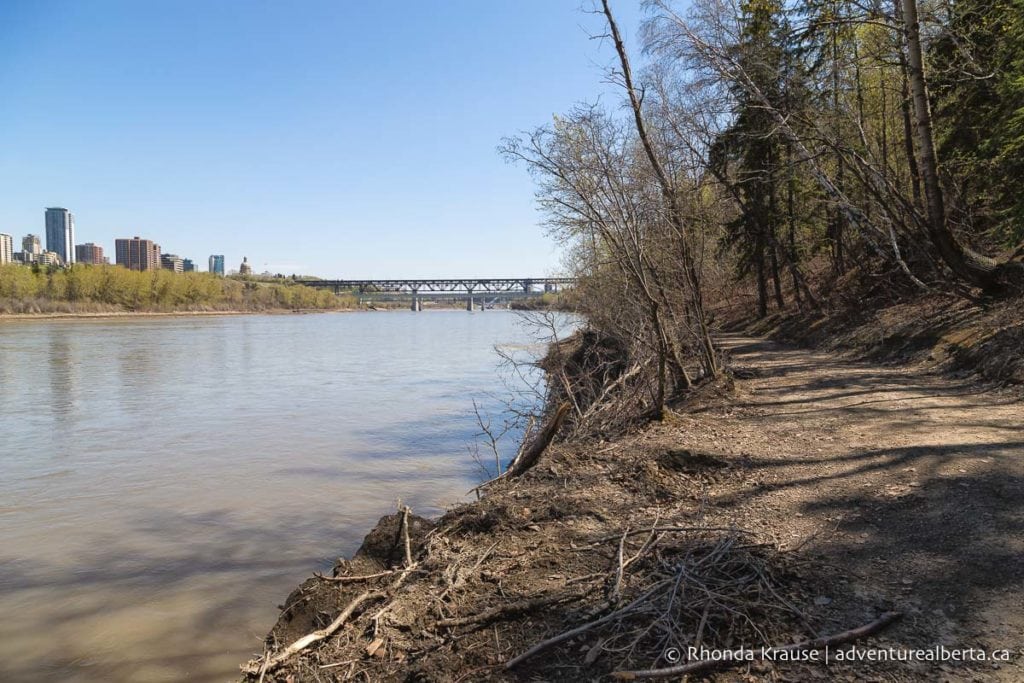
Further ahead the trail moves away from the riverbank and becomes more densely treed as it begins to pass through Kinsmen Park.
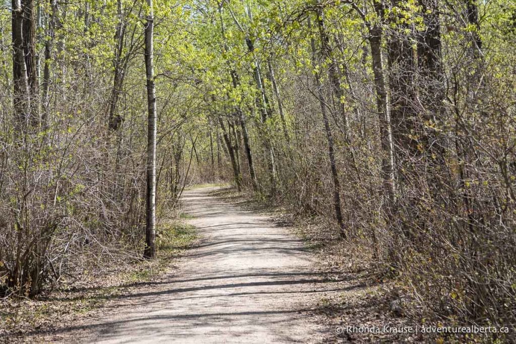
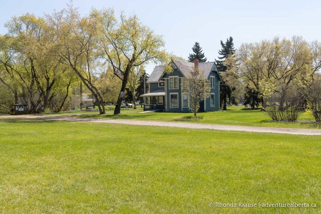
Once you reach the LRT Bridge, the trail ends and joins up with the Kinsmen Park road. Ride on the road past the Huskie House and Kinsmen Club until a bend where you can rejoin the trail. This graveled path goes behind the John Walter Museum then becomes paved at the Walterdale Bridge.
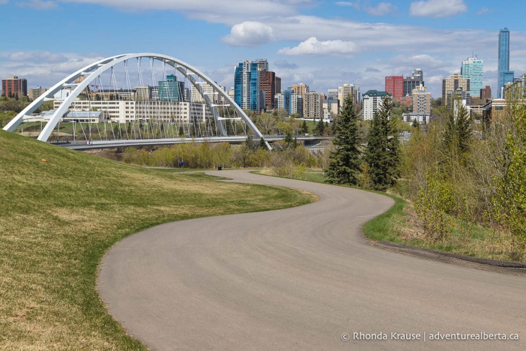
Continue straight under the Walterdale Bridge then follow the wide, paved path up a gentle slope. You’ll want to stop at some point here to look back and enjoy the view of Walterdale Bridge backed by downtown. It’s become quite a popular photo spot in recent years!
At the top of the hill the trail passes through Queen Elizabeth Park before going by a small neighbourhood then entering into the forested Nellie McClung Park.
Near the end of the park the trail splits and there’s an option to continue straight or go up to Scona Road. If you go to Scona Road, take the sidewalk or cut through the parking lot at the Old Timers Cabin then turn left onto 95a Ave. Straight ahead there’s a viewpoint of downtown Edmonton, the river, and James MacDonald Bridge. Keeping straight at the fork will also bring you to this viewpoint.
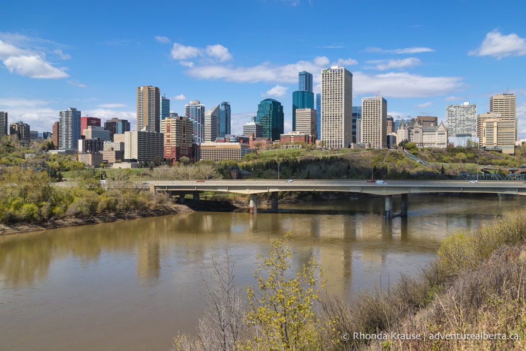
Here you will get back on the paved trail and continue towards downtown. Pass under the James MacDonald Bridge then cross the Low Level Bridge.
At the end of the Low Level Bridge turn left. Follow the paved trail to a junction where you will then keep left (there’s a sign indicating the way to Alberta Government Centre).
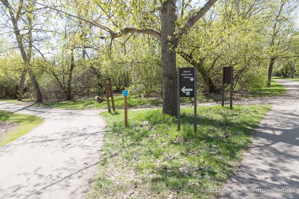
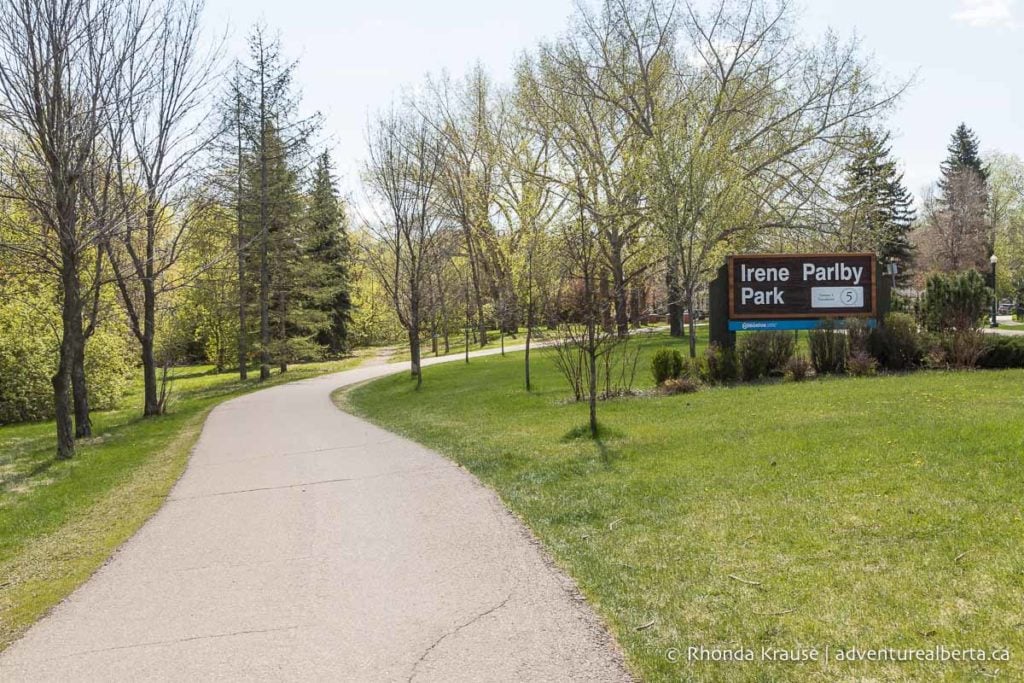
The trail soon arrives at Irene Parlby Park. Here you’ll see an option to stay on the paved path or split off onto a dirt trail. Both will take you to the same place but the dirt trail follows closer to the river and the paved trail passes through the Rossdale neighbourhood.
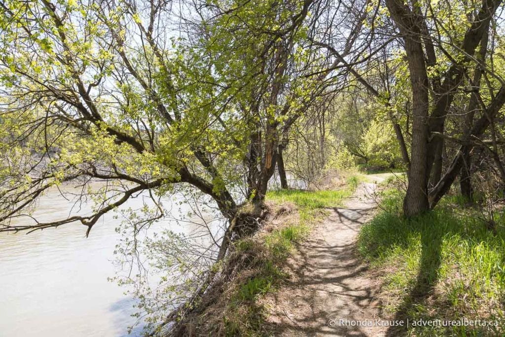
If you take the dirt trail you’ll be on a narrow track that gets close to the edge of the riverbank in some places. There are also a few little humps to ride over and (at the time of this writing) a wooden ramp over a fallen tree. Overall though, nothing difficult and the trail soon meets up with the paved path.
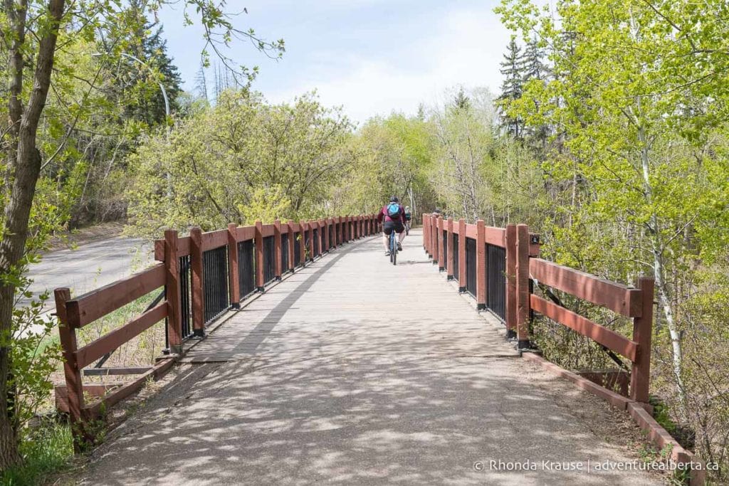
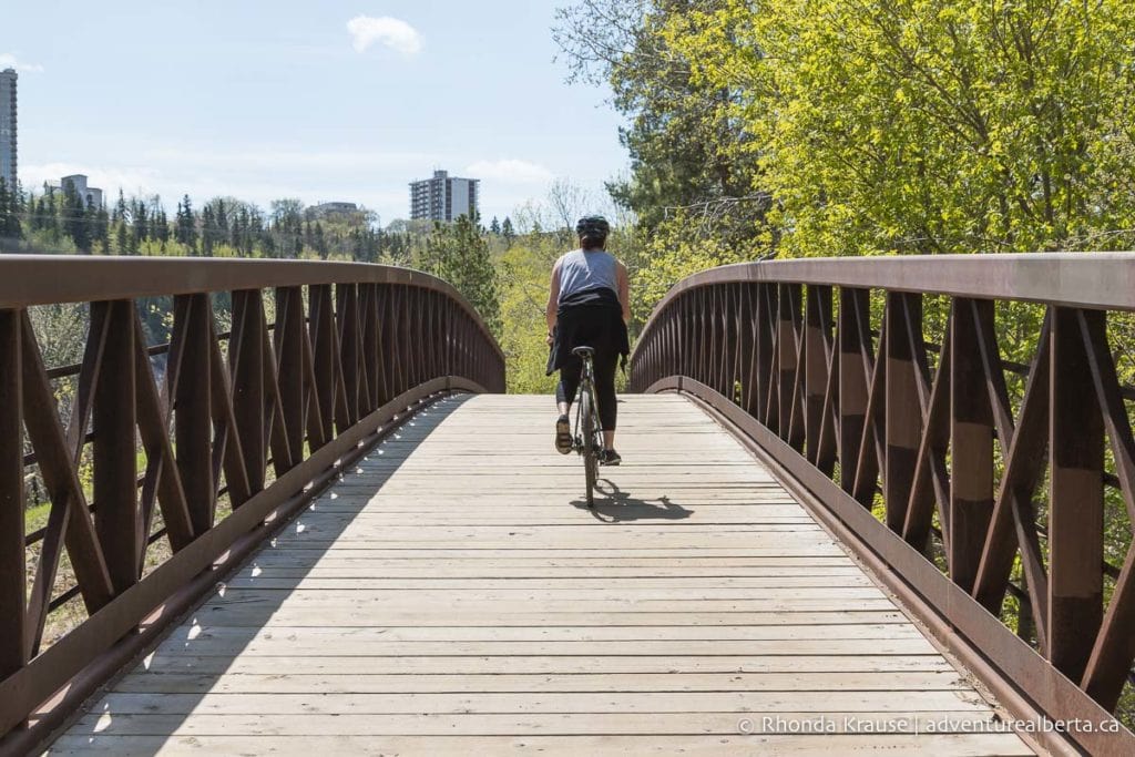
Now at the end of Irene Parlby Park and the edge of the Rossdale neighbourhood, you’ll see a sign and a fence on the left. Turn here to continue along the river. You’ll cross over a wood and metal bridge before a bend in the riverbank takes you towards the Walterdale Bridge.
Continue straight under the Walterdale Bridge and turn left onto the path that follows alongside River Valley Rd. This busy multi-use path passes by the Royal Glenora Club and Victoria Park on the way to the Groat Road Bridge.
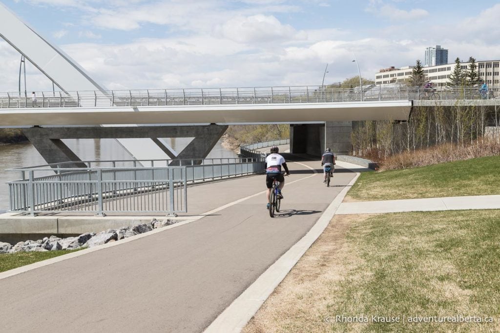
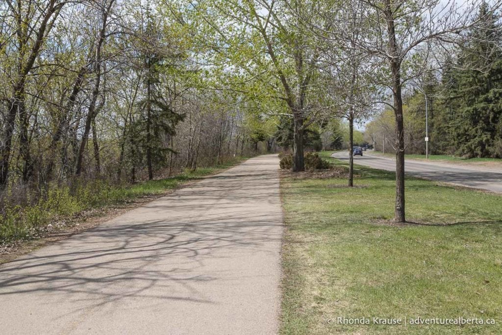
To complete the loop, cross the Groat Road Bridge (turn right before going under it). At the end of the bridge you’ll see a set of stairs leading down to Emily Murphy Park. You can ride down the grass hill here or follow the sidewalk back to the road entering the park.
Extend Your Ride
If you’d like to continue riding, at the staircase leading down to Emily Murphy Park there’s a gravel trail that will take you to Hawrelak Park. Follow it under the Groat Road Bridge and along the river. You’ll notice two paths that run practically side by side- just make sure you’re on the shared use trail.
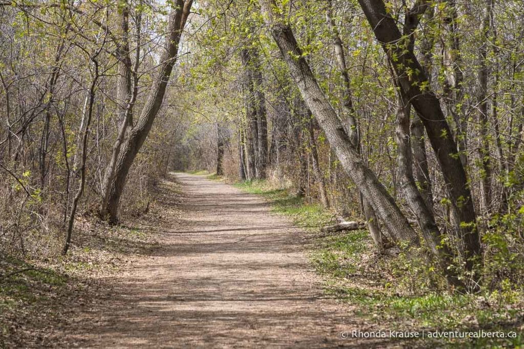
This treed trail will skirt around the Royal Mayfair Golf Club (no views of it) then come up a small hill into Hawrelak Park.
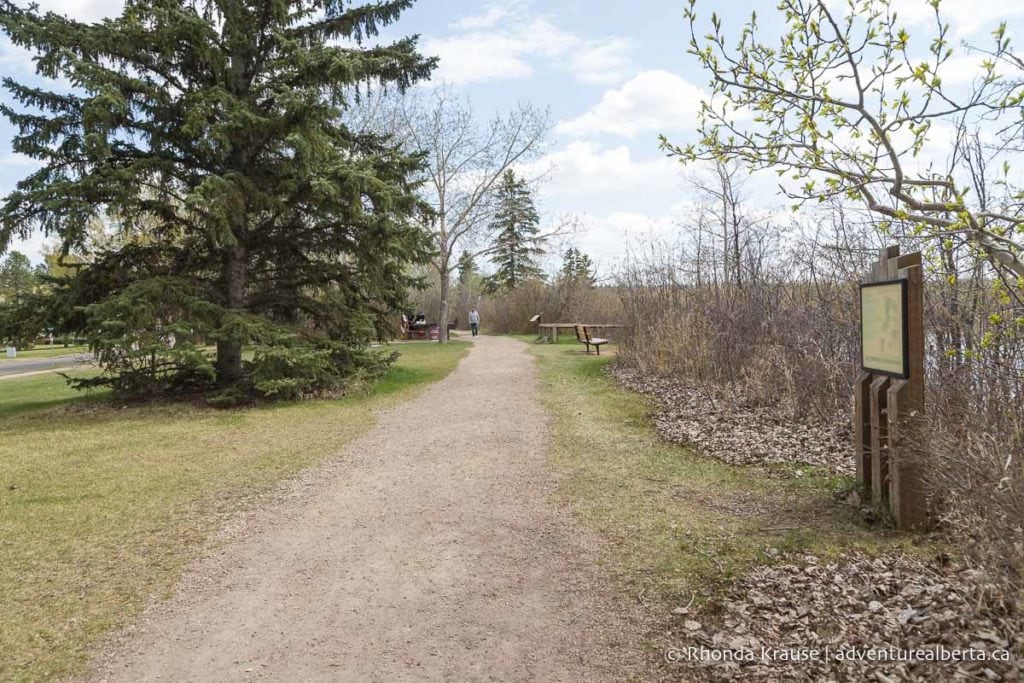
Follow the trail along the river until the Buena Vista/Hawrelak Park Footbridge. Here you’ll turn left to continue riding around the perimeter of Hawrelak Park. Once you reach the park entrance, leave the park via the sidewalk and follow the blue bike route signs. This will take you back to Emily Murphy Park.
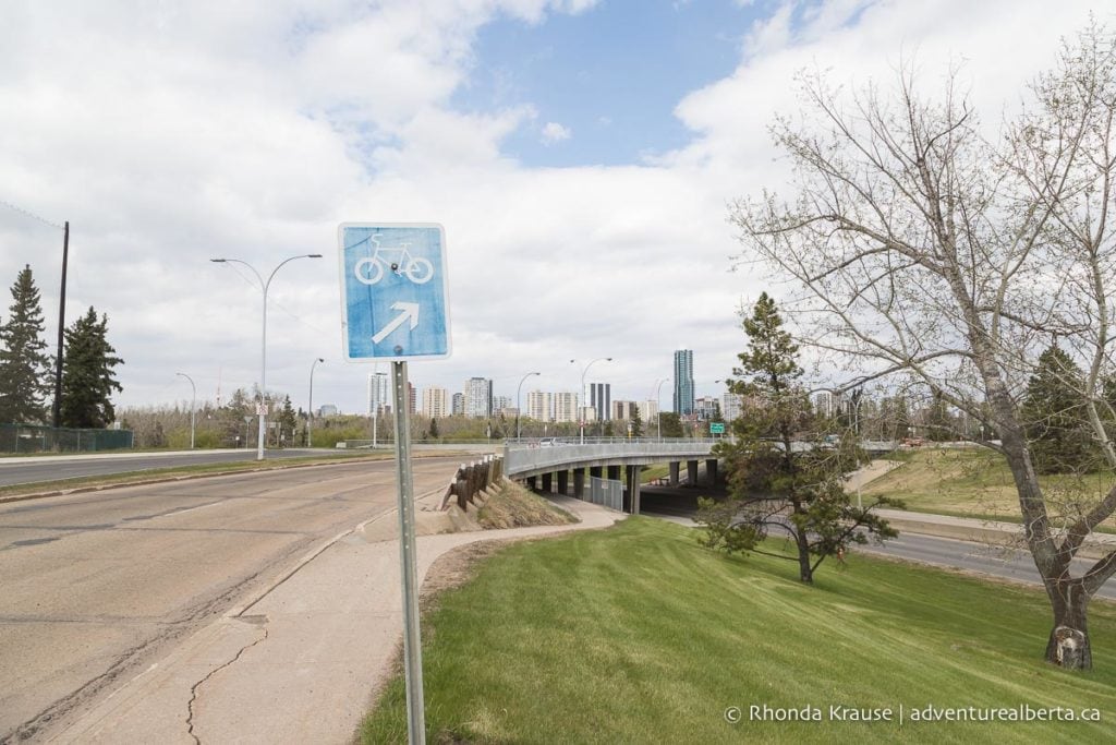
Additional Distance: 4.6 km
Elevation Gain: 14 m
Time Required: 20- 30 minutes

Gold Bar Park to Dawson Park (Loop)
Start and Finish Point: Gold Bar Park (other convenient starting points on the route could be Capilano Park or Dawson Park)
Distance: 10.9 km
Elevation Gain: 65 m
Time Required: 1 hr 15 min- 1.5 hours

This route is an excellent choice if you want to be surrounded by trees and ride close to the river. There’s a mix of paved and dirt trails and the two river crossings present opportunities to admire the city skyline. The route also passes alongside two golf courses and through some off-leash dog areas.
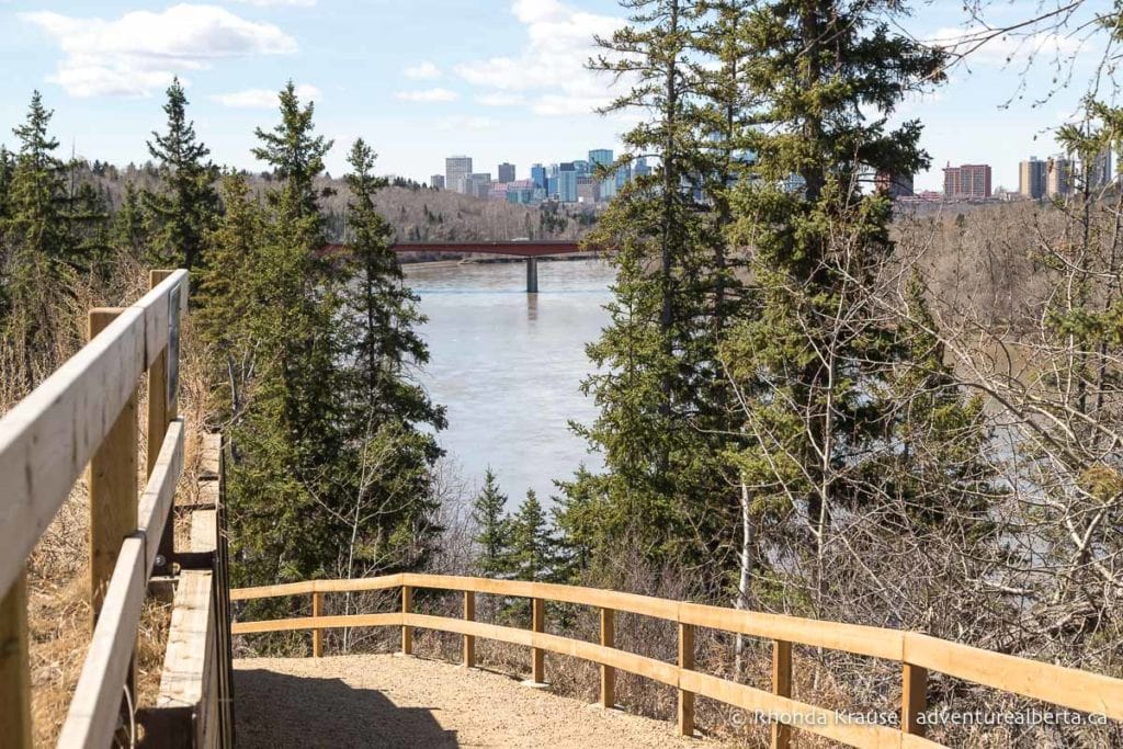
Route Description
This ride starts in Gold Bar Park on the east end of Edmonton’s River Valley. The trail leaves from the north corner of the parking lot and is marked with a trail map of the area.
From the trailhead ride straight towards the river, switching onto the non-paved trail at the first fork. Soon you will come to an intersection where you need to turn left to ride west along the North Saskatchewan River.
The dirt trail is treed on both sides but offers glimpses of the river as it passes behind the wastewater treatment plant.
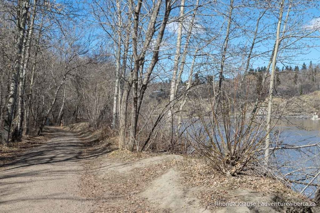
The trail then passes under the Capilano Footbridge into Capilano Park and soon makes a slight turn at the restroom building. Just past the restroom the dirt trail meets up with a paved path. At this point you’ll be making a gentle climb through an open area of Capilano Park.
Near the top of the hill you’ll have the option to continue on the paved path or rejoin the dirt trail. Both will take you to the same place but the paved trail is less direct, as it goes along Hardisty Drive then circles back down to the river and Capilano Bridge.
To be more immersed in nature, keep straight at the fork at the top of the hill. The gravel trail runs alongside a wooden fence before heading downhill into the shade of the forest.
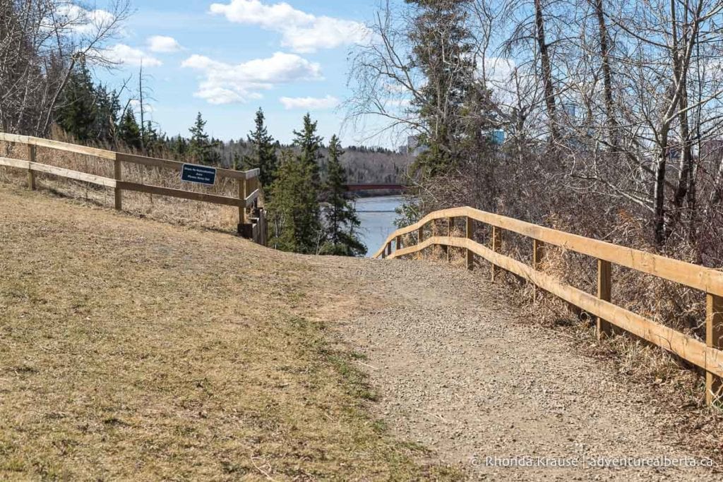
The trail then passes through an area of conifer trees before coming up at the Capilano Bridge. There are a few different dirt tracks here so try to keep on the wider trail when it makes a slight bend to the left. If you go straight there’s a steep hill that you’ll likely be pushing your bike up. Don’t worry about getting lost though because the trails will emerge from the forest near the Capilano Bridge/Wayne Gretzky Drive.
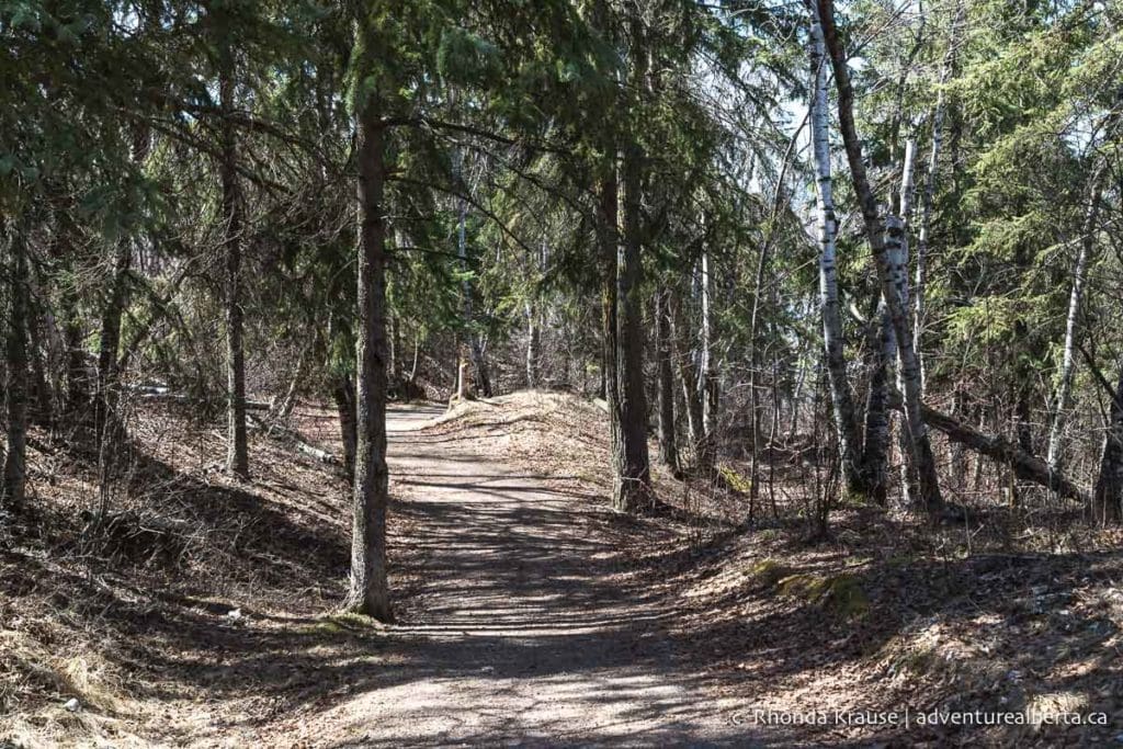
Next up you’ll be riding on a paved trail under the Capilano Bridge and along the river towards Riverside Golf Course. Near the golf course the trail goes up a hill but it’s more of a steady climb than a steep one.
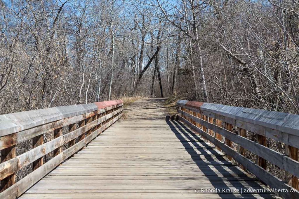
Continuing through the forest and alongside the golf course you’ll eventually come to a wooden bridge before arriving at Rowland Road. Here you’ll ride on the sidewalk down Rowland Road towards the river. It’s fairly steep and you can get some good speed but remember that you could be sharing the walkway with pedestrians.
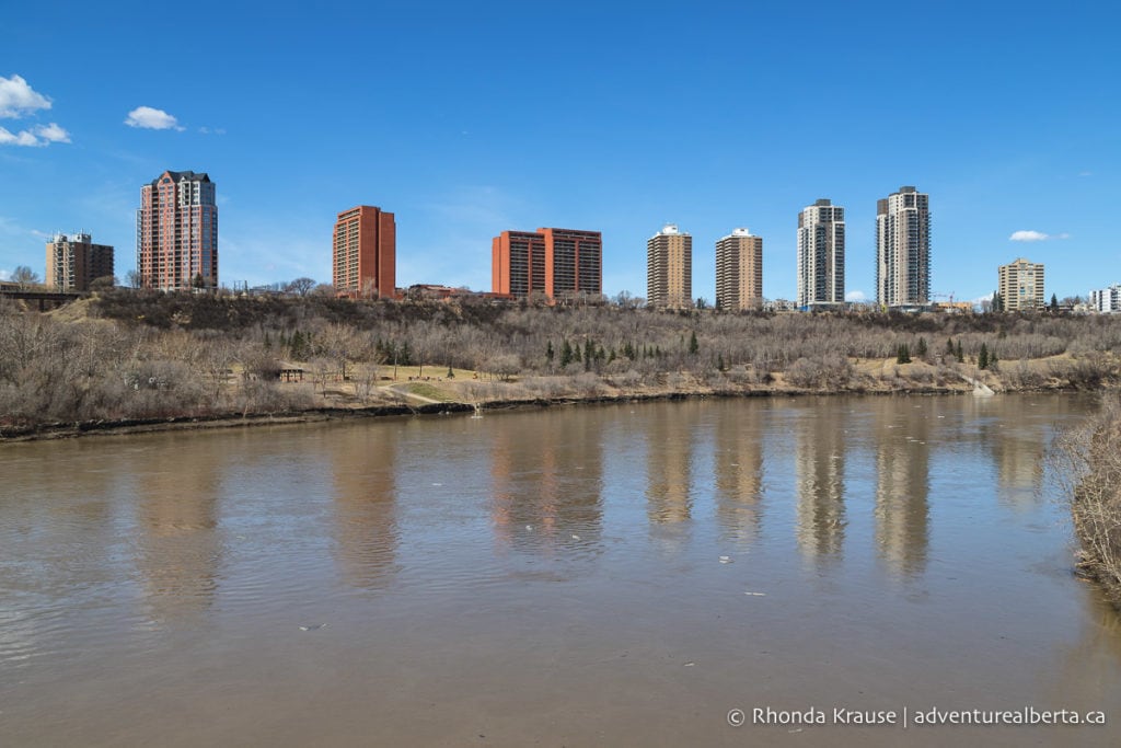
At the bottom of the hill you’ll pass the entrance to Riverside Golf Course. Continue straight across Dawson Bridge. From the bridge you’ll get a nice view of the North Saskatchewan River and some high-rise apartments over looking the valley.
At the end of the bridge turn right and continue to Dawson Park where there are some public restrooms if you need them.
From Dawson Park you’ll be heading back east along the north side of the river. There is a paved trail and a gravel trail that run next to each other through the park. Choose the gravel trail if you want to be closer to the river.
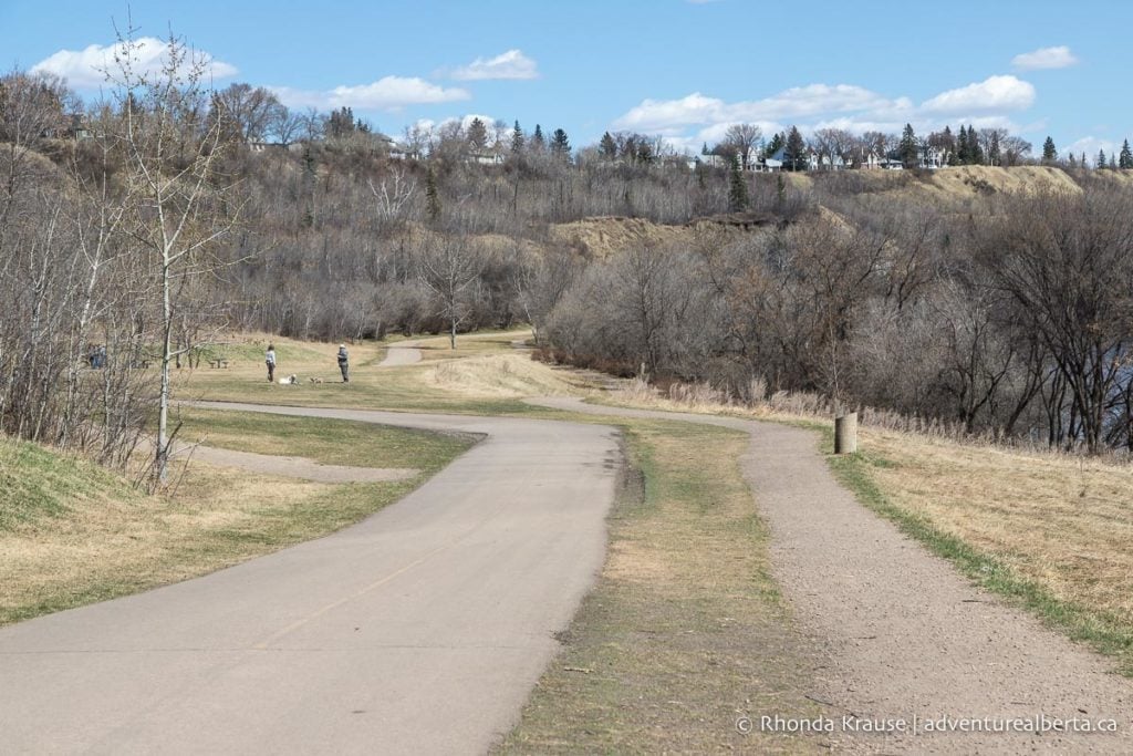
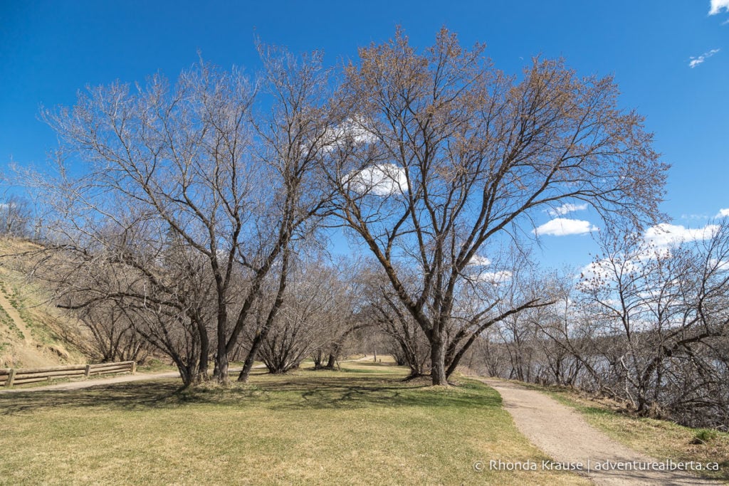
Just past the entrance to Kinnaird Ravine the paved trail and gravel trail head off in different directions. Keep right on the unpaved path for a scenic ride along the riverbank (the paved trail will go uphill to Concordia University).
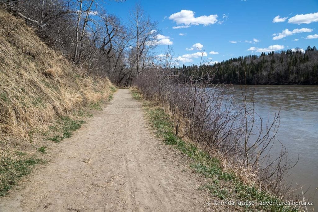
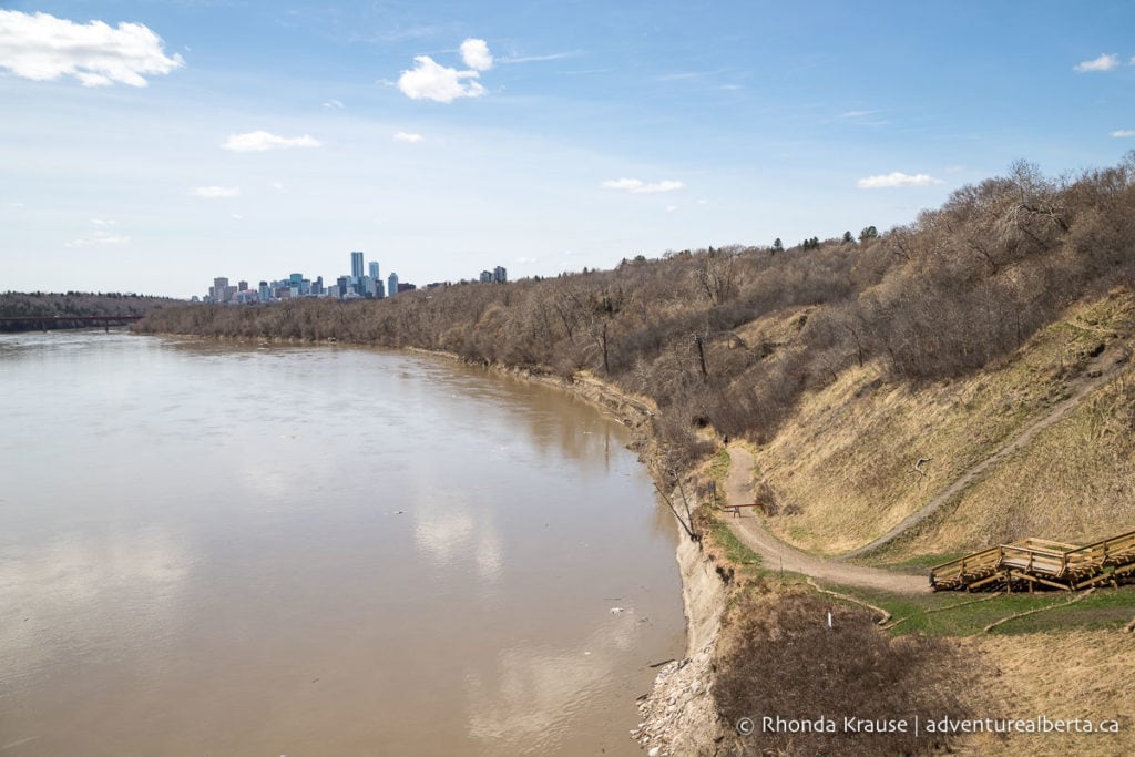
This section of trail has nice unobstructed views of the river before going under the Capilano Bridge and entering into the trees as it passes by the Highlands Golf Club. The trail remains close to the river all the way to the Capilano Footbridge.
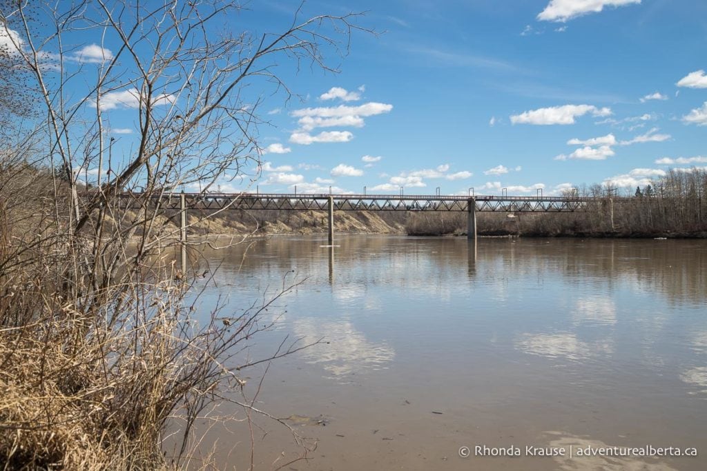
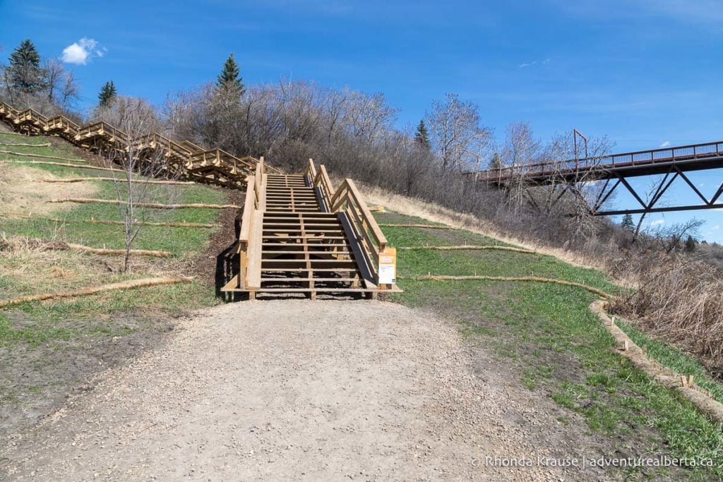
At the Capilano Footbridge there’s a staircase with ramps up the side so you can push your bike up. Cross the bridge and return back to Capilano Park. From here stay straight on the paved path to go past the wastewater treatment plant and return to Gold Bar Park.
Extend Your Ride
For a little longer ride you could go to the Strathcona Science Park and back. Take the same dirt trail from the Gold Bar parking lot as before, but this time turn right at the river. Follow the path along the river to the Ainsworth Dyer Footbridge then cross over it to Rundle Park.
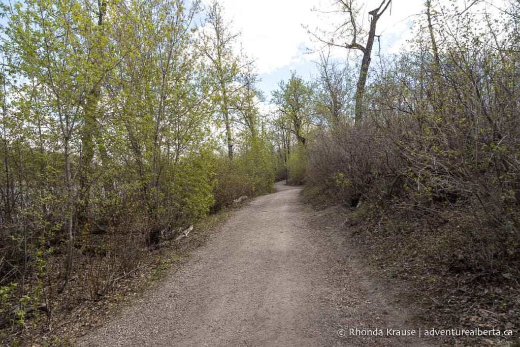
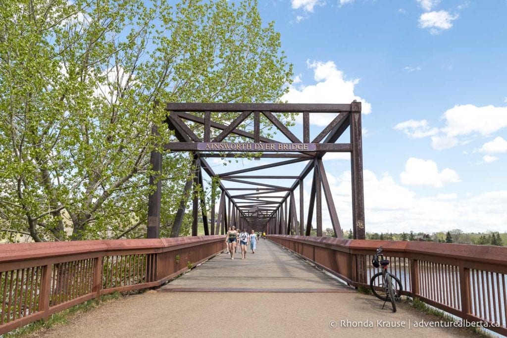
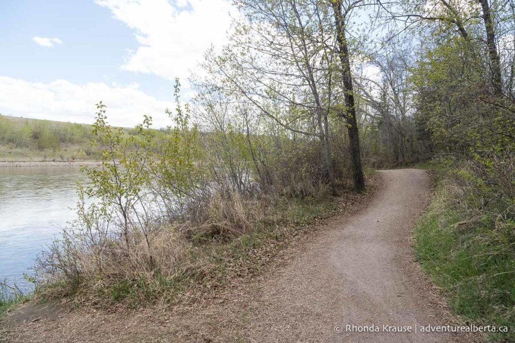
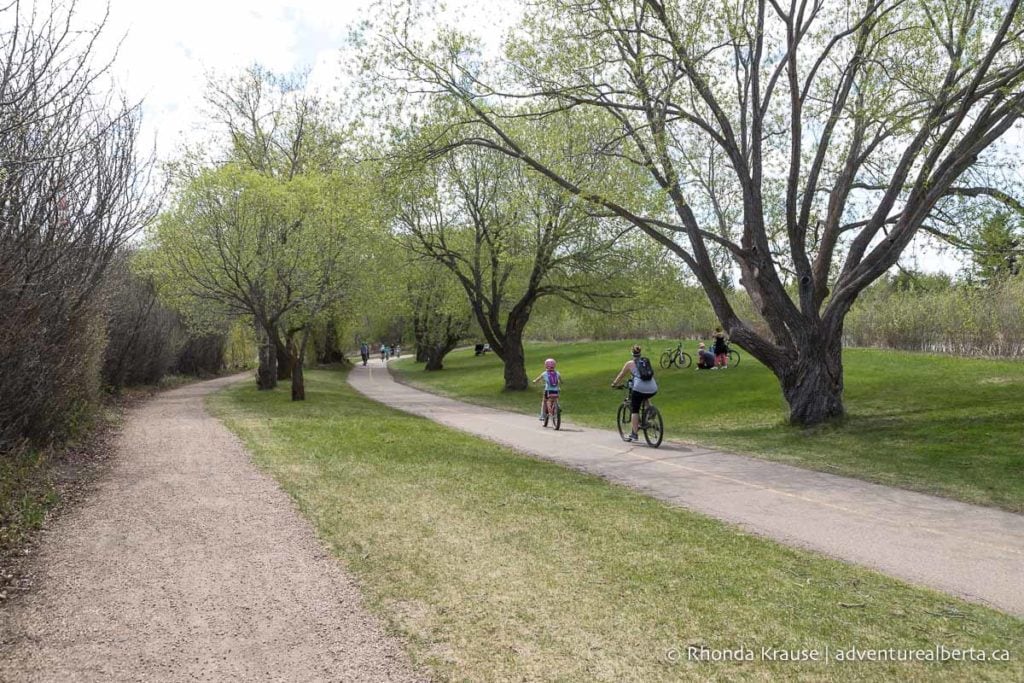
Once in Rundle Park keep straight on the paved path until it turns to run between the river and the pond. There’s a dirt trail that runs almost beside it with several opportunities to switch over if you want, or you can save it for the ride back.
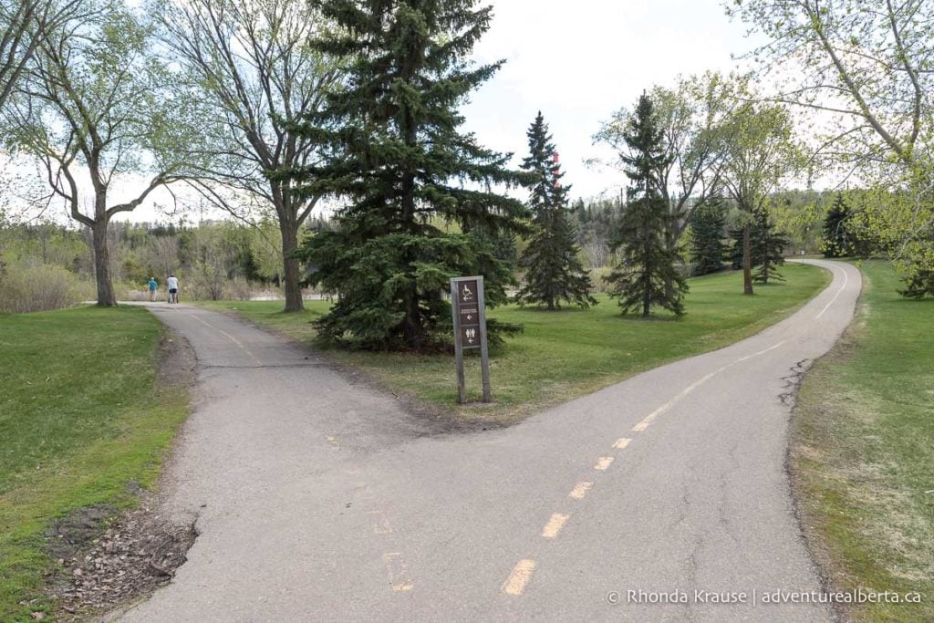
Once you reach the Cloverbar Footbridge, ride across it to the Strathcona Science Park. You can check out the bike trails here if you want or turn around and go back to Rundle Park.
After re-entering Rundle Park you can join the dirt trail at the bottom of the hill after the bridge. Once you get on the path take the first right to return in the direction you came. Stay on this trail until it rejoins the paved path. Continue retracing your route back across the bridge to Gold Bar Park. This time stay on the paved path and follow the tree line back to the parking lot.
Additional Distance: 7.5 km
Elevation Gain: 16 m
Time Required: 40- 60 minutes

Mill Creek Ravine to Muttart Conservatory (Loop)
Start and Finish Point: Argyll toboggan hill (69 Ave and 84 St, where Argyll Park meets Mill Creek Ravine Park)
Distance: 11.3 km
Elevation Gain: 70 m
Time Required: 1 hr 15 min- 1.5 hours

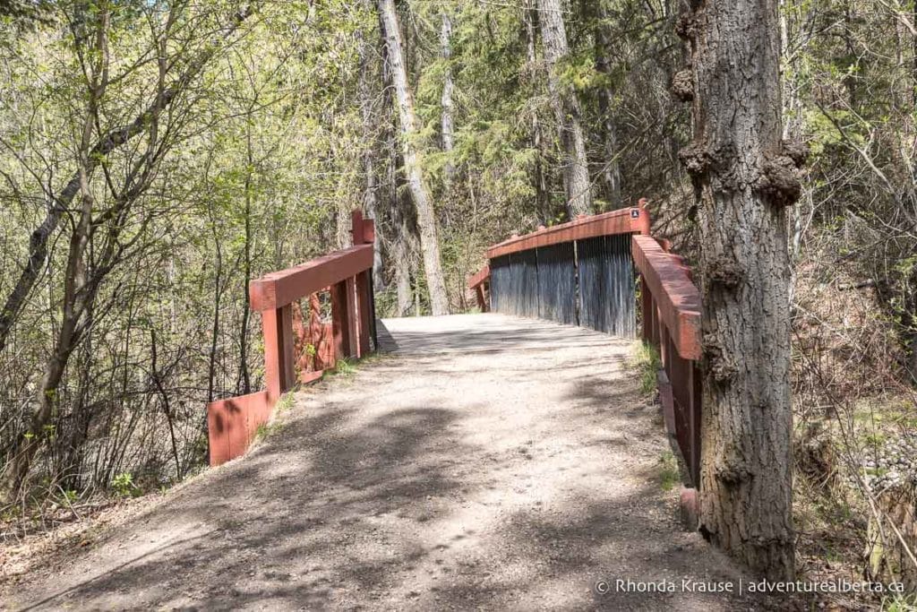
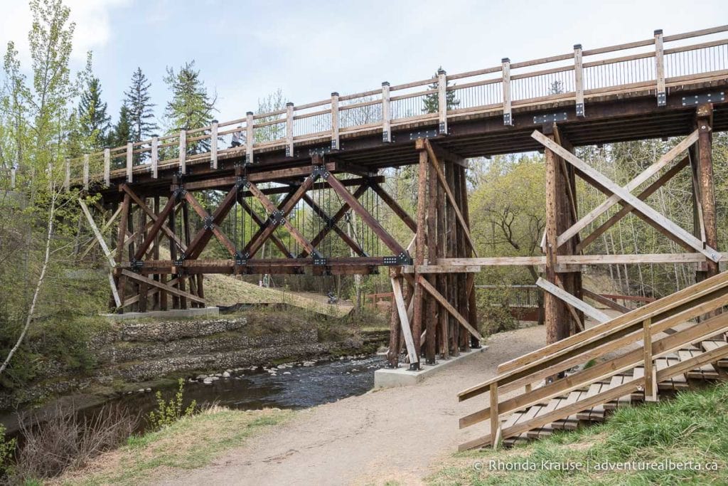
This route explores the Mill Creek Ravine on a variety of forested paths including creek-side gravel trails, mountain bike dirt tracks, and paved multi-use paths. There are several wooden bridges along the route including a restored trestle bridge built in 1902 as part of the Edmonton, Yukon and Pacific Railway.
Route Description
This route starts at the south end of Mill Creek Ravine. The trailhead is at the bend where 69 Ave turns into 84 St at the southeast end of Argyll Park (it’s marked with a sign).
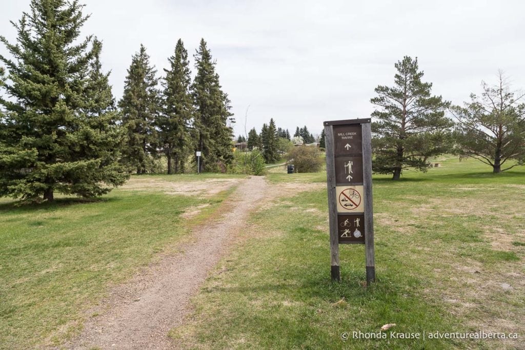
The ride begins on a dirt trail that drops into the ravine then turns left into an off-leash dog area at the bottom of the hill.

You’ll immediately be surrounded by trees and soon will come to the first of many wooden bridges in the ravine. The creek views are quite lovely on this segment as the trail crosses over the water in several places.
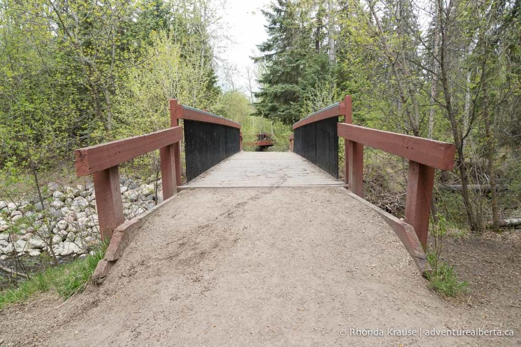
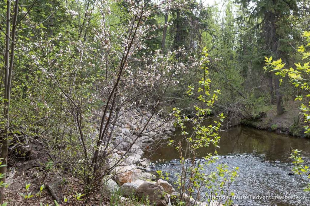
Eventually the trail passes under a historic trestle bridge and continues through the forest, roughly following the path of the creek.
The trail then briefly emerges from the forest and continues to the other side of 76 Ave. Just before the next pedestrian bridge turn right onto the dirt trail. If this trail is closed, continue on the paved path across the bridge until you see a grassy hill that you can ride down to rejoin the unpaved trail.

Once you’re on the dirt trails you’ll continue following the creek through the forest. When you come to a junction, keep left to stay near the creek otherwise you’ll end up climbing a hill into nearby neighbourhoods.
Eventually the trail goes under the 82 Ave bridge and passes by the Mill Creek Outdoor Pool. At the pool entrance the trail makes a bend and crosses over another path. Keep heading north along the creek and don’t go up to the neighbourhood.
Another option at the pool is to follow the road a few feet to a small parking lot on the right. Look for a dirt mountain bike trail that leads from the corner of the lot. This short section is narrow in places and has a few exposed roots and trees to ride around, but is a fun little detour back to the main path.
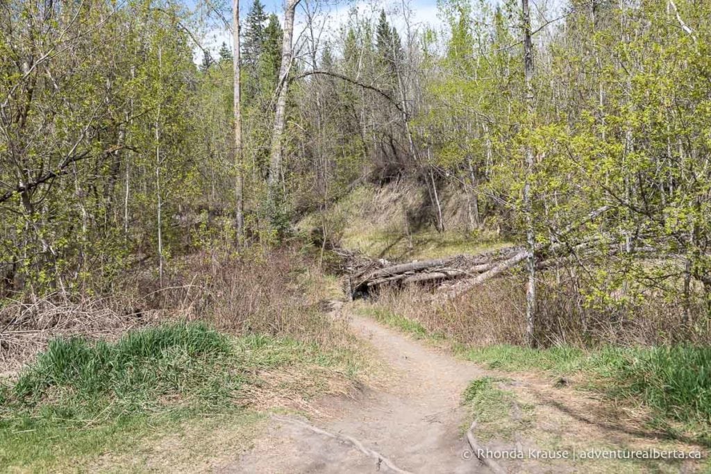
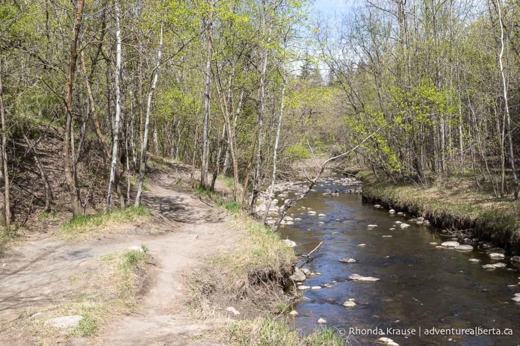
The remainder of the trail in Mill Creek has more wooden bridges and creek views, along with some picnic areas in open parkland.
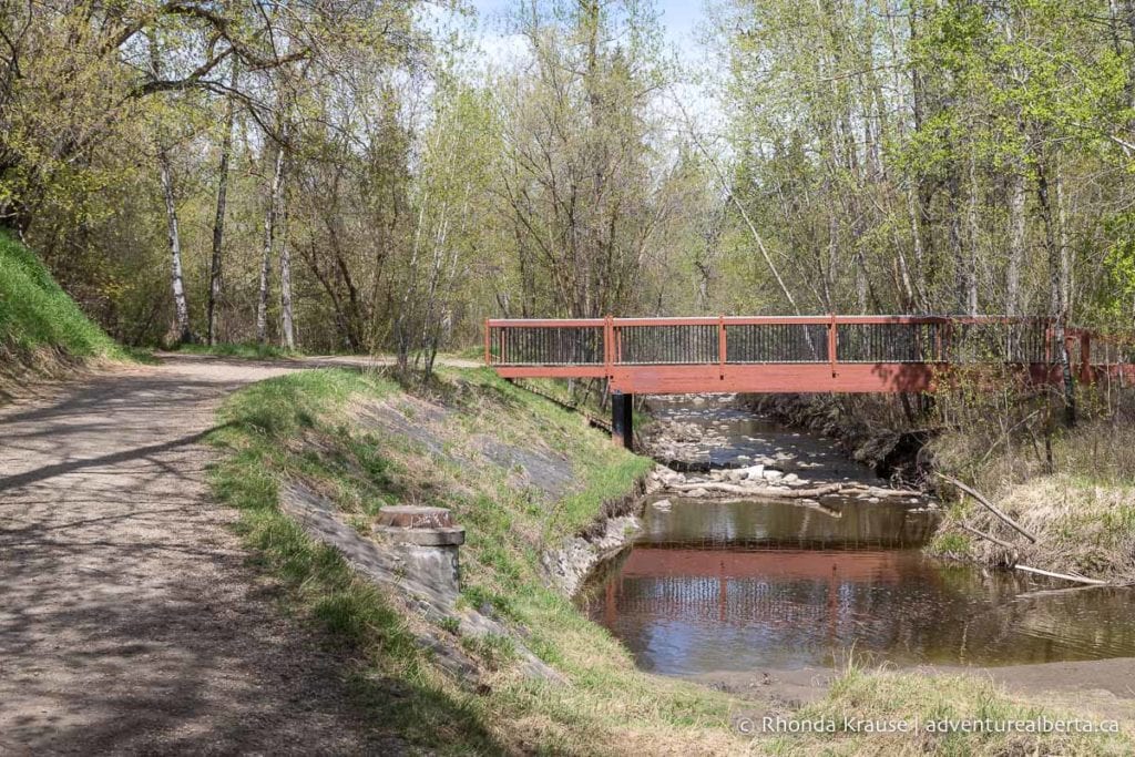
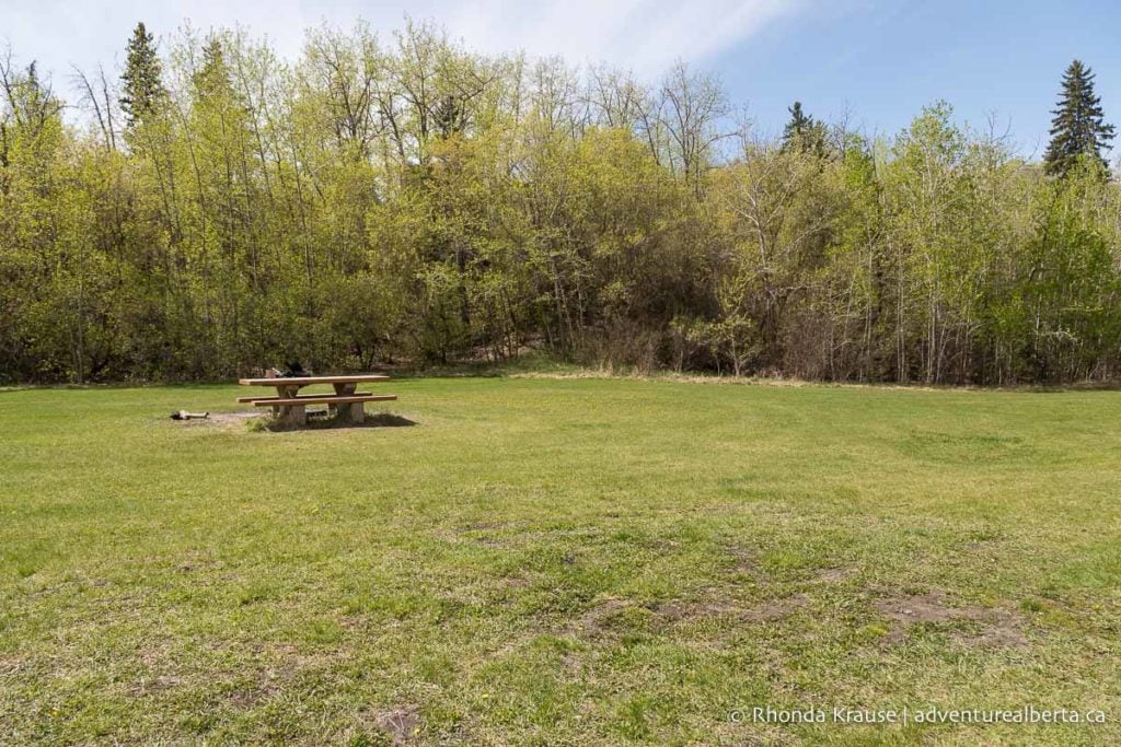
Once you reach the end of the ravine, you can turn left to take the paved path back the direction you came or turn right and follow the trail to the pedestrian bridge spanning Connors Road. The bridge offers great views of downtown Edmonton and it’s worth stopping here to take a photo.
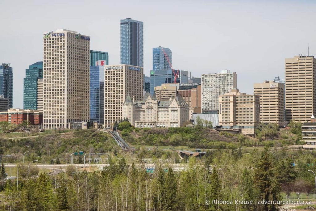
Continuing on, the path approaches the Muttart Conservatory as it passes the Dove of Peace art installation. At the trail’s end, ride on 96a street and rejoin the path at the pedestrian bridge that crosses over 98 Ave.
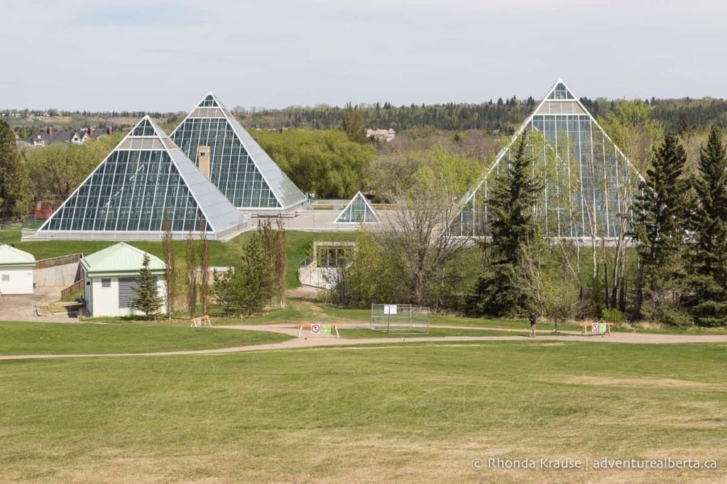
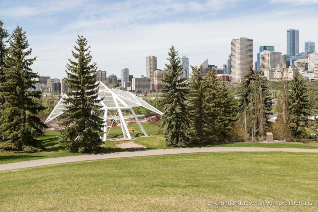
On the other side of the bridge at Henrietta Muir Edwards Park, you can head west on the trails towards Rafter’s landing or take the sidewalk along 98 Ave to the Low Level Bridge. Follow the trail under the Low Level Bridge where it will come to an end at 99a St. Continue on the road and under James MacDonald Bridge where you’ll be able to rejoin the trail on the other side.
This path leads up to a viewpoint where you can enjoy another great view of downtown Edmonton.
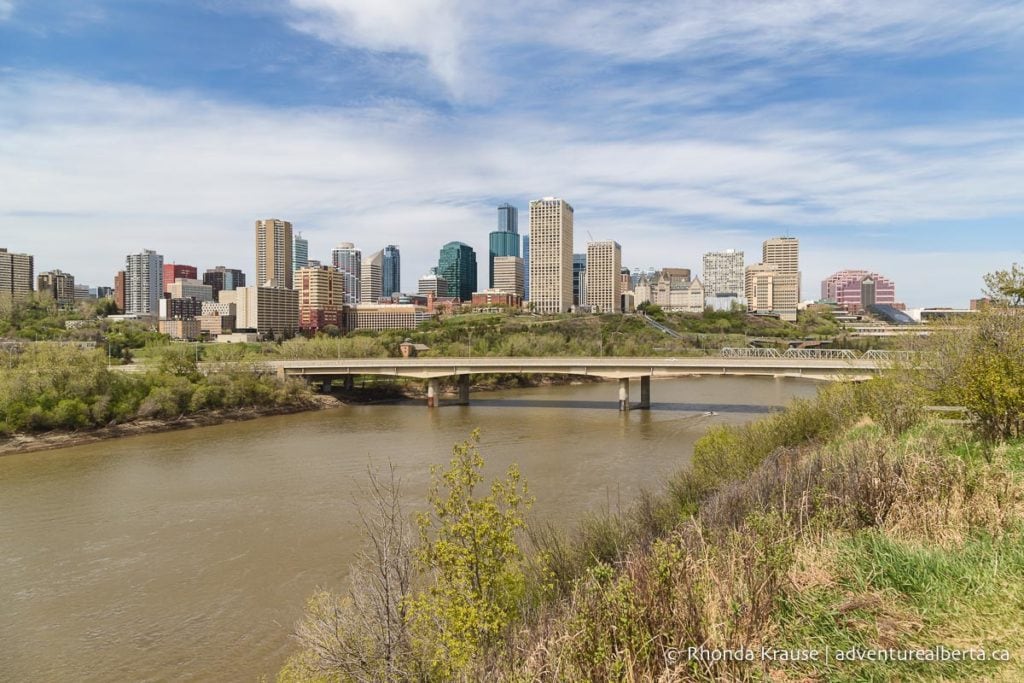
From the viewpoint, go a few feet on 95a Ave then turn right on the side street leading up to the Old Timers Cabin. Ride though the parking lot then cross Scona Road onto 94 Ave where there will be a downhill trail to get back into Mill Creek Ravine.
At the bottom of the hill make a sharp right and follow the paved path all the way back to 76 Ave, where you will once again cross the street. Keep on the paved trail so that you can ride over the trestle bridge you went under earlier.
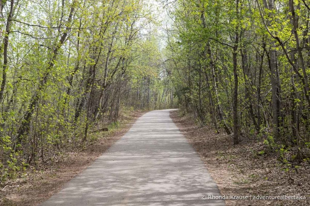
Not long after crossing the trestle bridge you’ll see a sign pointing to the Velodrome. Turn left here then follow the path to the parking lot. From the lot turn left and ride on the road or sidewalk back to the trailhead at the toboggan hill.

Fort Edmonton Park to Terwillegar Park (Loop)
Start and Finish Point: Fort Edmonton Park (another convenient starting point would be Terwillegar Park)
Distance: 13.6 km
Elevation Gain: 43 m
Time Required: 1 hr 15 min- 1.5 hr

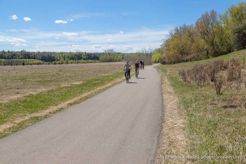
This is a scenic ride that offers several different trail types and possible routes. The landscape alternates between forest and open parkland and there are two beautiful pedestrian bridges to cross over. It’s a great choice for dog lovers since it loops through an off-leash dog park.
Route Description
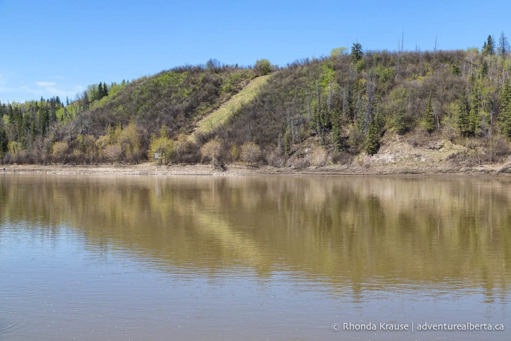
This ride starts from the east end of the Fort Edmonton parking lot. The trailhead is at a sign that says River Loop Trail. Get on the dirt path and follow it a short ways down to the river where you will then turn left to start riding west along the North Saskatchewan River.
Trees frame the trail but there are some openings where you get unobstructed views of the river.
After riding the entire length of Fort Edmonton Park the trail joins a short residential road. Take this until you reach a wide, paved trail on the right. This will lead to the Fort Edmonton Footbridge.

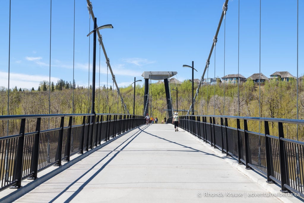
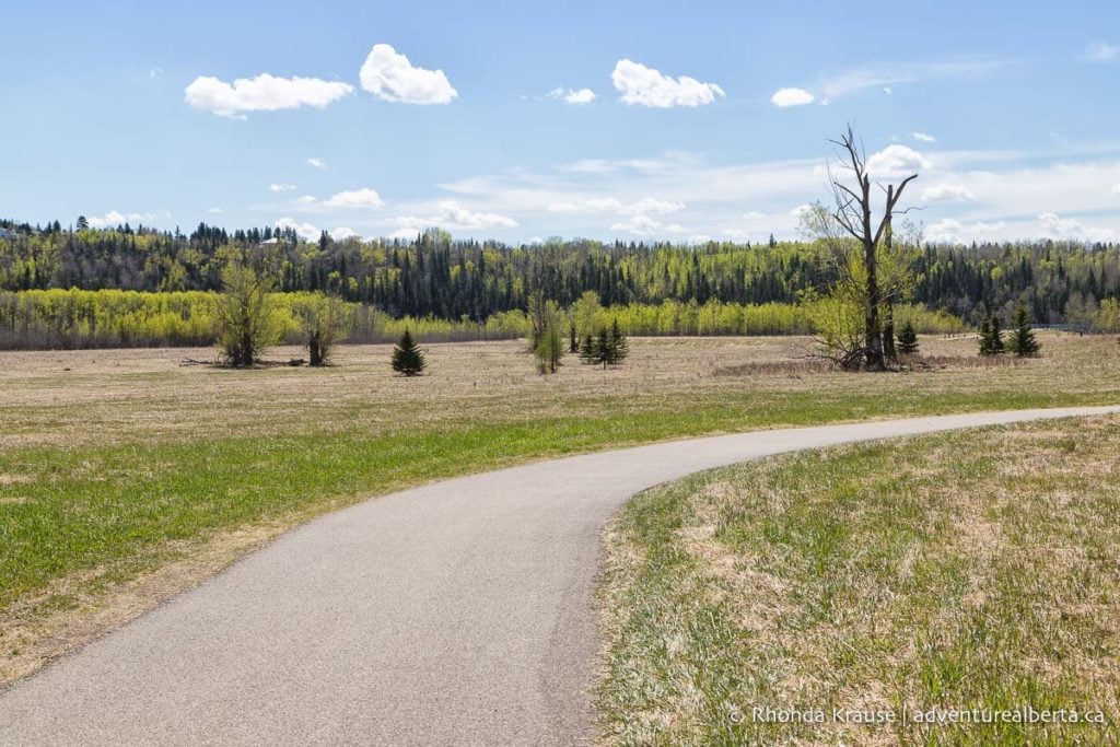
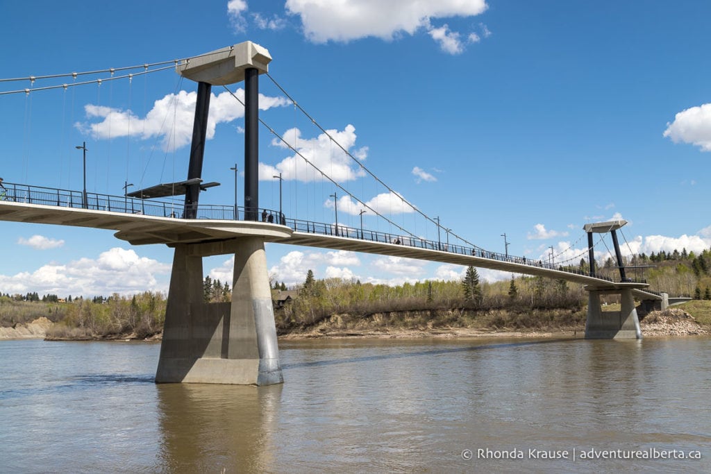
After crossing the suspension bridge the trail curves right then turns left and continues straight through Oleskiw River Valley Park. The park is a wide-open field backed by trees so it feels like you’re in a rural area and not a capital city.
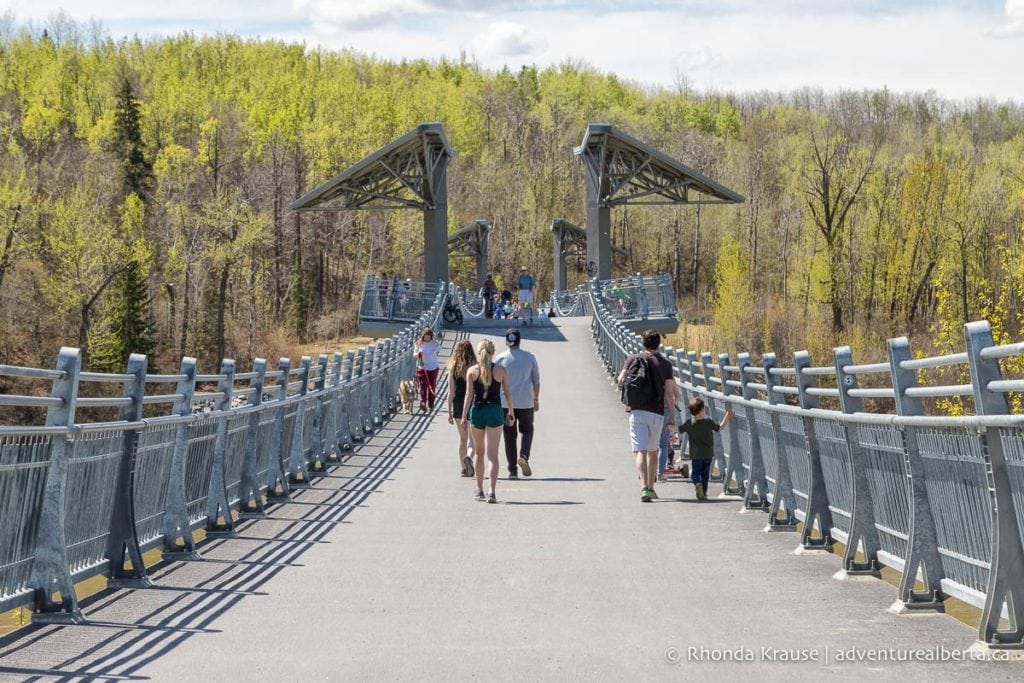
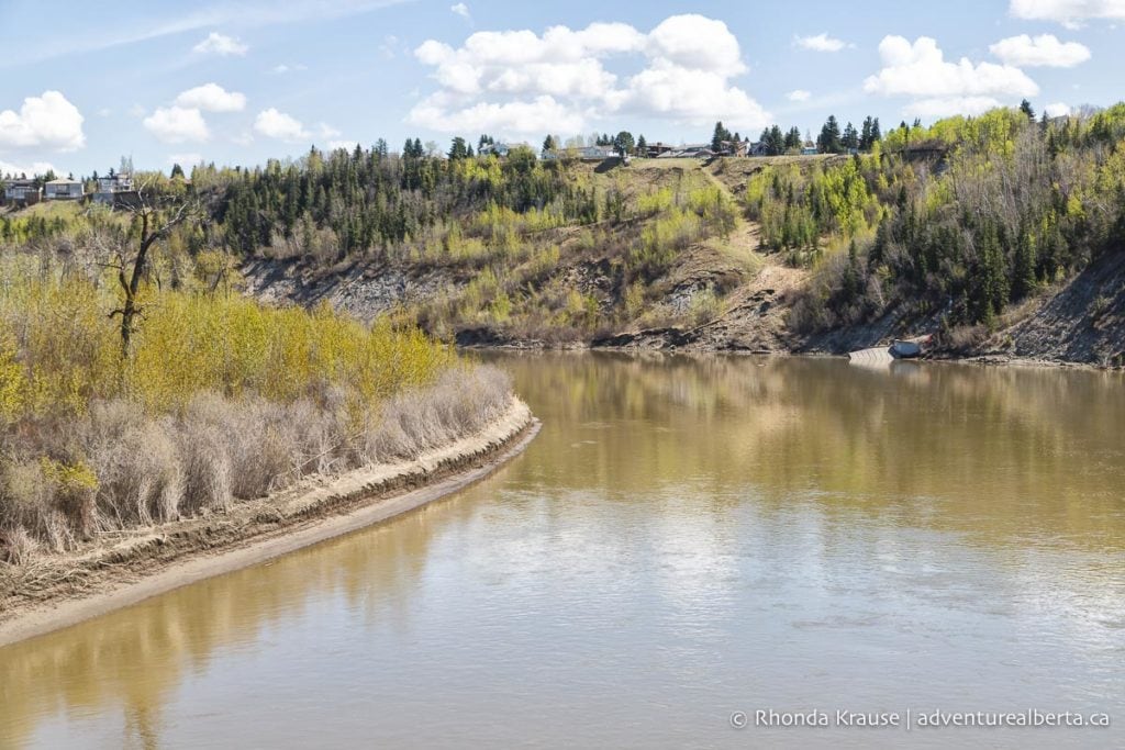
Eventually the trail reaches the Terwillegar Park Footbridge, scenically located between two bends in the North Saskatchewan River.
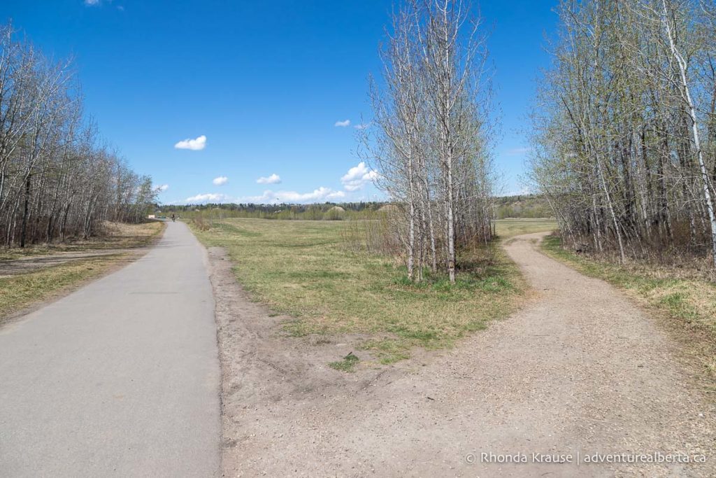
On the other side of the bridge the trail enters into Terwillegar Park. Stay on the paved trail until you see it split into two. At this point go right onto the gravel trail towards the river (and into the off-leash dog area).
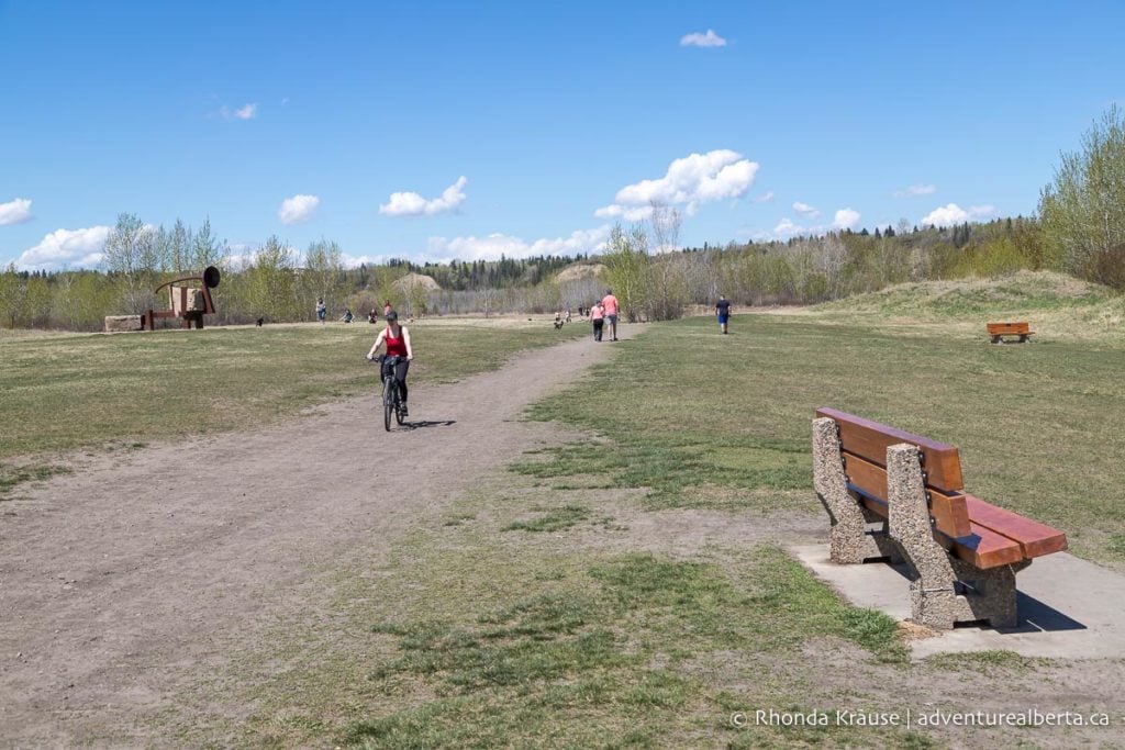
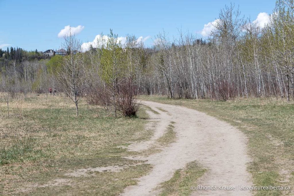
There are a couple possible routes in Terwillegar Park because the trails form different sized loops, but basically there’s a shorter inner loop and a longer outer loop joined by connector trails. To get a taste of both, stay straight when you see a trail branch off to the right. This will take you to an area of ponds that used to be gravel pits about ¾ of the way into the park.
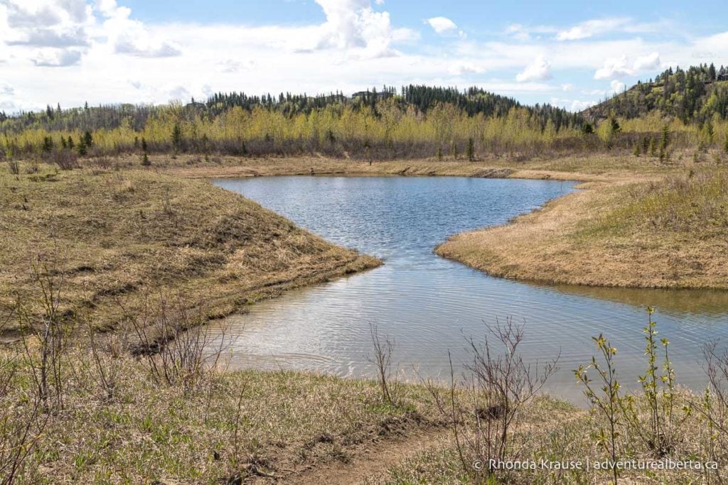
At the bench near the ponds, go right on the dirt trail then left at the next junction to reach the path that goes around the perimeter of the park. Follow this wide gravel trail counterclockwise around the park.
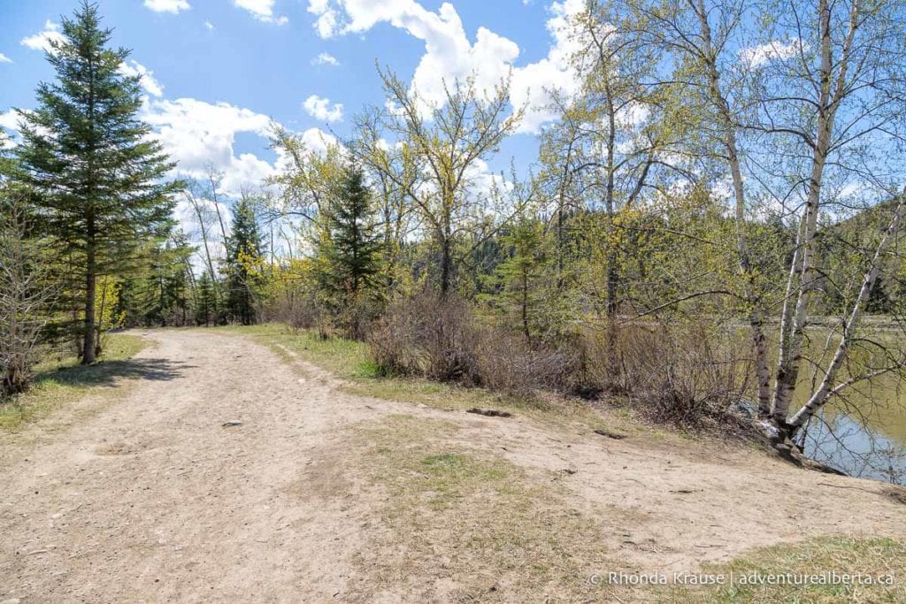
Eventually the path leaves the trees and comes back into the open centre of Terwillegar Park. Head towards the parking lot then get back on the paved trail to Terwillegar Park Footbridge.
For a change of scenery on the way back to Fort Edmonton, turn right onto the dirt trail at the end of the Terwillegar Footbridge. This will lead to a path that follows the outer edge of Oleskiw River Valley Park and some mountain bike trails that go through the forest closer to the river.

The furthest trail that runs along the river is narrow in places with some bumpy sections of exposed roots. There are also a few fallen trees that have notches carved out to make them easier to ride over.
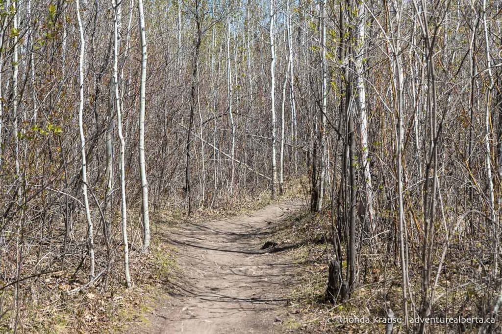
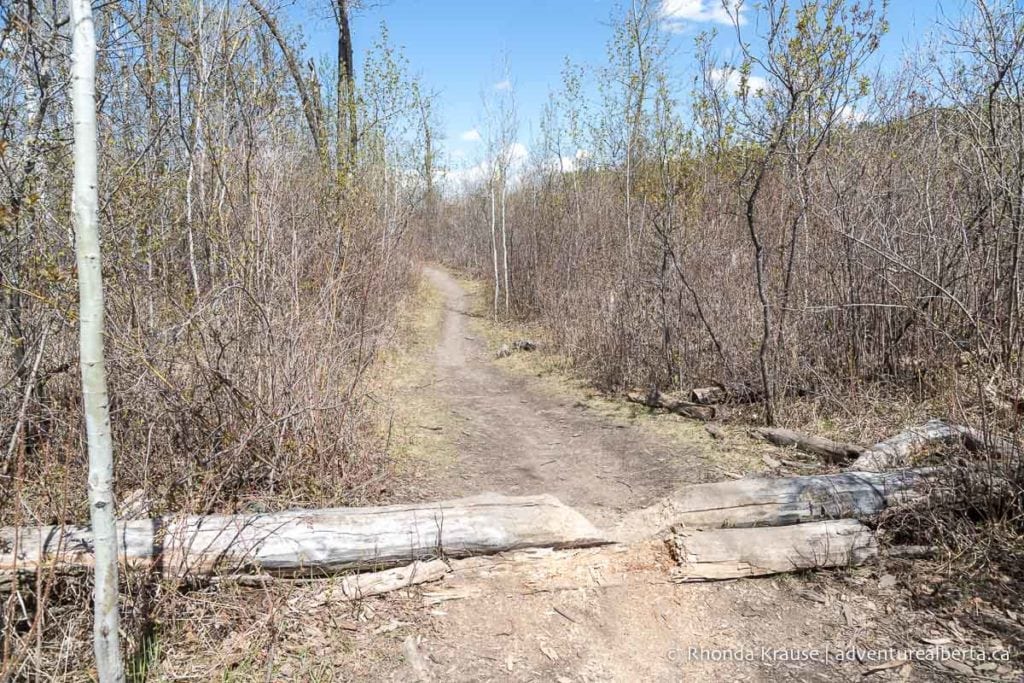
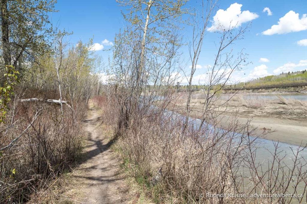
The trail is more interesting and adventurous than the paved route through Oleskiw River Valley Park, but nothing that’s overly difficult or advanced. If you decide it’s not right for you, there is an opportunity to switch off onto a connector trail that will get you back to the edge of the park.
The trail exits the forest at the Fort Edmonton Footbridge. Cross over it again but this time when you reach the residential street turn right then go left onto the paved trail. This path follows the other side of Fort Edmonton Park and has a few small hills before it arrives at the John Janzen Nature Centre. From here you can drive through the parking lot back to your vehicle.

Fort Edmonton Park to Hawrelak Park (Loop)
Start and Finish Point: Fort Edmonton Park (another convenient starting point would be Hawrelak Park)
Distance: 9.7 km
Elevation Gain: 77 m
Time Required: 1 hr- 1 hr 15 min

The loop between Fort Edmonton and Hawrelak Park is a quick and enjoyable ride, mostly on pavement, that passes through several river valley parks. There’s one challenging uphill climb and a few places where you can stop and enjoy views of the river valley. This can be combined with the Fort Edmonton- Terwillegar route mentioned above for an extended ride on Edmonton’s river valley bike trails.
Route Description
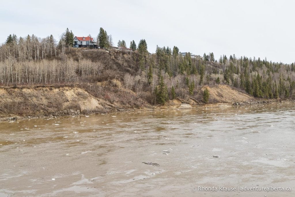
This route starts on the paved trail across from the Fort Edmonton parking lot. It begins by going under the Quesnell Bridge then into Whitemud Park via a short footbridge.
The path follows beside the river and passes by the Whitemud Equine Centre before beginning a long, steady uphill climb, with a few switchbacks, to the Belgravia neighbourhood. This is the only physically demanding section on this route.

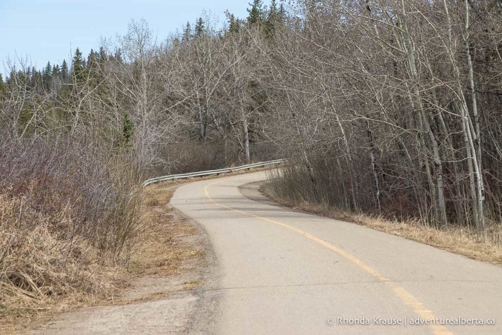
At the top of hill follow the path along Saskatchewan Drive. There are some beautiful homes to admire while you ride. Eventually the bike path joins up with a sidewalk that you can ride beside Groat Road to Hawrelak Park.
At 87 Ave there’s a long downhill section where you can really pick up speed, but remember you’re sharing the sidewalk with pedestrians and riding beside a busy road.
Turn left into Hawrelak Park at the bottom of the hill then take the first left inside the park. Here you can get on a gravel path that will follow along the tree line. Keep straight past the picnic site then cross over the North Saskatchewan River at the Hawrelak Footbridge.
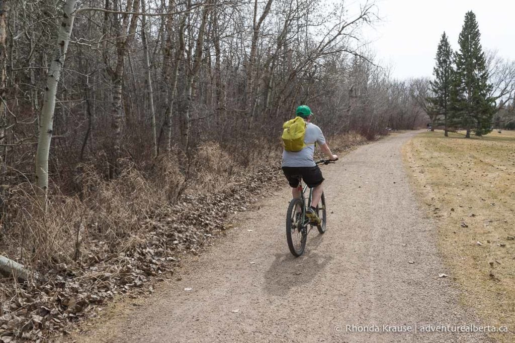
At the end of the bridge you’ll be back on pavement for the rest of the ride. The path goes through Buena Vista Park, then past the rowing club and Valley Zoo before entering into Sir Wilfrid Laurier Park.
About halfway into the park you’ll find yourself on a wide trail surrounded by trees. Near the end there’s a staircase where you can get a view of the river.
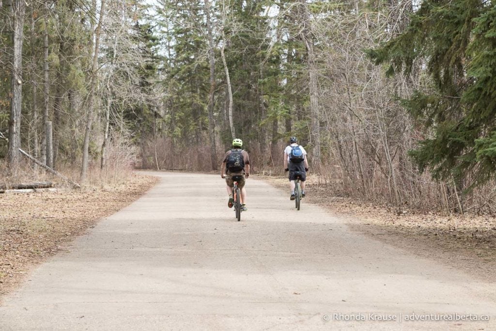

To finish the loop, cross the Quesnell Bridge and follow the path past the Talus Dome art installation. Turn into Fort Edmonton Park at the next intersection and follow the path back to the parking lot.
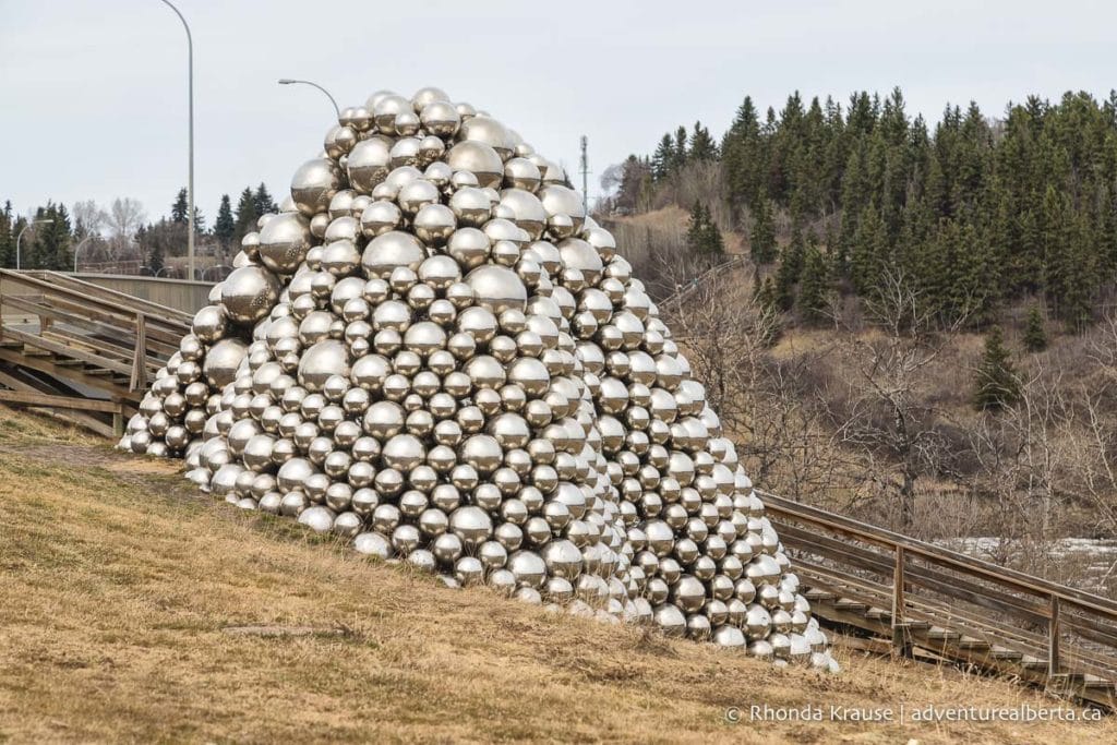
Review of Edmonton’s River Valley Bike Trails
The bike trails in Edmonton make it possible to enjoy a full day of outdoor recreation in nature without ever having to leave the city.
There’s an impressive variety of trails for every type of rider and routes can be mixed and matched to create a bike ride that’s as long as you’re in the mood for.
Edmonton’s river valley bike trails are a true gem you don’t usually find in a major urban centre and biking them is an enjoyable way to see the city’s most scenic spots.
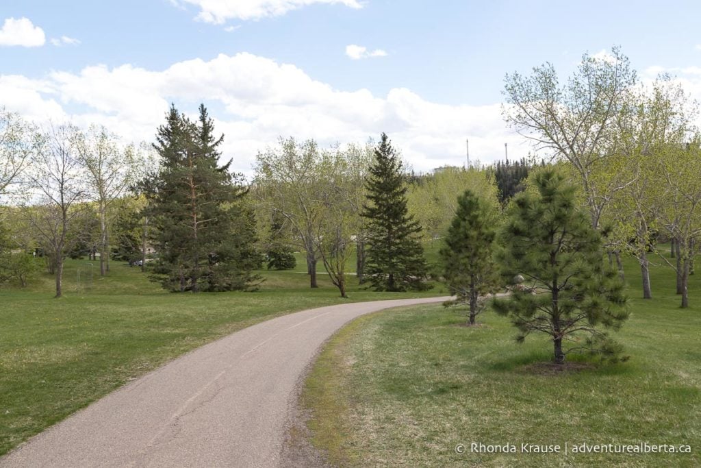
Tips for Enjoying Edmonton’s Bike Trails
Where to Start Your Ride: The river valley parks are ideal places to access the biking trails in Edmonton. By starting from a park down in the valley you won’t have to climb a big hill at the end of your ride.
- Staging from a central park like Hawrelak or Kinsmen will give you more flexibility when it comes to the direction and distance of your ride (there are a lot of river crossings so you can create short or long loops).
Edmonton Bike Trails Map: Here are maps of Edmonton’s river valley trails. They only show the main paths and not all the mountain bike trails you can find once you start exploring.
- The Trailforks app can show you a larger selection of bike trails in Edmonton, especially when it comes to mountain biking.

Accommodations in Edmonton
For your convenience, here is a list of hotels in Edmonton. Please consider booking your Edmonton accommodations through the included link. It costs nothing extra and helps support this website. Thank you!
More Outdoor Activities in Edmonton
You may also enjoy these other Edmonton activity guides:
Shop for Edmonton Merchandise
Visit our store for more Alberta, nature, and adventure inspired products.


